



Page 183 of 586
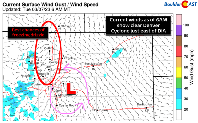
The week ahead will largely feature colder than normal temperatures with just minor chances for precipitation on several of the days. A frontal boundary will waver along and south of the Front Range through the week ahead leaving our area stuck in a pesky chilly airmass. A series of shortwave troughs will track through but for the most part remain north of our region leading to just limited rain/snow potential east of the Mountains. We detail all of this and more in our regularly-scheduled weekly outlook.

BoulderCAST Daily – Sun 03/05/23 | Red Flag Warning in effect under warm, dry, and breezy conditions
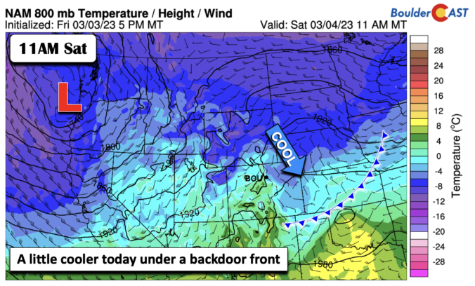
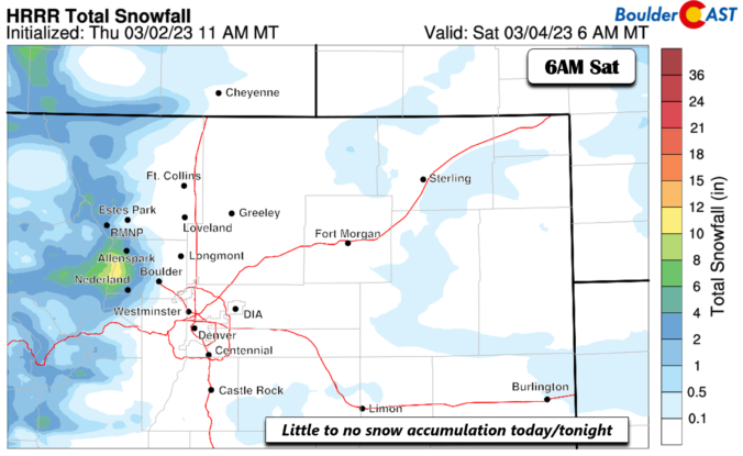
February 2023 was a chilly exclamation point on what was ultimately Boulder’s 2nd coldest winter in 30 years and the coldest since 2010. This very icy status was solidified by one of the most pronounced late February cold snaps on record. Here’s a quick and colorful graphical recap of our weather during February and how it relates to climatology.


Live View of Boulder

Current Conditions

Live Radar

Latest Smoke Forecast

Recent Premium Posts

BoulderCAST Daily – Tue 10/06/26 | October Heatwave Keeps Its Grip on the Front Range All Week Long
🔥 Record October heat — Boulder hit 89°F yesterday (just shy of the …
BoulderCAST Daily – Sun 10/04/26 | The Persistent 80s and Continuation of Summer-Like Temperatures
🌡️August-like temperatures: Temperatures hover in the 80s throughout the upcoming week, prolonging the …
BoulderCAST Daily – Sat 10/03/26 | Quiet and Mild in Colorado but Active in the Tropics
☀️ Quiet and dry weather: Highs in the 80s continue through nearly the …
3-Day Forecast

Trending Content



© 2026 Front Range Weather, LLC