



Page 184 of 586
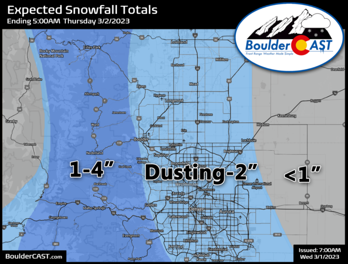
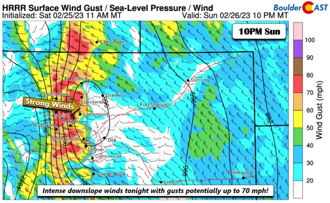
The week ahead will indeed be an active one across the Front Range as an unsettled pattern remains entrenched across the western United States for the foreseeable future. This will spell out periods of gusty downslope winds, persistently cool temperatures and at least one or two chances for snowfall this week in our area, with the best shot coming Wednesday evening and night.
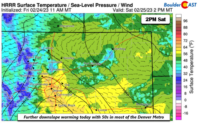
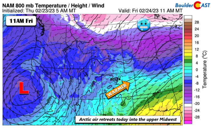
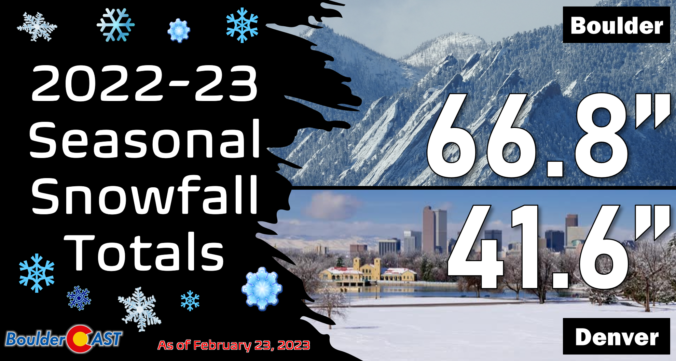
The sun is out but temperatures are way below zero this Thursday morning! Here’s a few highlights from the ongoing Arctic blast as snow wraps up and a slow warming trend begins across the Front Range.

Live View of Boulder

Current Conditions

Live Radar

Latest Smoke Forecast

Recent Premium Posts

BoulderCAST Daily – Tue 10/06/26 | October Heatwave Keeps Its Grip on the Front Range All Week Long
🔥 Record October heat — Boulder hit 89°F yesterday (just shy of the …
BoulderCAST Daily – Sun 10/04/26 | The Persistent 80s and Continuation of Summer-Like Temperatures
🌡️August-like temperatures: Temperatures hover in the 80s throughout the upcoming week, prolonging the …
BoulderCAST Daily – Sat 10/03/26 | Quiet and Mild in Colorado but Active in the Tropics
☀️ Quiet and dry weather: Highs in the 80s continue through nearly the …
3-Day Forecast

Trending Content



© 2026 Front Range Weather, LLC