


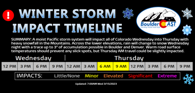
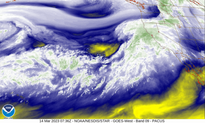
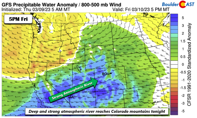
A potent atmospheric river event is ongoing across the southwestern United States right now including portions of western Colorado. After our warmest day in more than four months on Wednesday, this moist system will enter the picture for the Front Range Wednesday night with rain changing to snow across the Plains and Foothills as a cold front slides through. Though the best upslope will be south and southwest of Denver with this event, most everyone will see snowflakes amounting to a several inches in some places and just a dusting in others. Let’s take a look at the expecting timing of the change-over to snow, snowfall amounts, and the travel impacts in the works as winter weather returns to the Front Range.

Page 182 of 586

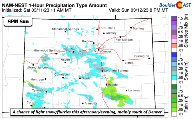
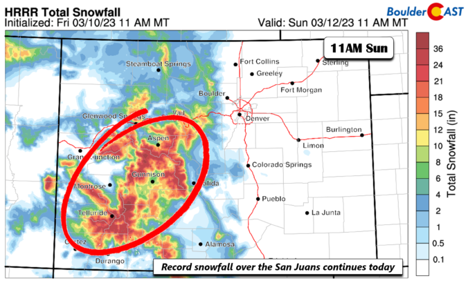
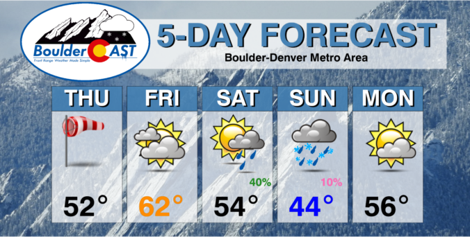
This week’s weather will feature a resurgence of winter across the Front Range, but in typical fashion it will be immediately preceded by a few days of spring-like conditions including potentially our first 70-degree day of 2023. The bottom is set to fall out Wednesday night with rain changing to wet snow across the region. Though there is still some uncertainty due to the lead time, accumulating snowfall looks very likely for almost everyone in the Metro area. Read on for our complete outlook of the weather week ahead.

Live View of Boulder

Current Conditions

Live Radar

Latest Smoke Forecast

Recent Premium Posts

BoulderCAST Daily – Tue 10/06/26 | October Heatwave Keeps Its Grip on the Front Range All Week Long
🔥 Record October heat — Boulder hit 89°F yesterday (just shy of the …
BoulderCAST Daily – Sun 10/04/26 | The Persistent 80s and Continuation of Summer-Like Temperatures
🌡️August-like temperatures: Temperatures hover in the 80s throughout the upcoming week, prolonging the …
BoulderCAST Daily – Sat 10/03/26 | Quiet and Mild in Colorado but Active in the Tropics
☀️ Quiet and dry weather: Highs in the 80s continue through nearly the …
3-Day Forecast

Trending Content



© 2026 Front Range Weather, LLC