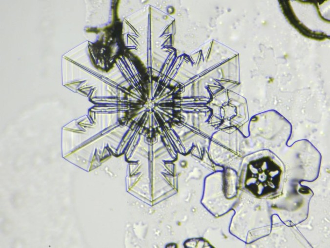
This week’s weather quiz topic was snowfall forecasting. Read on for some background information, the quiz results, and a deep dive into the answer. Continue reading
Category: Winter Weather (Page 101 of 139)
These posts contain some discussion of the white stuff, whether it be mountain snow pack or a Front Range snowstorm.
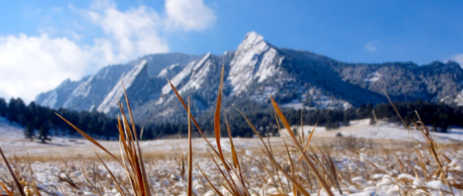
This shortened first work-week of 2019 will feature a return to mild temperatures along with lots of sunshine. You won’t believe how warm it is going to be on Friday and Saturday! Only over the weekend do clouds and the next chance of snow return to Colorado.
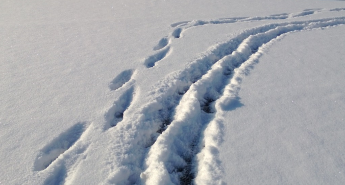
We hope you had a great New Year’s Eve and managed to stay warm! Despite snow falling for more than eightteen hours straight in many locations, it didn’t add up to all that much, or overly impact holiday travel. We review the snow totals from across the Front Range and when the bitter cold will break.
Just when it seemed 2018 would end on a quiet note, snow returns to the forecast for New Year’s Eve in Boulder and Denver. Read on to find out when the snow will begin, how much we will see, and when we expect the first below zero temperatures of 2019.
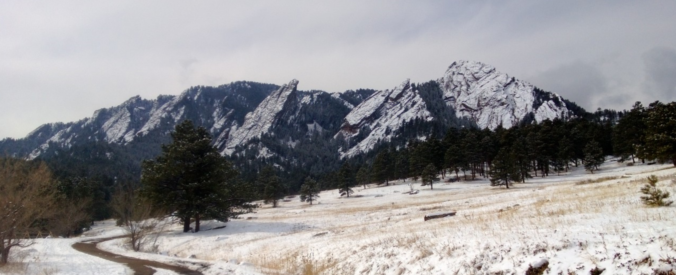
We discuss the strong snow storm that eluded the Front Range, the very cold temperatures expected the next few days, and when our next chance of snow will be.

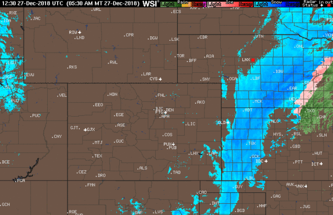
In this week’s forecast, we cover the pleasant weather for Christmas Eve and Day, potential snow amounts for Wednesday’s storm, and the big cool-down coming later this week. Unfortunately, this Christmas will not be a white one for the lower elevations. Head to the Mountains if you want snow.
The active storm track of late will continue through the weekend and into much of next week. We discuss the four (yes four!) storms that will impact Colorado over the weekend and early next week. The last in the series has potential to bring significant snow to eastern Colorado.

Live View of Boulder

Current Conditions

Live Radar

Recent Premium Posts

BoulderCAST Daily – Fri 06/05/26 | A streak of 90s set in through the weekend
🥵 A streak of 90s today through the weekend with low to middle …
This Weekend in Colorado Weather: Early-Season Heat Ramps Up — First 90s of the Year on the Horizon
🌬️ West–northwest flow Thursday supports high‑based convection with gusts to 35 MPH; virga …
BoulderCAST Daily – Wed 06/03/26 | Scattered P.M. storms again as moisture peaks for the week
🌬️ Weak westerly flow aloft today with no major synoptic features nearby; only …
3-Day Forecast

Trending Content

© 2026 Front Range Weather, LLC