
A brief period of snow lasting only about five hours made for a messy commute Thursday morning! We discuss the event, review storm totals and check-in on seasonal snow amounts for Boulder and Denver so far this winter. We’re also tracking our next wintry event scheduled for Monday.
Category: Winter Weather (Page 100 of 139)
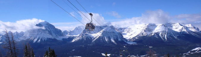
These posts contain some discussion of the white stuff, whether it be mountain snow pack or a Front Range snowstorm.

More white stuff is in the forecast for early Thursday morning. Unfortunately, poor timing could interrupt the morning commute. We discuss why this snow is “sneaky”, the timeline for the event, and potential snow amounts.
A review of the snow totals from Monday night into Tuesday morning.
Though MLK Day will begin rather mild and pleasant, a storm is heading this way! Rain and snow showers will develop later this evening across the Front Range and continue overnight into early Tuesday. We discuss the timeline for the storm, potential snow amounts, and where blizzard conditions will be possible Monday night.
PREMIUM STORM UPDATE (Monday Jan 21 at 3:00 PM): A quick check on the latest models runs and what it means for the forecast. Read HERE.
Mother Nature never disappoints us! Just when it looks like another quiet weather-week in Colorado, snow is on the horizon! We talk timing, amounts, and model uncertainty for wet snow beginning Friday morning. Read on for details.
UPDATE (FRIDAY 6AM): We are seeing better agreement among the models this morning. Better, but still not great. We have increased snow totals slightly and that is reflected in our included snowfall map.
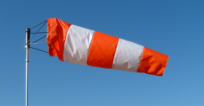
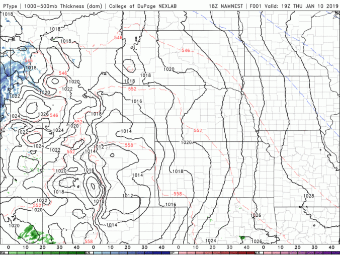
While the upcoming week will feature dry conditions and warm temperatures by January’s standards, the primary concern will be the very strong bora wind event making for dangerous travel at times on Monday west of Interstate 25. Read on for our full outlook of the upcoming week.

Live View of Boulder

Current Conditions

Live Radar

Recent Premium Posts

BoulderCAST Daily – Fri 06/05/26 | A streak of 90s set in through the weekend
🥵 A streak of 90s today through the weekend with low to middle …
This Weekend in Colorado Weather: Early-Season Heat Ramps Up — First 90s of the Year on the Horizon
🌬️ West–northwest flow Thursday supports high‑based convection with gusts to 35 MPH; virga …
BoulderCAST Daily – Wed 06/03/26 | Scattered P.M. storms again as moisture peaks for the week
🌬️ Weak westerly flow aloft today with no major synoptic features nearby; only …
3-Day Forecast

Trending Content

© 2026 Front Range Weather, LLC