
Hint: All of the clues are related to Boulder, Denver, and/or Colorado weather. OK, well most of the clues…
Category: Severe Weather (Page 13 of 21)
The posts contain discussion of severe weather in our region, including forecasts, outlooks, and recaps of events involving large hail, damaging winds, and tornadoes.
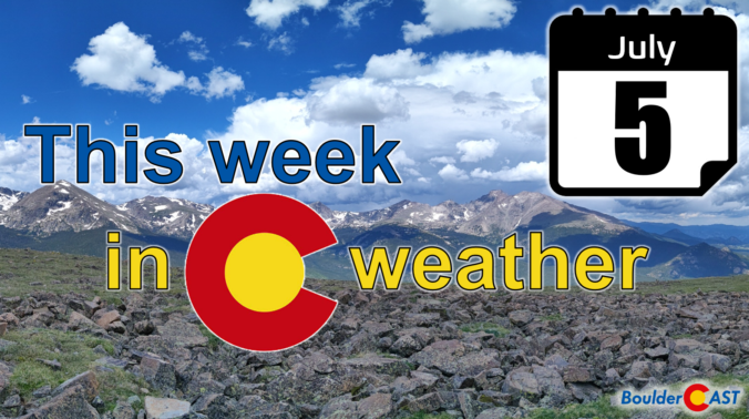
We hope you had a great Fourth! The Southwest monsoon remains active through the middle part of the week with good chances for rain in Boulder and Denver, especially Tuesday and Wednesday. Unfortunately, the pattern shifts late in the week suppressing the flow of monsoon moisture into Colorado. This will cause drying for us, but also a spike into triple-digit temperatures for the weekend. Read on for our full outlook of the week and weekend ahead.
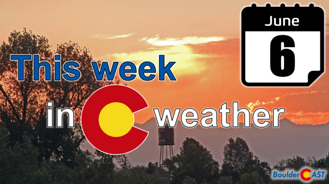
The ongoing heatwave will last through Monday with near-record high temperatures expected once again. A welcomed cold front Monday night will offer a reprieve from the heat for a couple days, but the sizzling temperatures return in full-force later in the week. We’ll largely be dry the entire week ahead. However, signs are pointing towards a surge of subtropical moisture during the upcoming weekend into the Four Corners region. This will bring the chance of late-day thunderstorms back into the Front Range.
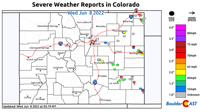
⦁❶⦁ Tuesday was an active severe weather day across Colorado with widespread very large hail, 75+ MPH wind gusts, and numerous tornadoes reported
⦁❷⦁ Today will be mostly sunny and seasonal with highs around 80 degrees
⦁❸⦁ A heatwave is taking shape tomorrow and will last into early next week with daytime highs well into the 90s expected
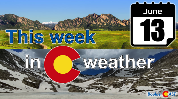
A series of subtle disturbances through midweek with an approaching cold front will favor increased chances of scattered showers and storms Monday through Wednesday. Highs will largely reside near normal through this period. A ridge of high pressure will start to settle into Colorado by the end of the week, resulting in drier conditions and intensifying heat.
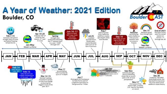
2021 was a diverse year in Colorado weather which isn’t out of the ordinary. However, 2021 definitely upped the ante a bit. The year began quite cold and wet but had a prolonged warm and parched finish. We saw the widespread drought get abolished at one point and then promptly get reinstated. Months of poor air quality from distant (and some close) wildfires characterized the summer season — not the monsoon. And of course, everything culminated in a devastating and fiery ending just before the New Year. We made 14 unique graphics that together characterize only a small slice 2021’s weather in Boulder. Enjoy!
After enduring extreme late summer heat of late, we thankfully start off this week with closer to average temperatures and a threat of thunderstorms, some being severe into Tuesday evening. Drier and warmer conditions take over Wednesday through Friday, although the upcoming weekend could see a resurgence of moisture and unsettled weather.
Happy Labor Day! This week will feature wildfire smoke building back into the region causing visibilities to deteriorate, especially Monday through Wednesday. With the exception of Tuesday, most of the week will see above average temperatures, even potentially record-breaking ones late in the week. All is dry, though unsettled weather increases over the upcoming weekend into early next week.

Live View of Boulder

Current Conditions

Live Radar

Recent Premium Posts

BoulderCAST Daily – Sun 05/31/26 | Dry and warm today but rain chances increase this week
🌦️ Overall dry and warm Sunday, though cannot rule out a very widely …
BoulderCAST Daily – Sat 05/30/26 | A stray shower today as most activity resides well east of Denver
🌦️ Spotty showers today, mainly well east of the Denver Metro area, where …
BoulderCAST Daily – Fri 05/29/26 | A Marginal Risk of Severe Isolated Storms
🌦️ Spotty showers this afternoon, mainly noon and 4 PM, with highs in …
3-Day Forecast

Trending Content

© 2026 Front Range Weather, LLC