The Front Range finally saw its first real snow of the season last week, with Boulder picking up about 8 inches and the Foothills a bit more. The Mountains then cashed in over the weekend, stacking up one to four feet of powder. While this moisture is a welcome boost to our lagging snowpack, it’s not enough to erase drought concerns—but fire risk this year looks very different than the setup before the Marshall Fire. Looking ahead, the story shifts from snow to wind: multiple high‑wind events are on tap for the Foothills this week, while Boulder and Denver stay mostly dry and mild with highs in the 50s to 60s with occasional breeziness. Read on for the full breakdown of this week’s weather.
Category: Learn Front Range Weather (Page 1 of 3)
Colorado’s monsoon season has been off to a sluggish start, and the latest surge storm potential this week isn’t even from the monsoon itself—it’s thanks to potent cold fronts dropping in from the northeast. In today’s update, we dig into why flash flooding is on the rise this week, which areas are most at risk, and what the next few days could mean for our thirsty landscapes. Spoiler: while heavy rain is possible, it’s only a short window and many of us won’t see it. Plus, the new blanket of wildfire smoke is likely to stick around through the weekend.
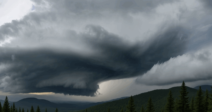
Wednesday may have felt underwhelming across the lower elevations of the Front Range, where lingering low clouds kept things calm and cool for much of the day — but just west of Boulder, up in the sunshine-soaked Foothills, something rare and striking took shape Wednesday afternoon. A graceful funnel cloud twisted above the mountain peaks in a spot where such phenomena almost never occur. We explore why tornadoes (and their funnel-shaped precursors) are so uncommon in Colorado’s higher terrain, and take a closer look at what makes broader Boulder County particularly adverse to tornado development.
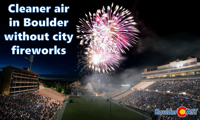
While fireworks once lit up Boulder’s Fourth of July, the city has moved on from the tradition due to rising fire risks, noise concerns, crowd issues, and high costs. But there’s another reason to consider: air quality. This year’s air quality data from across the Denver Metro area revealed that Boulder’s lack of a city-run fireworks show resulted in noticeably lower pollution levels compared to neighboring cities.
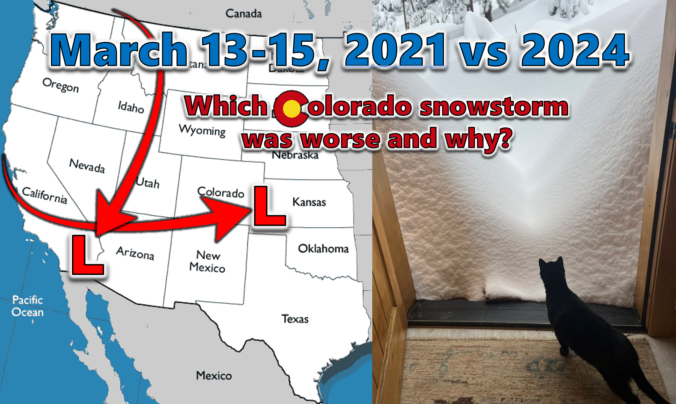
Last week’s dumping of wet snow in the Front Range occurred three years to the day after our most recent significant snowstorm back in March of 2021. We do a comparative analysis between these two epic mid-March snowstorms, examining their distinct storm tracks, the meteorological factors contributing to their varied snowfall production, and discuss their differing forecast hype. We also explore their respective snow totals and distribution across the Denver Metro area, including a detailed account of how these two snowstorms were able to make Front Range history exactly three years apart despite being so fundamentally different.
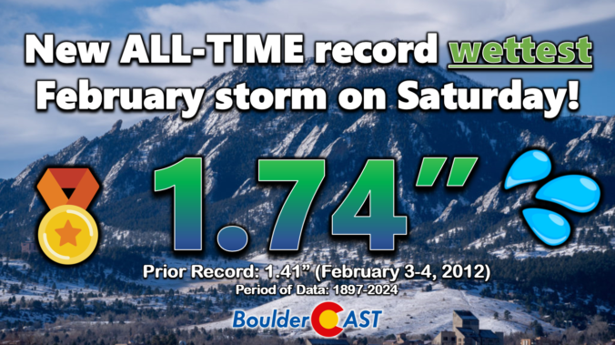
Well, our snowfall forecast for the sloppy weekend storm ended up being a tad off in many areas. Hopefully our in-depth discussions in the days leading up to the event highlighted that the exact outcome of this warmer-than-usual storm was highly uncertain. We first review the record-breaking precipitation and snowfall totals across the Front Range. Then we discuss what went wrong with the forecast and dive into the finer details of this implausible moisture-infused winter storm.

Hint: All of the clues are related to Boulder, Denver, and/or Colorado weather. OK, well most of the clues…

Live View of Boulder

Current Conditions

Live Radar

Recent Premium Posts

Storm Update – Fri 03/06/25 8:00 AM | Wet snow totals nudged a tad across the board, but impacts remain relatively unchanged
❄️ Sloppy Snowstorm Looking Good: Stronger, slower system is now expected to deliver …
BoulderCAST Daily – Wed 03/04/26 | A pair of gorgeous days preceding a cold & snowy Friday
🌧️ Yesterday’s storm shifted south, dropping 0.4–1.0″ of rain in the Springs/Pueblo while …
BoulderCAST Daily – Tue 03/03/26 | Storm #1 spreads rain in today, while Storm #2 remains on-track to produce snow later this week
🌧️ First shortwave of the week arrives today with rain for the lower …
3-Day Forecast

Trending Content

© 2026 Front Range Weather, LLC