Category: BoulderCAST Daily (Page 51 of 465)

This page contains an index of our BoulderCAST Daily forecast updates. If you are NOT a Premium member, you will only see a tiny sample of this content below. Subscribe to BoulderCAST Premium to gain access to all of our daily forecasts which get published every morning.
Premium BoulderCAST Daily – Sat 09/06/25 | Smoke lingers with an isolated late-day shower possible

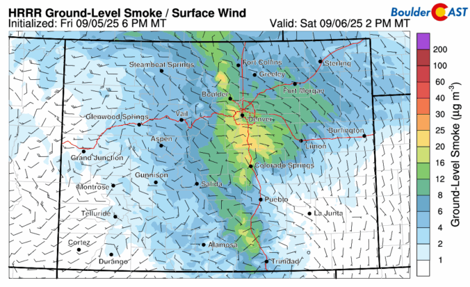
The haze and smoky skies will continue today as the wildfire smoke remains stuck along the Front Range. A persistent easterly flow during the day will keep the smoke banked up along the eastern Foothills and Plains of Colorado. If you don't need to go outside, that will be a better option than hiking or doing an outdoor activity. If …

Premium BoulderCAST Daily – Fri 09/05/25 | Smoky skies make for unhealthy air quality

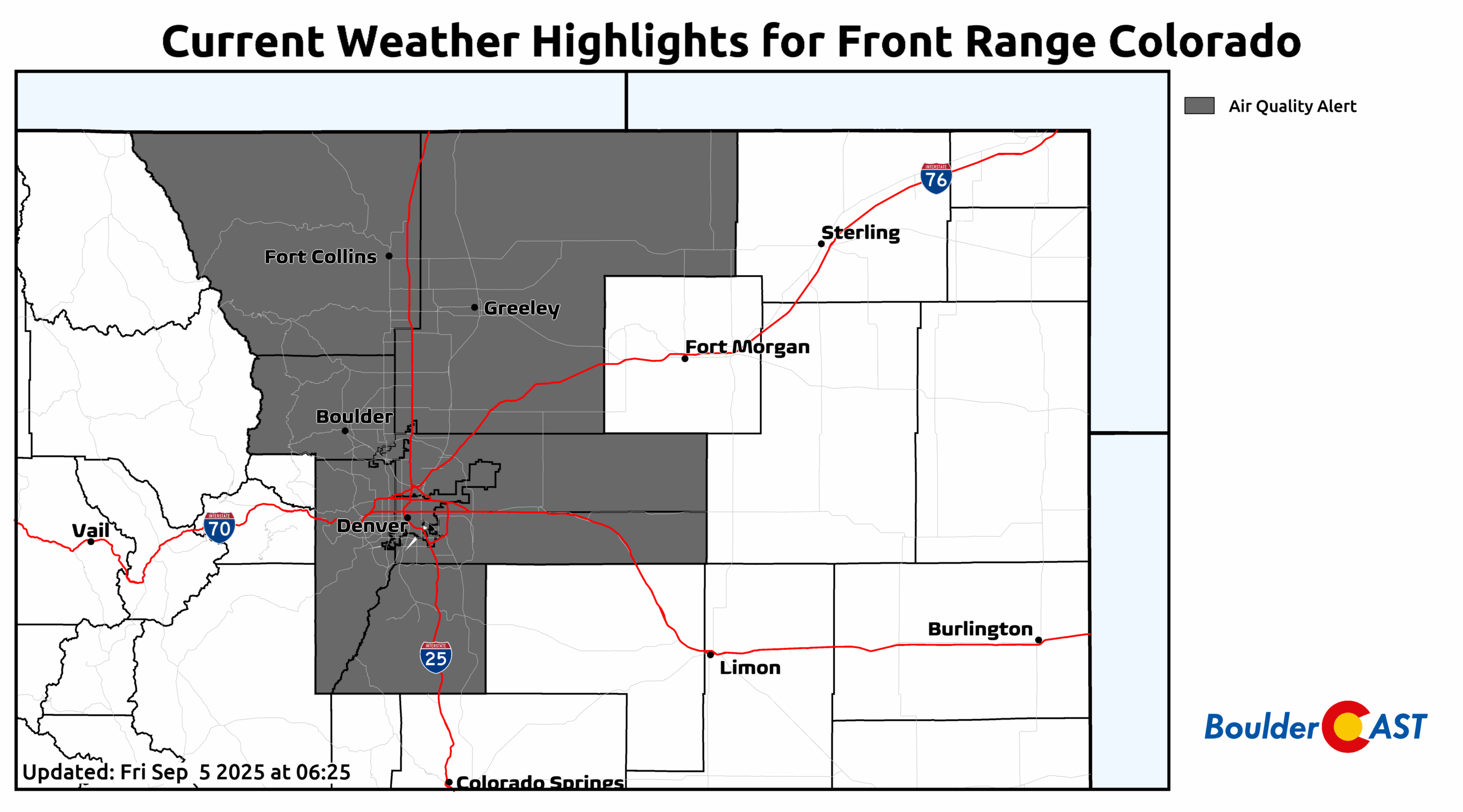
Yesterday's cold front brought a huge plume of wildfire smoke to the Front Range. This is quite evident in the animation below from the Boulder Fire and Rescue webcam. The smoke will linger today and an Air Quality Alert is in place through 4 pm. Those who are sensitive to these smoky skies are recommended to stay indoors due to …

BoulderCAST Daily – Wed 09/03/25 | Staying warm & sunny ahead of a smoky autumn cold front coming Thursday evening

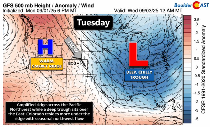
Not much change on tap for today. We’re still sitting under the influence of a stubborn high-pressure system parked to our west, which is keeping things quiet across the Front Range. A backdoor cold front is sliding south through eastern Colorado, but we’re right on the edge of it here — so the only real impact might be a subtle …

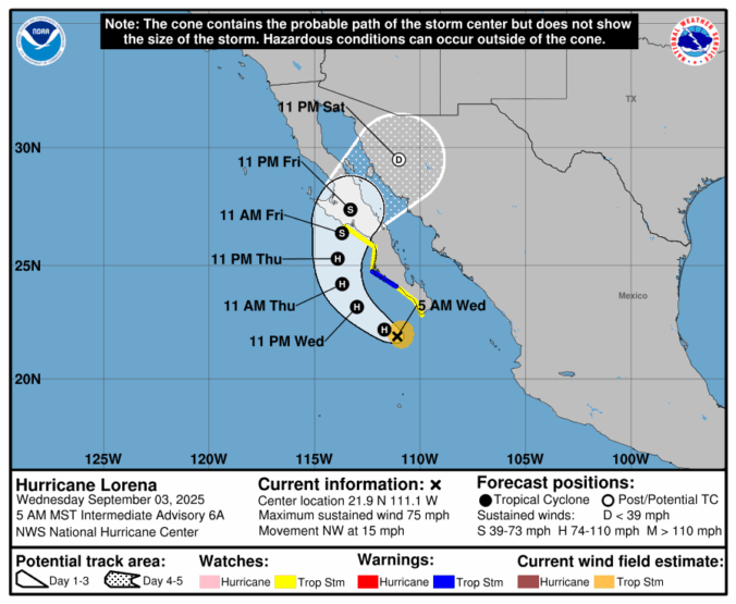
Premium BoulderCAST Daily – Tue 09/02/25 | Seasonal with a few isolated late-day storms; Tropical Depression 12E has formed in the Pacific

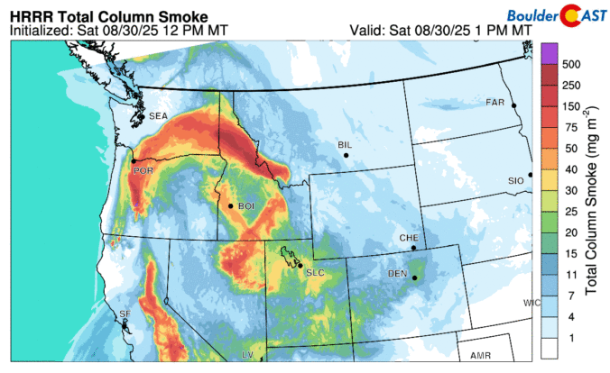
As the sun rises over Colorado, skies are mostly sunny statewide. But if you glance north on the GOES-East satellite imagery, you’ll spot that familiar milky haze creeping in — wildfire smoke from large blazes burning across the western U.S. and Canada. That smoke is expected to drift south into the Front Range over the next 24 to 48 hours. …

Premium BoulderCAST Daily – Sun 08/31/25 | Pleasant and quiet for our last day of August but watching for smoke

We close out August on the pleasant note with temperatures mainly hovering in the upper 70s. Our storm chances are largely nil as high pressure ridging over Utah edges slightly eastward to quash any chances. We cannot rule out a stray isolated shower over the Foothills, but these should not develop into anything notable. As we mentioned a few days …

Premium BoulderCAST Daily – Sat 08/30/25 | Scattered storms today but pleasant temperatures

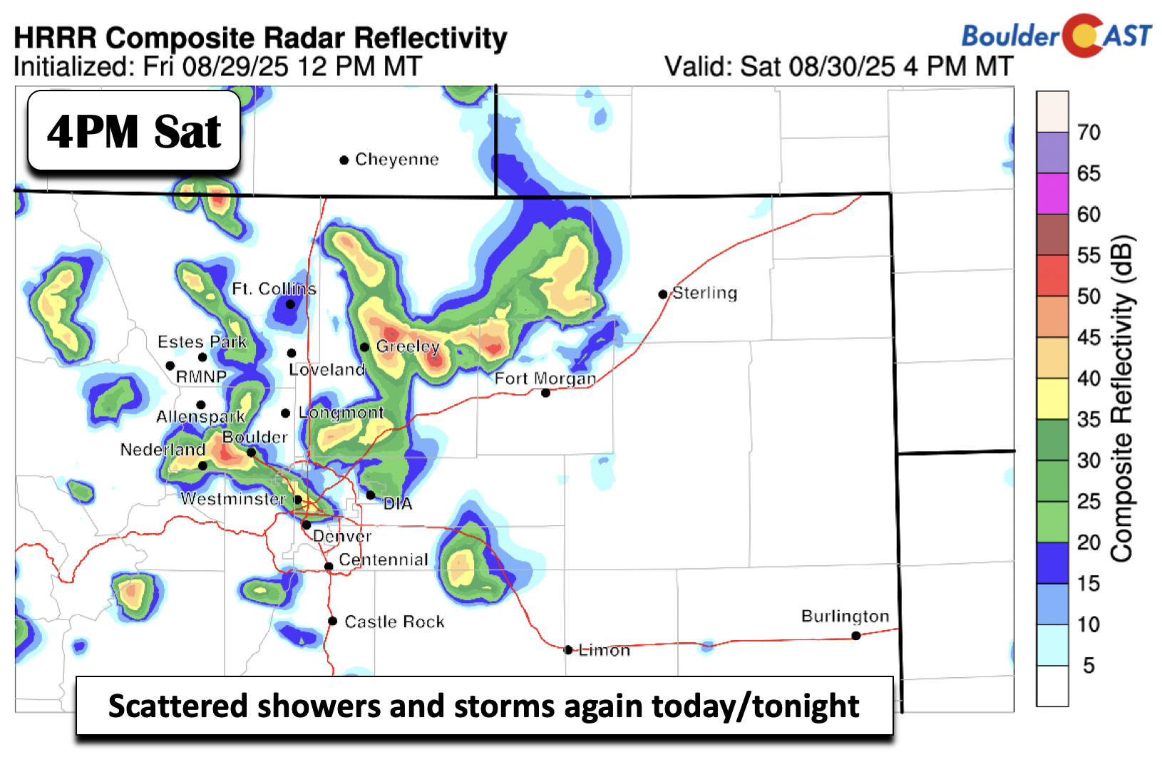
Several mid-level shortwaves will track east-southeast this afternoon and evening in the northwest flow. The active pattern will again favor the development of scattered showers and storms across the mountains, Foothills, and Plains. Several models, including the one below, show scattered storm develop in the typical time frame, mid-to-late afternoon and dissipating by mid to late evening. Storms are not …

Premium BoulderCAST Daily – Fri 08/29/25 | Scattered storms today & tomorrow with continued below normal temps

Rain chances dip a bit today, but honestly, it’s not going to feel much different than what we’ve seen all week. Expect a mix of sun and clouds through the morning, with skies turning grayer by early afternoon. Scattered storms will follow and linger well into the evening. The HRRR model is firing off quite a bit of activity after …

« Older posts Newer posts »