Category: BoulderCAST Daily (Page 24 of 465)

This page contains an index of our BoulderCAST Daily forecast updates. If you are NOT a Premium member, you will only see a tiny sample of this content below. Subscribe to BoulderCAST Premium to gain access to all of our daily forecasts which get published every morning.
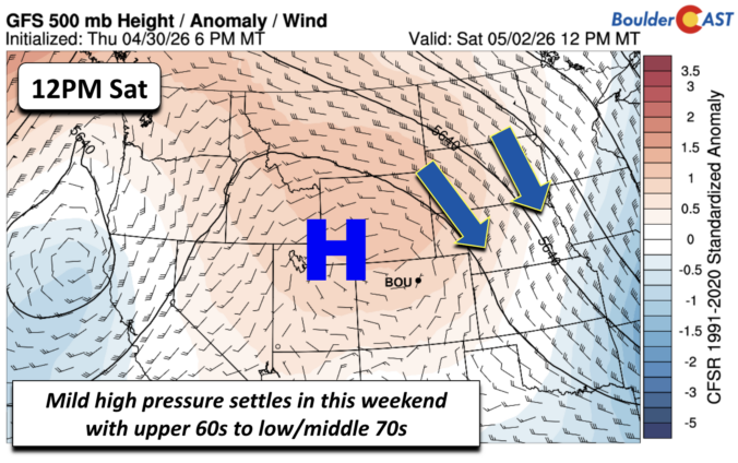
Premium BoulderCAST Daily – Sat 05/02/26 | A pleasant and warm first weekend in May

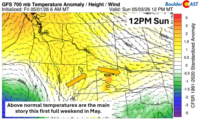
Get ready for a beautiful and warm first full weekend of May across the Front Range! Above-normal temperatures will be the main story for the Denver and Boulder areas over the next couple of days. Expect high temperatures to reach the upper 60s on Saturday, with even warmer air moving in to push highs into the middle 70s by Sunday …

Premium BoulderCAST Daily – Fri 05/01/26 | Warming up this weekend

Starting today, the Front Range is embracing a welcome warming trend that will make for a fantastic start to May. Friday features plenty of sunshine with temperatures climbing toward a high of 62°F in Boulder and similar values across the Denver metro area. Conditions will remain dry and pleasant through the afternoon, with only light winds and minimal cloud cover, …

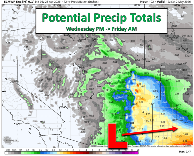
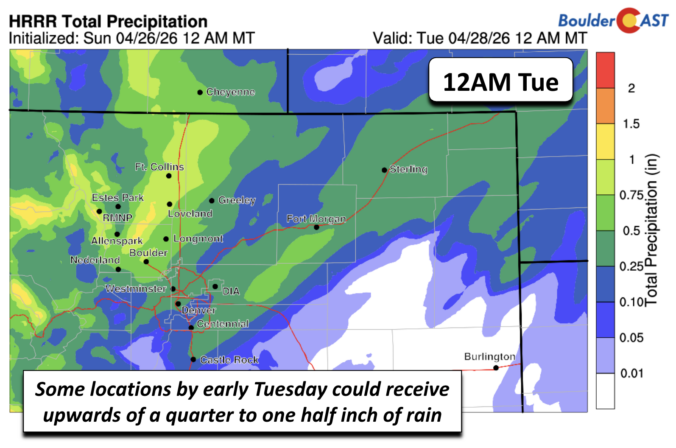
Premium Storm Update – Thu 04/30/26 8:00AM | A soggy Thursday with rain and Foothills snow, though totals have continued to trend down

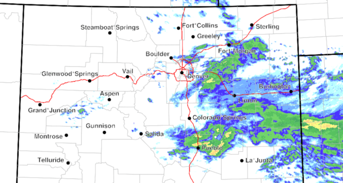
Rain is spreading across eastern Colorado this morning, with a broad, soggy setup still on track to bring rain and high‑elevation snow through the day to the Front Range. However, a continued southward shift in the storm track means precipitation totals around Denver and Boulder will likely fall short of earlier expectations. Nonetheless, a cool, gloomy day with plenty of showers still lies ahead, along with accumulating snow in the Foothills. Here’s the latest.
Continue reading

Premium BoulderCAST Daily – Tue 04/28/26 | Staying cool with a couple showers, the late-week storm is still the main event despite trending south

Moderate, moisture‑rich west–southwest flow is hammering into Colorado this morning, and GOES‑East water vapor imagery clearly highlights our second shortwave of the week racing toward the Front Range, now centered near Salt Lake City. That embedded disturbance will continue sliding east through the day, pushing east of Denver by early evening. As it departs, large‑scale ascent fades and rain chances …

Premium BoulderCAST Daily – Sun 04/26/26 | Showers and some storms later today and this evening

Aseries of systems in the middle part of the atmosphere will bring showers and even a few rumbles of thunder into the middle part of the upcoming week. All of this is being driven by a large parent trough over the Pacific Northwest, with embedded waves of energy around the southern tier of the trough axis. The first system arrives …

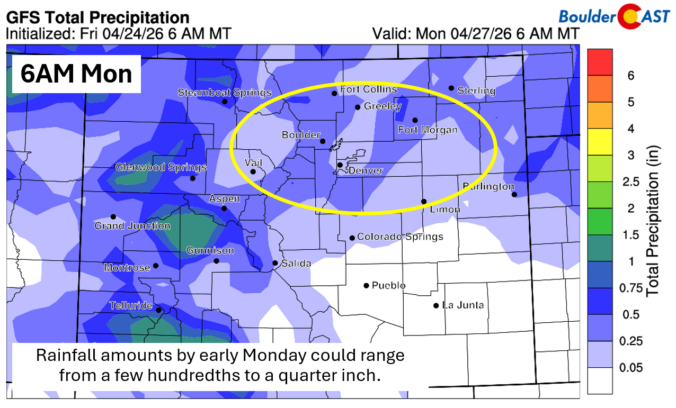
Premium BoulderCAST Daily – Sat 04/25/26 | Cooler today and wet Sunday into early next week

Acold front pushed through overnight last night into early this morning. A cool and moist east-northeasterly flow will be in place today after its passage and largely remain in place into the early part of next week. The front is notable on the map image below, where cooler (green/blue color shading) temperatures are across the Front Range and northeast Colorado. …

Premium BoulderCAST Daily – Fri 04/24/26 | Red Flag Conditions Ahead of a Wet Weekend

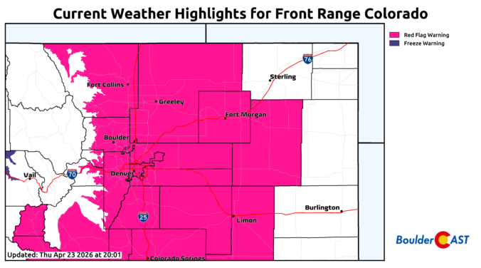
Red Flag Conditions are in place again today as dry downslope winds and very dry air dominate the Front Range. Much of the similar features from Thursday will be in place this afternoon and evening ahead of a cold front. Temperatures will top out in the lower 70s as easterly winds early shift around to west-southwest this afternoon. RH values …

« Older posts Newer posts »