Category: BoulderCAST Daily (Page 25 of 465)

This page contains an index of our BoulderCAST Daily forecast updates. If you are NOT a Premium member, you will only see a tiny sample of this content below. Subscribe to BoulderCAST Premium to gain access to all of our daily forecasts which get published every morning.
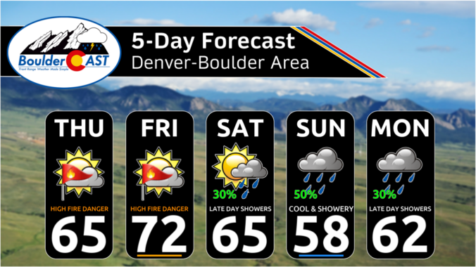
Premium This Weekend in Colorado Weather: Short-term fire concerns spike ahead of a wetter weekend

Despite the overnight cold frontal passage—and a roughly 20°F drop from yesterday’s lower‑80s highs—the synoptic‑scale pattern driving our weather remains largely unchanged. Critical fire‑weather conditions continue across eastern Colorado as very dry boundary‑layer air and persistent gusty winds remain in place. A weak mountain‑wave event is unfolding early this morning across the Foothills and adjacent cities. A swath of moderate …

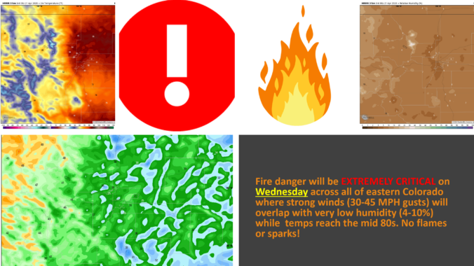
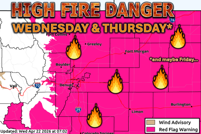
Premium BoulderCAST Daily – Wed 04/22/26 | The Front Range braces for back‑to‑back critical fire weather days

Critical to locally very critical fire danger will dominate the Front Range today and again tomorrow as an exceptionally dry downslope regime takes hold across our drought‑stressed state for the next 36+ hours. A disorganized trough is currently draped over the Pacific Northwest. This feature will lift east‑northeast through Thursday, keeping nearly all meaningful precipitation north of Colorado aside from …

Premium BoulderCAST Daily – Tue 04/21/26 | Quiet sunshine today, critical to locally extreme fire danger on Wednesday

Today delivers another warm, sunny, and remarkably quiet setup along the Front Range as we remain positioned beneath the stabilizing influence of a modest shortwave ridge axis. Colorado woke up essentially cloud‑free, and that largely pristine sky cover will persist through most of the daylight hours. The only real change arrives late: a narrow plume of upper‑level Pacific moisture, clearly …

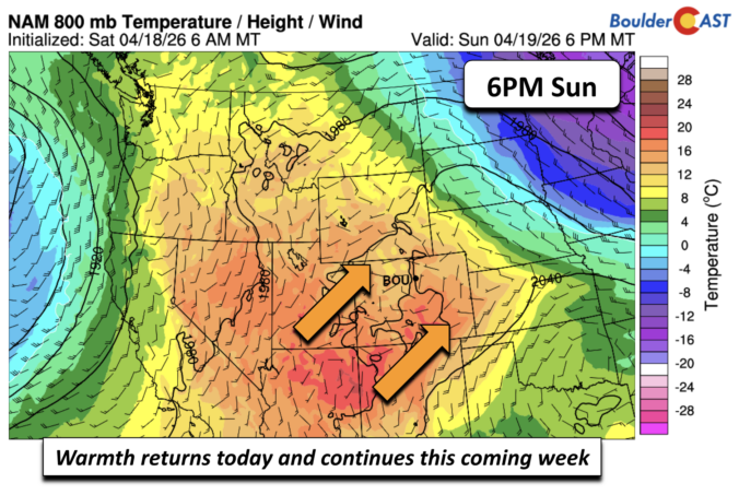
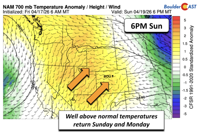
Premium BoulderCAST Daily – Sun 04/19/26 | A gorgeous Sunday and warm start to the week

Our Sunday ends on a warm note. The cold airmass firmly departs to our northeast today. In its place, warm southwest flow develops later this afternoon. Our highs will top out close to the lower 70s. The warmth does not stop there. To start our upcoming workweek, the warm flow will continue to be enhanced by a developing system currently …

Premium BoulderCAST Daily – Sat 04/18/26 | Trending warmer this weekend, but still some chilly mornings

The cold airmass that brought us snow on Friday is on its way out. The cold temperatures will be sliding east this afternoon and evening, moving off into the Plains and Midwest. As that happens, we should see a pleasant warmup starting today but culminating tomorrow and early next week. Because there is some snow on the ground and the …

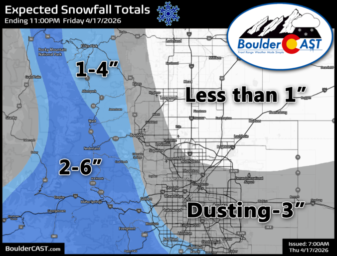
Premium BoulderCAST Daily – Fri 04/17/26 | Snow to end our work week, but amounts on the low end

The Snow Arrives this Morning A cold front will push through this morning, ushering in much colder temperatures, a period of upslope, and snowfall. A system overhead will supply the lift and moisture, while the upslope flow at the surface fuel the expected light to moderate snowfall. Snow is expected to develop during the morning, between 8 and 11 AM. …

Premium BoulderCAST Daily – Wed 04/15/26 | Quiet Today, Fire Danger Tomorrow, Then Snow Friday

Our first storm system of the week is now exiting Colorado and lifting into the Midwest, leaving behind only a few straggling rain showers on the far Eastern Plains and pockets of very light snow clinging to the Continental Divide. Winter Park tells the real story of where the moisture actually went—just over 8 inches of new snow in the …

« Older posts Newer posts »