Over the last few days, weather models have shifted a few degrees warmer for the incoming spring storm. We discuss the implications and provide our preliminary snowfall forecast map.
Author: BoulderCAST Team (Page 47 of 48)
This post had major contributions from at least two members of our team. The more meteorologists the better, right?
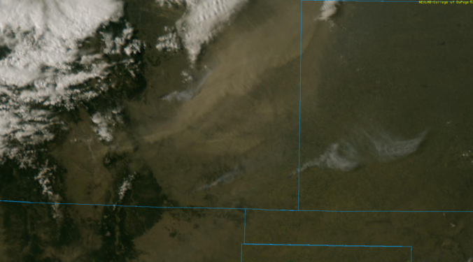
Several favorable atmospheric components aligned to produce very strong winds across the Metro area Tuesday afternoon and evening. We look at the peak wind gusts and also check out the view from the space borne GOES-16 weather satellite.

It’s hard to believe that it has been three full-years since we began the BoulderCAST journey. We’ve come a long way since, transitioning from an idea envisioned by a few CU-Boulder grad students and alumni…to becoming a leader in Boulder and Denver weather that members of our community depend on today. While an anniversary is a great time to reflect on what we have accomplished already, we’re also looking ahead to the future.
.
Please celebrate with us: Use the promo code THREE to save 33% on an annual membership to BoulderCAST. This special sale ends Friday April 20th at 11:59 PM Mountain Time.
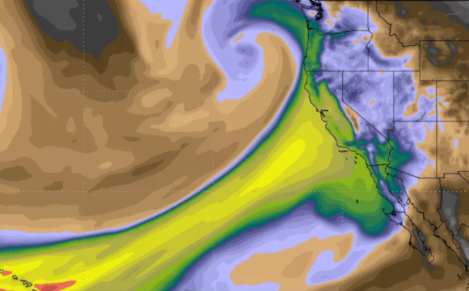
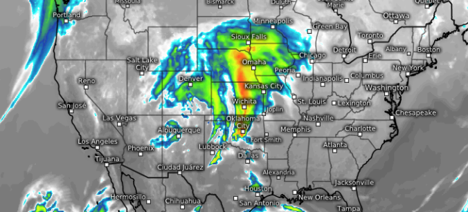
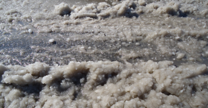
The Pineapple Express was back at it again this past weekend. Another round of soaking rain struck California, with all that tropical moisture translating into heavy mountain snow across northern Colorado.
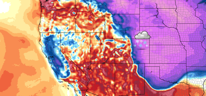
Following a relatively quiet stretch of weather, things are about to take a cold and snowy turn for the Metro area on Friday as a strong cold front moves into the region. Read our complete forecast covering the timing of those chilly temperatures and potential snow amounts.
Premium Storm Update (Fri April 6 at 12:30 PM) April snow and VERY cold temperatures have arrived: READ NOW
A quick round-up of precipitation and snow totals from Wednesday’s over-producing winter event.
Monday evening’s wet snow brings us closer to normal precipitation for the month of March. We review the snow totals from across the region and discuss our next chance of snow.
We have gotten numerous requests to streamline your ability to monitor upcoming winter weather. To answer this call, we’d like to introduce you to SnowTracker, a new hub that consolidates a wealth of weather information related to forecasting and tracking Mother Nature’s most wintry moments. SnowTracker acts as a focal point to keep an eye on developing winter storms for Colorado and what is already on the ground.
Available information includes…
- Models snowfall forecast maps from the GFS and NAM
- Ensemble forecasts, including our Snowfall Probability Charts
- A quick glance at the latest PowderCAST forecasts for all the Colorado ski resorts
- Current weather conditions, live radar, and more than a dozen live webcams from across the region
- Daily snow observations and cumulative seasonal snow totals for Boulder and Denver
- Current snowpack and drought coverage for Colorado
SnowTracker will be seasonally available on BoulderCAST during the months of September through May. Please do enjoy!
.

Live View of Boulder

Current Conditions

Live Radar

Recent Premium Posts

BoulderCAST Daily – Thu 06/25/26 | On-and-Off Showers and Storms with a Lower Severe Threat
🌩️ Severe setup today but overall threat is much lower than past few …
BoulderCAST Daily – Wed 06/24/26 | Another Day of Severe Weather
🌩️ Severe setup once again today with the threat of very large hail …
BoulderCAST Daily – Tue 06/23/26 | High‑End Hail Threat Targets the Denver Area, with the Risk Lingering into the Overnight
🌩️ Severe setup persists with upslope + strong westerlies aloft + copious moisture/instability …
3-Day Forecast

Trending Content

© 2026 Front Range Weather, LLC