Author: Ben Castellani (Page 80 of 358)

Ben grew up in southwestern Pennsylvania and holds both a bachelor's and a master's degree in Meteorology, the latter being from CU Boulder. His hometown received nearly three feet of snow from the Storm of the Century back in March of 1993, sparking his initial interest in impactful weather. Ben currently works on remote sensing and data analysis software at NV5 Geospatial Software in Boulder.

Winter Weather Update: Snow arrives late Thanksgiving Day into Friday, heaviest in Boulder and the Foothills

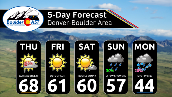
The day of giving thanks and eating delicious food is nearly upon us, and whether you are ready or not, so too are the snowflakes which will make a return to the entire Front Range beginning Thursday afternoon and evening with snowflakes staying in the forecast into Saturday. Temperatures will also plummet well below freezing the next few days. We discuss the timing of the snow, the expected snowfall totals for everyone and when travel may be most impacted.

Update (Thu 11/23 7AM): Ensembles have cut back on snow amounts by about 20%, so we’ve decreased snow amounts accordingly. The biggest snow totals from this storm are still expected to be around Boulder, with much lower impacts elsewhere in the Metro area.
Continue reading

Premium BoulderCAST Daily – Wed 11/22/23 | One last warm day before cold & snow spread into the area on Thanksgiving

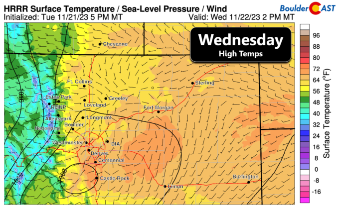
Today will be the last really nice day across the Front Range before we slump into a chilly pattern throughout the holiday weekend. The last of the warmth will unfold with sunny skies and light winds for our Wednesday. Most of us will top out in the 60s for highs, though some lower 70s may be possible on the south …

Premium BoulderCAST Daily – Tue 11/21/23 | A pair of nice days ahead, but winter returns Thanksgiving night

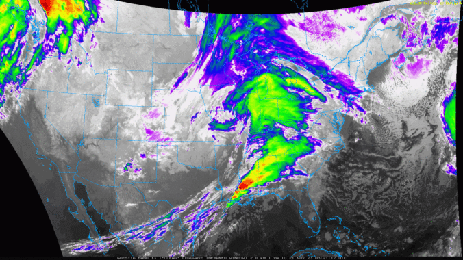
Yesterday's big, windy storm is long gone already this morning, now located in the Great Lakes region. High pressure is working in behind this departing storm with skies having fully cleared overnight back across all of Colorado. In fact, clear skies are noted across much of the West, which is of course thanks to an expansive ridge growing into the …

Premium This Weekend in Colorado Weather: Gusty winds and continued warmth, but eventually we’ll see a dash of rain/snow

Skies are mostly cloudy out there this morning as high clouds stream into Colorado from the southwest, with a mixture of wave clouds sprinkled in as well. The GOES-East nighttime satellite animation is shown below with lots of clouds noted over the region. With this cloud cover and downslope gusts , we have yet another mild morning for most of …

Premium BoulderCAST Daily – Wed 11/15/23 | Back into the upper 60s today, but slight changes are coming tomorrow

Very little change occurs in our weather today as a weak ridge remains over the area with west-southwest flow aloft over Colorado. The NAM 500mb vorticity forecast animation below runs from this morning into Thursday night. It shows the ridging in place today, but also two different pieces of energy that will be converging on us tomorrow --- one from …

Premium BoulderCAST Daily – Tue 11/14/23 | A mild morning under a wave cloud, then sunny with upper 60s

Temperatures are starting out very mild this morning in most of the Metro area. Here in Boulder, we have a reading of 54°F already as of 6:30AM. However, there is quite a spread out there from the middle 30s in eastern Longmont to the middle 50s near the base of the Foothills. The warmth is being aided by weak downslope …

« Older posts Newer posts »