Author: Ben Castellani (Page 79 of 358)

Ben grew up in southwestern Pennsylvania and holds both a bachelor's and a master's degree in Meteorology, the latter being from CU Boulder. His hometown received nearly three feet of snow from the Storm of the Century back in March of 1993, sparking his initial interest in impactful weather. Ben currently works on remote sensing and data analysis software at NV5 Geospatial Software in Boulder.

Premium BoulderCAST Daily – Wed 12/06/23 | Record highs possible Wednesday, extreme winds in the Foothills Thursday, and cold/snow for all on Friday

Yesterday's high temperatures soared several degrees above model guidance across the Front Range with mid to upper 60s observed in southern Denver, but 50s further north from Longmont to Fort Collins. Temperatures are expected to be even warmer out there today as the airmass bakes a few more degrees as the strong ridge of high pressure lingers directly over Colorado …

Premium BoulderCAST Daily – Tue 12/05/23 | The windy jet has exited leaving behind a few days of calm weather; Friday’s snow amounts trending up

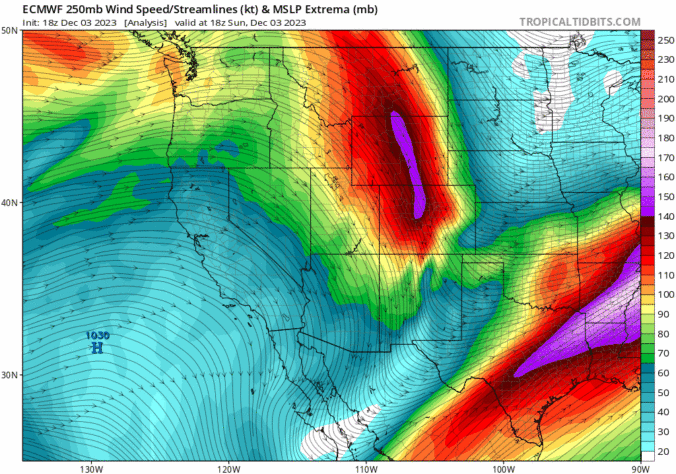
The pesky jet stream which has been lingering over Colorado the last several days has finally migrated eastward and away from our area. The jet stream-level wind forecast animation below shows us the big ridge of high pressure entering the region from the west in the wake of the jet. This ridge will lead to veritably pleasant conditions across the …

This Week in Colorado Weather: December 4, 2023

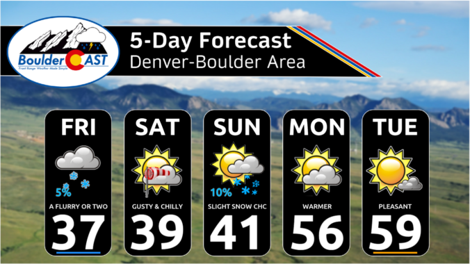
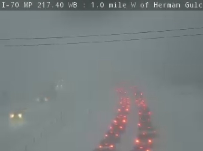
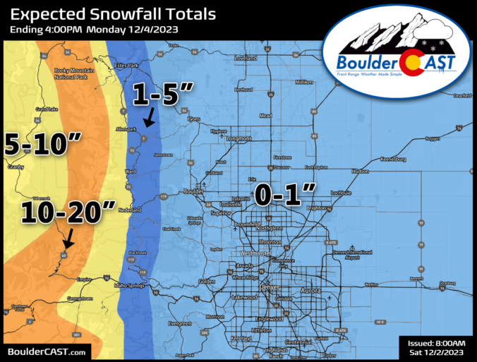
Most of the week ahead in the Front Range will feature dry weather with well above normal temperatures for early December. However, we are closely tracking our next storm system set to arrive on Friday with much colder temperatures returning alongside a good chance of snowflakes. Read on for the latest details on what should be yet another spirited week in Colorado weather!
Continue reading

Premium BoulderCAST Daily – Sun 12/03/23 | Brief AM snow showers, but we turn sunny (and windy!) by afternoon

Overnight downslope wind gusts topped 70 MPH in the Foothills and within the city of Boulder, with greater than 35 MPH gusts reported elsewhere across most of the FrontRange. The strongest gusts, approaching hurricane force, only lasted for about two hours from 9PM to 11PM on Saturday. It was blustery the rest of the day, though. Winds will be a …

Premium BoulderCAST Daily – Sat 12/02/23 | Up to 20″ of snow in the Mountains this weekend & strong downslope winds (and some snow) for the Metro area

Weather concerns across our region remain two-fold today --- coming in the form of heavy Mountain snow along/west of the Divide as well as gusty downslope winds to the east in the Foothills and Denver Metro area. A broad trough of low pressure sits over the Rockies right now with light to moderate snow already falling in the Mountains. As …

Premium This Weekend in Colorado Weather: Widespread Mountain snow, but staying mostly dry with some wind for the lower elevations

Yet another chilly day is on tap for the Front Range as a cool airmass lingers over the area and actually gets reinforced by an approaching trough later tonight. This trough is visible on the GOES-East satellite animation below from early this morning with its axis back across Utah and Arizona. Moist southwest flow ahead of this trough is producing …

Premium Storm Update – Thu 11/23/23 6:00PM | Snow has begun…

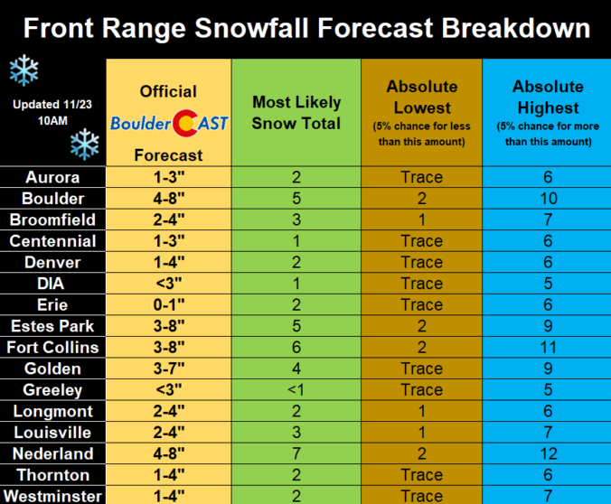
Snow is just starting now across the northwestern Metro area, as seen in the current radar animation below, just a tad behind schedule. We saw the first flurries in Boulder around 6PM. If you missed our social media updates from early this morning, be aware that we did revise our overall snowfall forecast downward just a tad to align more …

« Older posts Newer posts »