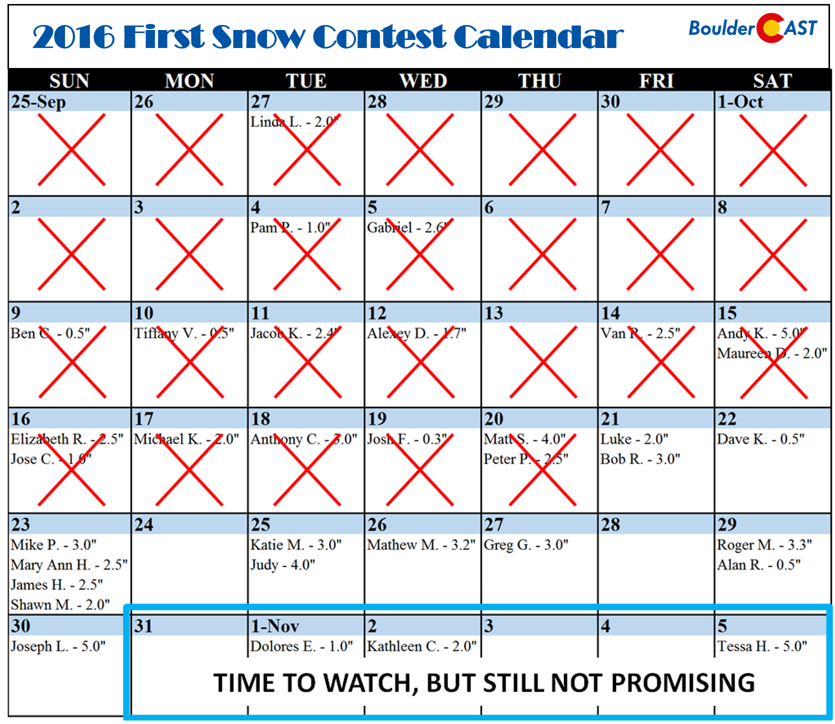
Do you know what today is? If you’re thinking October 20th, while correct, you’re missing the more important point. Today is the climatological median date of Boulder’s first measurable snowfall! This means that exactly half of the time, the season’s first snow occurs before this date, while half of the time it occurs after. While we understand you’re disappointed to know that 2016 is officially in the bottom half of our climatology percentiles, fear not. The odds of our first snow remaining at-large is decreasing every day! We discuss where the snow has been this year, and what lies ahead as we close out the month of October.
A Warm and Dry October
Since our “First Snow” contest closed to entries back on September 18th, we’ve barely had any precipitation, let alone temperatures cold enough to actually support snowfall during the few instances of rain we did get. It’s been one toasty October (see below). We should be used to it…above normal temperatures have dominated in Denver since early June.
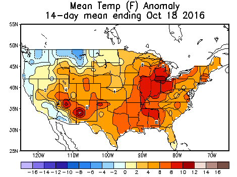
Mean temperature departure from normal over the last two weeks. Warm everywhere, and ~6 degrees above normal in the Front Range
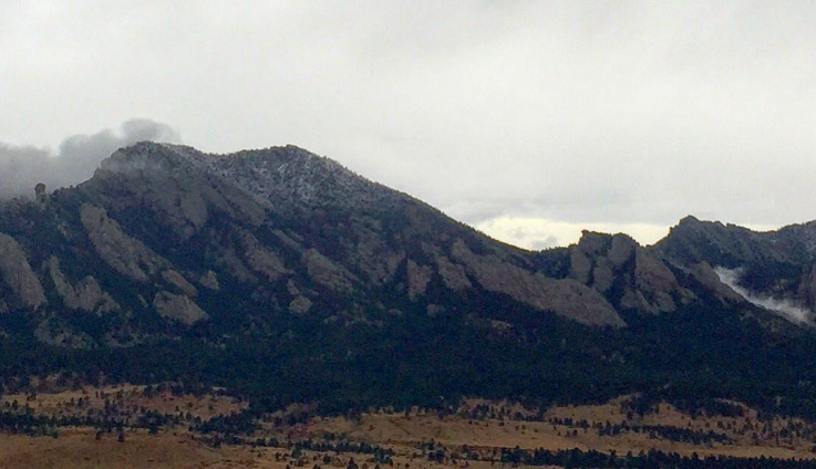
Despite all that warmth, there was still one close-call, back on October 6th, when a weak weather system brought a dusting of accumulating snow down to around 7,000 feet elevation, just enough for the top-third of Green Mountain and Bear Peak west of Boulder to momentarily don some white.
Most of the Foothills region received their first measurable snow this day, but temperatures were just too warm on the Plains to say the same. Though, in some of the heavier rain showers that moved through the Metro Area, frozen precipitation was reported. Multiple folks observed wet snowflakes or ice pellets falling alongside rain in Gunbarrel, Superior, and South Boulder. Boulder’s official station did not see any frozen precipitation, nor did DIA.
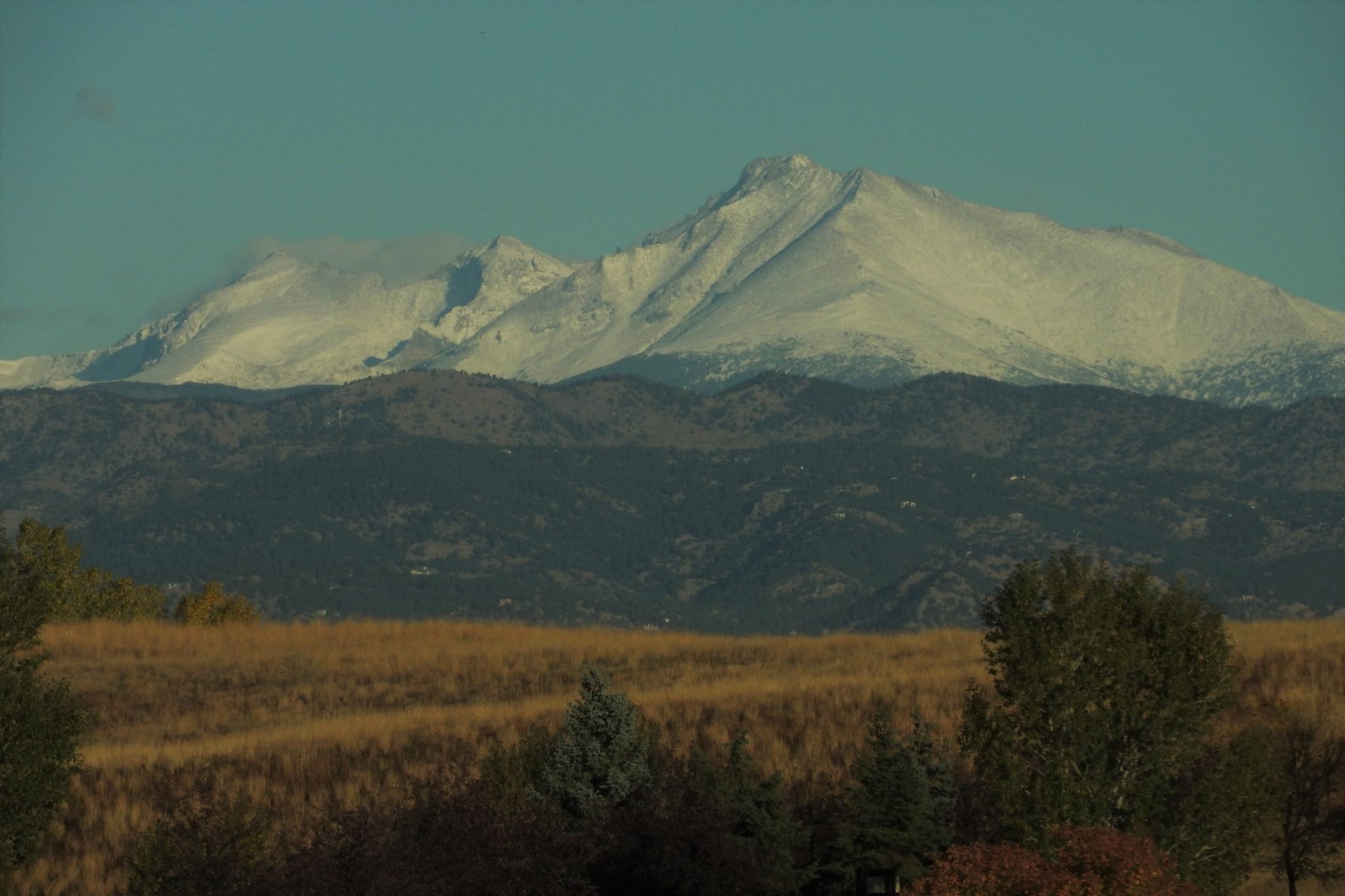
Despite the lack of snow down low, the Mountains have done alright, with snow-dusted peaks being a common occurrence for weeks now. Not to be outdone, it’s been cold enough for most of the ski resorts to begin filling some of their slopes with fake snow. And if you didn’t hear, Arapahoe Basin kicks-off Colorado’s ski season in just over 12 hours!
Where does this leave us for the potential for our first snow?
It’s not looking overly promising through the end of October. This time of year, the atmosphere isn’t quite cold enough to guarantee snow in Denver yet. We need at least a couple of Mother Nature’s stars to partially align. At minimum, we want to see a medium-strength trough, and definitely not any type of ridge or zonal flow. Unfortunately, the GFS, Euro, and Canadian (shown below) ensembles all have major ridging governing our weather for the next 10 to 14 days. Under this scenario, we are on pace to close out the month on a warm (and likely dry) note, possibly historically so. We’re currently on pace for October 2016 to land in the top ten warmest on record, maybe top five.
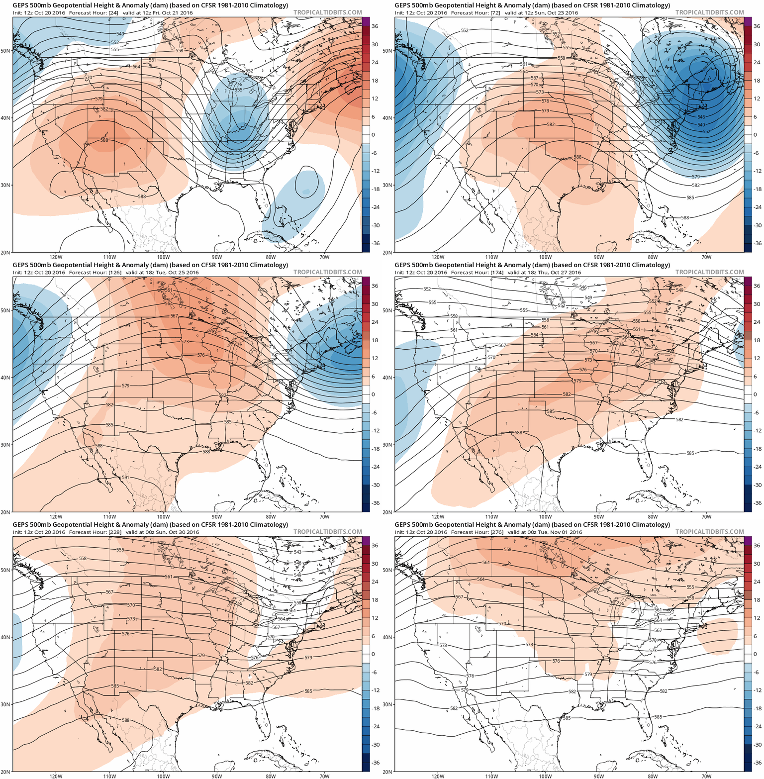
500 mb height anomaly from the GFS ensemble model. Lots of red (ridging) through the end of October is not favorable for any snow in Denver
The Climate Prediction Center’s experimental medium-range forecasts below show high odds of above normal temperatures beyond next week into early November (>60%).

Climate Prediction Center’s temperature outlooks for Oct 26-30 (left) and Oct 28-Nov 3 (right). You can see that there are high probabilities of above normal temperatures for Colorado
We’re quite confident in this ridging for the next week, with lessened confidence toward the end of the month. Around the timeframe of Halloween, there are slight signs, particularly from the European model, that some troughing could work its way into the western United States. That far out, even tiny hints in the models can turn into something significant. As always, time will tell. Based on everyone’s entries from the contest, we reckon it’s going to be mighty hard to beat Tessa H!
On the immediate horizon, expect another incredible weekend! Highs will be in the 70’s Friday through Sunday with loads of blue sky. Enjoy!




You must be logged in to post a comment.