The week begins warm and sunny, but don’t be fooled as an autumn cold front is looming. Our coldest day in more than four months is developing for Tuesday alongside low clouds and drizzle. However, the end of the week will see above normal temperatures return.
DISCLAIMER: This weekly outlook forecast is created Monday morning and covers the entire upcoming week. Accuracy will decrease as the week progresses as this post is NOT updated. To receive daily updated forecasts from our team, subscribe to BoulderCAST Premium.
Monday: Another day in the warm sector
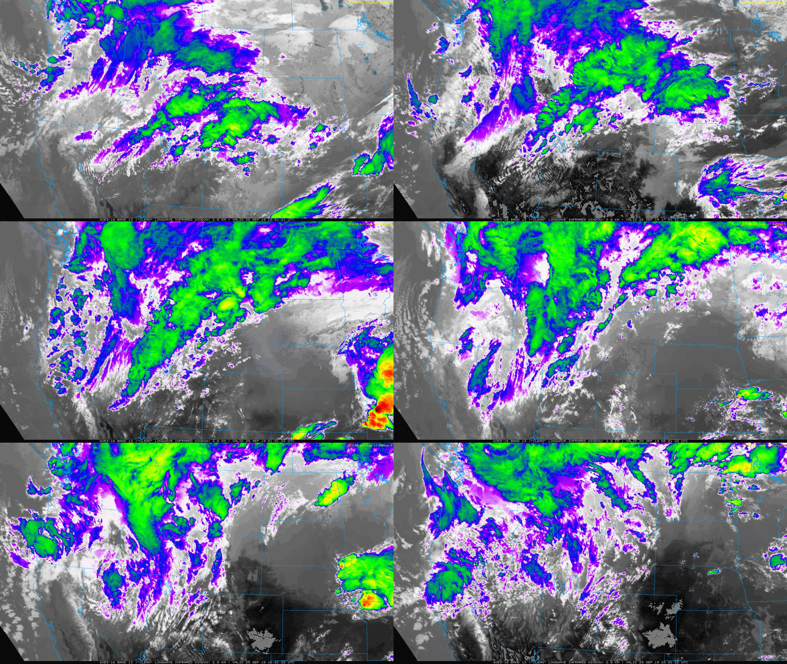
The historic winter storm that has been pummeling Montana with heavy snow all weekend long is finally winding down this morning as winds on the backside of the storm turn westerly. Just like in our neck of the woods, these drier downslope winds signal the death of the snowstorm for the area.
Northwestern Montana snow reports are not nearly as comprehensive as what we get around Denver. The population of the area most devastated is rather sparse. However, what little observations we have show that up to 50″ of snow has fallen around Glacier National Park. Nearly 20″ of snow was reported in the city of Great Falls, the home of the local NWS office. Travel has been deemed impossible on some roadways and many lower elevation areas (such as Great Falls at 3,300 feet) still had considerable leafage on the trees which caused major power outages. This storm is one to remember!
In any case, Colorado has until now remained in the warm sector of storm. Trailing the strong low pressure to our north is a slow-moving cold front. It hasn’t made much progress in the last few days, and still won’t fully push into the Front Range until Monday evening. Thus, the beautiful weather of the weekend will spill into our Monday as well. Expect sunny skies with highs in the mid to upper 70’s for Monday.
As we saw yesterday and it will be the case again today, the tight pressure gradient between the approaching trough and well-developed ridge in the southeast United States will spur on gusty southwesterly winds across much of Colorado this afternoon. The strongest winds will be across southern and southeast portions of the state where Red Flag Warnings are in effect. The Metro area is in a more stable environment such that strong winds won’t mix down much at all.

HRRR surface wind gust forecast for Monday afternoon. Breezy conditions possible for much of the state, though the Front Range may be safe.
As noted earlier, a cold front will be moving into the Front Range Monday evening from the north. We should begin to see the leading edge of the cooler air move through between 4:00 PM and 8:00 PM this evening.

NAM 800 mb temperature and wind forecast for midnight Monday night showing the position of the cold front
All the weather models have enough low-level moisture behind this front to produce fog and drizzle during the overnight hours in the Denver area and especially the Boulder area. Rainfall will be light overall, but those in and near the the Foothills are most likely to see the prolonged light rain and drizzle add-up.

HRRR total forecast precipitation through Tuesday at 12PM. Upslope will focus light rain/drizzle in and near the Foothills.
Tuesday: Our coldest day in more than four months
Following the passage of the cold front Monday night, Tuesday will be a chilly and gloomy autumn day in the Metro area. Low-clouds, fog and drizzle will linger during the morning hours with shallow upslope holding. It’s unclear at this point if skies will be able to clear out by afternoon or not. For sure the western suburbs will hang on to the gloom the longest, likely keeping highs from making it too far into the 50’s. Areas east of Interstate 25 could see some peaks of sunshine and thus warm further into the upper 50’s to near 60 degrees. For most of us, though, Tuesday will be our coldest day since May 23rd.

NAM forecast surface temperature anomalies on Tuesday. Unseasonably cold air is evident across eastern Colorado.
Wednesday: Continued cool
Wednesday’s large-scale weather set-up will be quite similar to Tuesday with shallow upslope remaining across the Metro area in the morning. Once again, low clouds and drizzle are possible Tuesday night into early Wednesday. The upslope won’t be as strong or moist, so we suspect more sunshine will work into the area during second half of the day, even if we begin gloomy in the morning hours. Finally the main trough axis will push across Colorado during the afternoon. Once this happens, skies should clear quickly with sinking and drier air filtering into the area from the northwest. Wednesday will see highs in the low to middle 60’s with decreasing clouds.

GFS 500 mb height and vorticity forecast map for Wednesday afternoon. A trough axis is moving across Colorado
Late week: Sunny with a warming trend
As the trough responsible for the Montana snowstorm and our gloomy mid-week shifts eastward, we transition into a quieter weather pattern late in the week. A weak ridge axis will pass across Colorado on Thursday allowing for a nice rebound in temperatures. This same set-up will persist into Friday as well. Temperatures on Thursday will be in the low to middle 70’s with upper 70’s on Friday. Both days will have abundant sunshine. Though the chance is rather small it seems, out-lying areas may see temperatures dip into the mid to upper 30’s Thursday morning, potentially offering the first frost of the season.
A small and quick-moving trough is set to enter the Pacific Northwest on Thursday (see above). Models generally show this minor feature moving across Wyoming on Saturday. In all likelihood, it will push a weak cold front into northeast Colorado sometime late Friday night or Saturday. We’re not seeing much in the way of moisture with this system, so probably we’ll remain dry overall with temperatures falling back towards seasonal normals this weekend…near 70 degrees.

GFS 800 mb temperature and wind forecast for Friday evening. Warm in Colorado, but a cold front is quickly dropping south through Wyoming.
Have a great week and take advantage of sporadic bouts of pleasant weather ahead!
Forecast Specifics:
Monday: Sunny and mild through the day. A cold front will push in during the evening, with fog and drizzle developing before midnight and continuing through the overnight hours. Expect daytime highs in the mid to upper 70’s across the Plains, and in the upper 60’s in the Foothills.
Tuesday: Much cooler and gloomy with low clouds and drizzle possible through the morning for everyone, but lingering in the western suburbs through most of the day. Highs in the low to middle 50’s across the Plains and upper 40’s in the Foothills.
Wednesday: Continued cool with morning low clouds/drizzle clearing to mostly sunny skies by afternoon. High temperatures in the low to middle 60’s on the Plains and middle 50’s in the Foothills.
Thursday: After a cool morning (upper 30’s!), sunshine and sunny skies are in store. Highs in the low to middle 70’s on the Plains and lower 60’s in the Foothills.
Friday: Mostly sunny and warmer with highs in the upper 70’s on the Plains with middle 60’s in the Foothills.
Weekend: Slightly cooler but overall dry with highs near seasonal normals in the upper 60’s to lower 70’s.
High Country: The jet stream will be directly overhead Monday through Wednesday with very blustery conditions in the Mountains during this time. Areas above treeline can expect frequent gusts in excess of 45 MPH. Dew points will be low enough that fire weather conditions will be present through Wednesday. The forests are very dry so please, be careful and heed all active fire bans. The winds relax for Thursday and Friday with sunshine taking hold and continued warm temperatures. Visit our SummitCAST page for updated forecasts for more than 120 Colorado mountain destinations, including all of our state’s majestic 14ers.
Spread the word, share our forecast!


You must be logged in to post a comment.