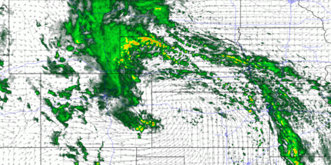
Read our brief recap of Thursday’s rain, snow and lightning. We also discuss our thoughts on a potential wintry event Sunday into Monday.


Read our brief recap of Thursday’s rain, snow and lightning. We also discuss our thoughts on a potential wintry event Sunday into Monday.
Don’t let the sunny skies Friday morning fool you. Similar to the snowfall event on President’s Day, atmospheric components will briefly align this evening for banded snowfall to once again form across the Front Range. The Northwest Metro area appears to be favored again by the models, including Boulder, Louisville, Longmont, and Broomfield.
Just as forecast, the overhead jet stream delivered heavy banded snowfall to the Boulder area Monday evening. We review the evolution of the storm and discuss the snow totals from across the region.
Happy President’s Day! A winter storm is impacting northern Colorado with snow and much colder temperatures today through Wednesday. Models are latching onto a track the will produce a sharp gradient in snow amounts across the Denver Metro area. Read on for our full forecast.
Our forecast for the holiday weekend covers two separate wind storms, very warm weather across the Plains, and President’s Day snowfall.
We’re tracking two wintry systems for the week ahead. The first one will mainly impact the higher elevations on Monday. The second one is scheduled to arrive on Thursday with perhaps better chances for snow across the Denver Metro area. Read on as we detail for the forecast for the next five days.
A mix bag of wintry weather will be present across the Metro area through Saturday evening. Read on as we discuss how things will play out and provide our snowfall forecast for Saturday.
Premium Storm Update (Mon Feb 5 at 1:30 PM) Ensembles are out to lunch for tonight’s snow! We provide a brief storm update along with a discussion on why the ensemble model runs are worthless for this particular wintry event. READ NOW
—
This week will see rain changing to snow Monday evening. We have included our official snowfall forecast map. We’ll then see a significant warming trend through the rest of the week as a lee trough develops, with the potential for more snowfall during the upcoming weekend.
© 2026 Front Range Weather, LLC