

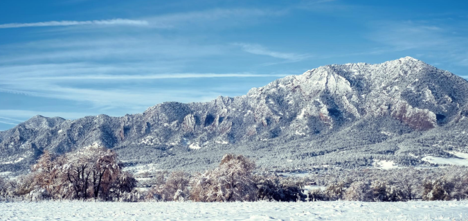
As snow begins to fall, we provide our final thoughts on snow showers that will linger through the day today and into Friday, making for slick travel at times. Snowfall map included.
Tag: cowx (Page 5 of 21)
As one would expect during the month of January, our driest month of the year, this week will be relatively quiet across the Front Range. We’re tracking continued Mountain snowfall early in the week, and with a large trough moving in, cooler temperatures will linger statewide through the weekend. Continue reading for our complete weekly outlook.
We start this week on the cold and snowy side with an area of low pressure off to our east in Kansas. However, a welcomed ridge of high pressure will take over through much of the remainder of the week and lead to a really nice warm-up. We’re also tracking the potential for a more active weather pattern towards the weekend. Read on for all the details of the weather week ahead.
Compared to last week, the week ahead will feel like spring has sprung, at least if you stay below about 9,000 feet! Southwesterly flow will produce heavy mountain snow through Wednesday, alongside moderating temperatures for the lower elevations. We’re also tracking the potential for a couple nasty wind storms. Read on for our complete outlook of the upcoming week.

Following month after month of dry and warm weather, December finally turned the tide and brought colder and snowier conditions to the region. Will January continue the trend? Read on as we examine Boulder’s climatology and consider the current state of the atmosphere to give our outlook for the next month.

Get ready for a cold week! After relatively mild temperatures to end 2016, we’ll see the return of the winter chill along with chances for snow in the first week of the New Year. The mountains can expect to see FEET of snow throughout the week, while snow possibilities on the Plains are less and shrouded in a bit of late-week uncertainty. How cold will it get and what can we expect in terms of snow? Read on for our full forecast.
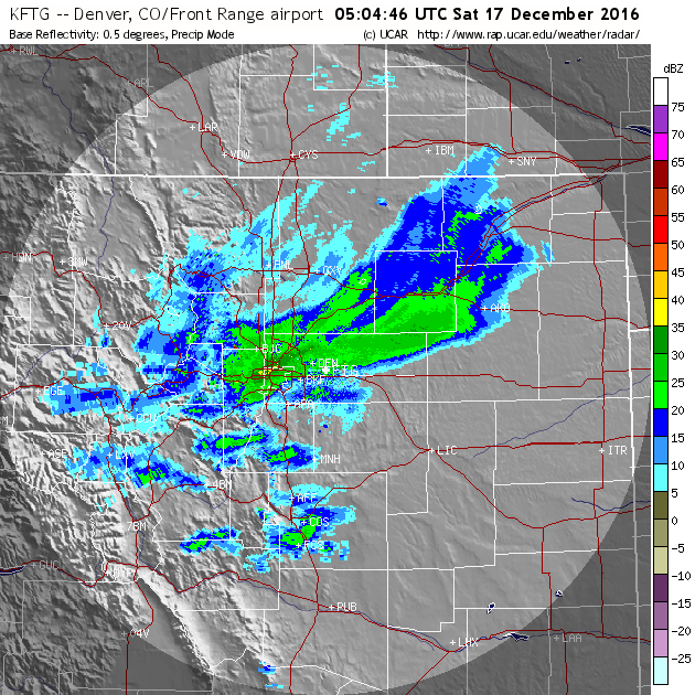
Thanks to a stationary band of heavy snow Friday night, many of you may have awoken to more snow than expected. We explain what happened overnight to produce 5-10″ of snow in parts of the Denver Metro area and also detail when we expect the Arctic chill to retreat.
Current Conditions
Live Radar
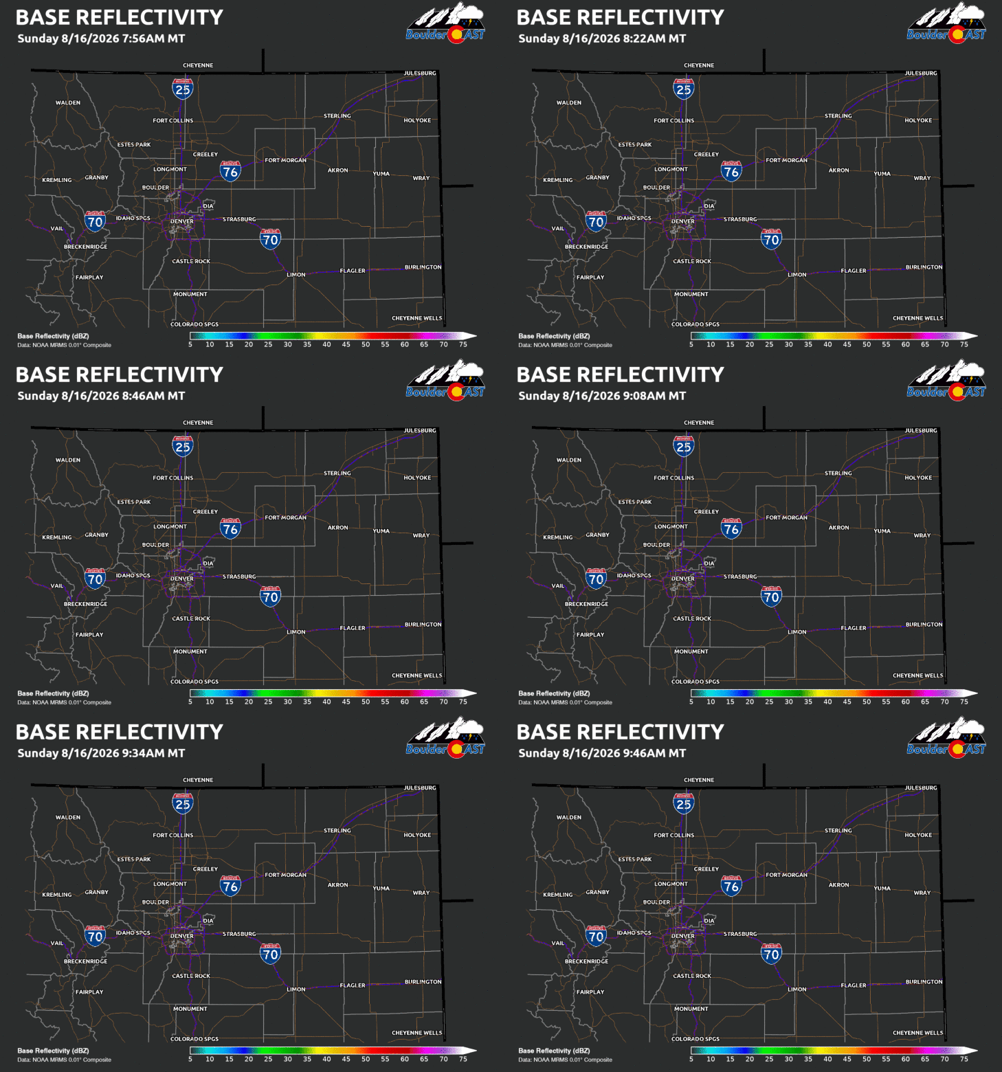
Latest Smoke Forecast
Recent Premium Posts

BoulderCAST Daily – Sat 10/31/26 | A Foggy Start to Halloween
🎃 🌫️ Halloween Day starts off with fog — Seasonable temperatures near 60° …
BoulderCAST Daily – Fri 10/30/26 | A Largely Dry Halloween Weekend
🎃 Halloween Weekend Looks Mainly Dry — Seasonable temperatures near 60°, albeit with …
This Weekend in Colorado Weather: A Great Halloween Weekend Before Rain Chances Return Monday
☀️ Quiet Through Sunday — Mild temperatures in the 60s and mostly dry …
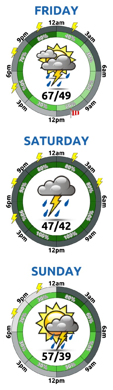
3-Day Forecast
Trending Content


© 2026 Front Range Weather, LLC