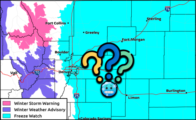
A fresh surge of moisture, lift and colder air are flowing into the Front Range today, with rain, high‑elevation snow, and even a few rumbles of thunder unfolding before the storm finally winds down Monday evening. The highest terrain could quietly overachieve on snow, while the Boulder-Denver area stays mostly just rainy. We also check in on the declining chance for sub-freezing temperatures Monday night.
This content is for BoulderCAST Premium members only. Join Premium now to get access to our detailed forecast discussions for Boulder and Denver every single day, plus a bunch of other cool perks!

Go Premium, get all the perks.
Daily Forecast Updates
Get our daily forecast discussion every morning delivered to your inbox.
All Our Model Data
Access to all our Colorado-centric high-resolution weather model graphics. Seriously — every one!
Ski & Hiking Forecasts
6-day forecasts for all the Colorado ski resorts, plus more than 120 hiking trails, including every 14er.
Smoke Forecasts
Wildfire smoke concentration predictions up to 72 hours into the future.
Exclusive Content
Weekend outlooks every Thursday, bonus storm updates, historical data and much more!
No Advertisements
Enjoy ad-free viewing on the entire site.


You must be logged in to post a comment.