Let’s take a look at the snow totals across the Front Range from Friday night’s quick-moving, late-March snow event.
L
ast night’s snow event was an interesting one to say the least. All week long, the models struggled to resolve exactly how organized and cold the trough across the northern Rockies would be. Would it be cold enough for accumulating snow? Would there even be an actual defined “storm”? These are all questions that our team, right along with all of the weather models, had trouble pinpointing throughout the week…
Our weekly outlook posted Monday included a rare “90% chance of precipitation” five days out for Friday. If you know anything about Front Range weather, or our forecasting style, we are often cautious about definitively predicting precipitation that far out. There are very specific conditions that lead to precipitation, let alone spring snow for our region, which often do not become clear until a few days out. This was not the case this week. We knew a cool, gloomy pattern or event was coming, but it wasn’t 100% clear what exactly that would be. Our forecast update on Wednesday basically reiterated our thoughts from Monday’s post: a period of rain and snow, but accumulation was questionable. It wasn’t until late Thursday night and early Friday that it became clear widespread snow was going to happen for our region. The cold air was indeed going to be present AND overlap the heavier precipitation for a few hours Friday night. Despite the very warm ground temperatures, we issued our final forecast Friday morning, painting the Metro area with 1-4″ of snow.
Another aspect of our spring storm was the thunderstorm potential, which was never fully realized in the Metro area due to lingering stratus clouds on Friday. However, the areas that did see sunshine were able to capitalize on the juicy spring instability. The satellite image below on the right is from Friday afternoon. Observed lightning strikes correlate well with the areas that saw the low clouds clear (mainly south of the Palmer Divide). Just east of Colorado Springs, there were numerous reports of hail and even a tornado touchdown from severe thunderstorms that formed.
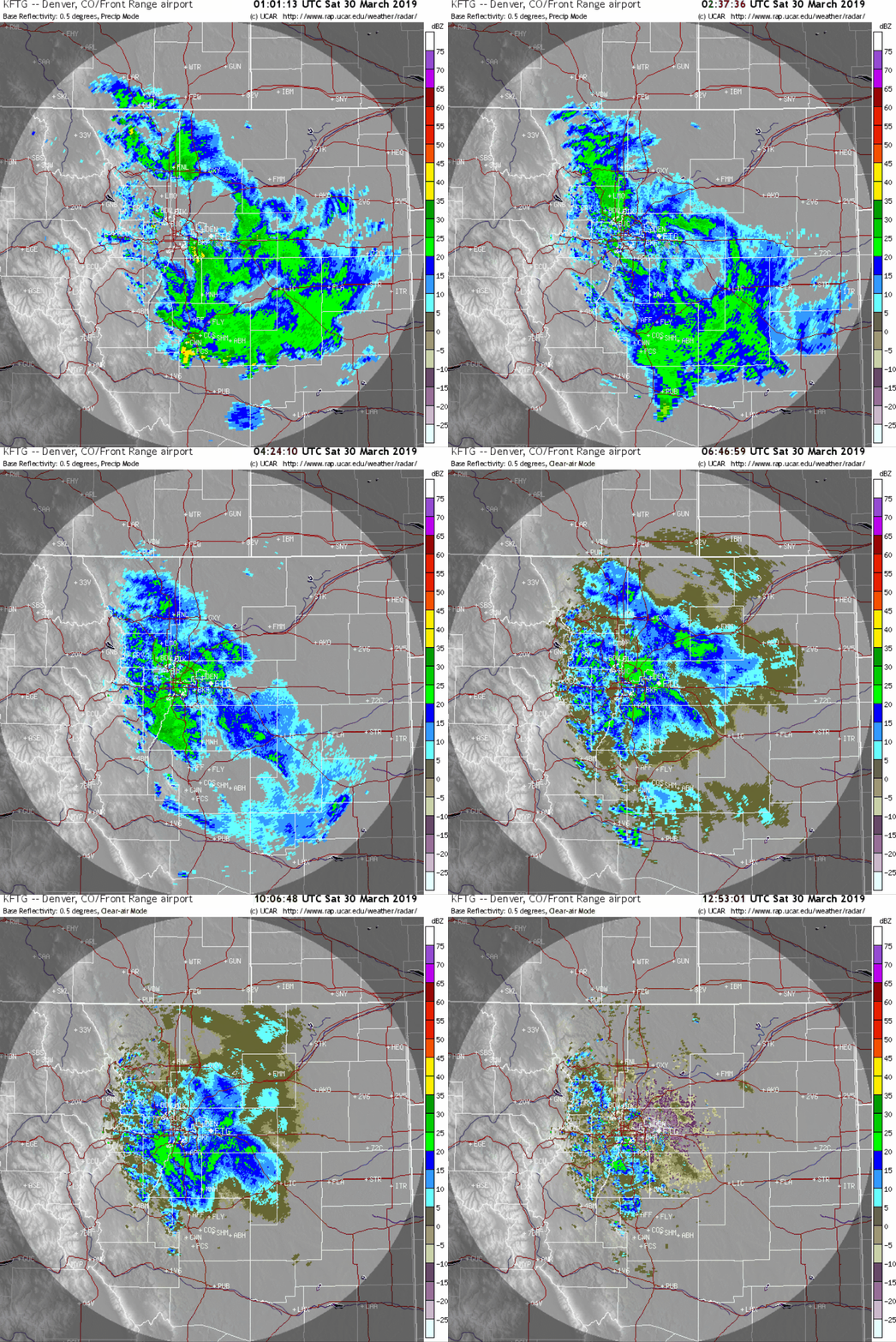
The radar animation below spans the entire snowy portion of the event, from 7PM Friday to 7AM Saturday. In general, we see widespread moderate snowfall with a few embedded areas of heavy snow.
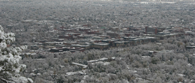
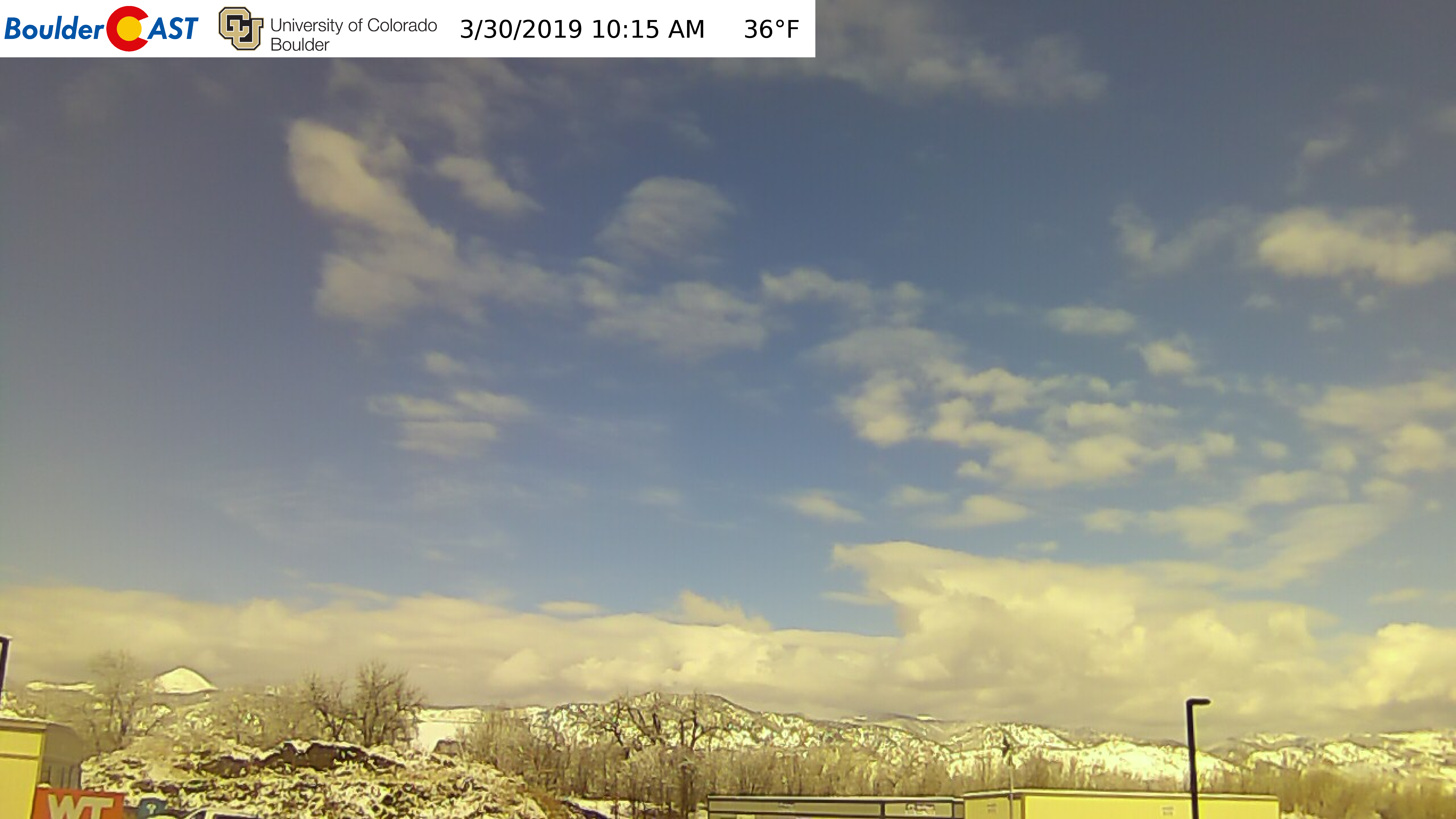
However, as of 10:30 AM Saturday, the sun is out and the snow is melting in Boulder! Though there is still a significant amount of cloud cover linger across the Denver area.
A look at the snow table on CU’s campus shows around 4 inches of snow fell overnight.
Shown below is our snowfall forecast map with totals overlaid in boxes. Green boxes indicate that our forecast verified to within one inch of the observed snowfall. Everyone did just fine with our forecast.
The official total for Boulder was 4.9″. Denver International Airport reported just 1.3″, but totals around downtown were more like 3″. Areas west of Interstate 25 did do a little better than those east.
Quick forecast looking ahead
Given the sunshine already this morning, temperatures will warm into the lower 40’s Saturday afternoon and maybe get close to freezing higher up in the Foothills. The melt is ON! Late March snow never lasts long around here!
Diurnal snow showers are possible in the Mountains this afternoon with minimal accumulation expected. A stronger system will impact mainly southern Colorado during much of the day Sunday. This will produce 6 to 14″ of snow for the San Juans, great if you have a ski pass for Telluride or Wolf Creek. Not so much for the I-70 corridor, though.
Earlier in the week, there was some concern this system could impact the Front Range. However, this is not the case and Sunday will actually be quite pleasant for our region. We will likely only see a few upper-level clouds from the northern fringe of this passing storm.
Our next chance of precipitation comes our way around the middle of next week. Maybe a little snow to begin April? We shall see. With El Niño in full-swing, we don’t doubt that there will be more white stuff to come!
Fun fact: Boulder hasn’t had a snowless April since 1992…
Help support our team by subscribing to BoulderCAST Premium for less than $4 per month. If you love weather, you’ll love Premium. We promise! It truly helps support our team’s efforts to add new features and forecasting content on a daily basis, as well as growing our suite of weather instrumentation across the Front Range.
Share this post:
.


You must be logged in to post a comment.