



Page 189 of 586
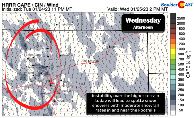
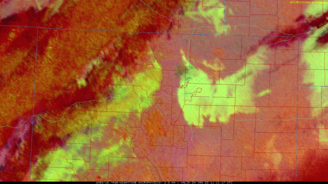
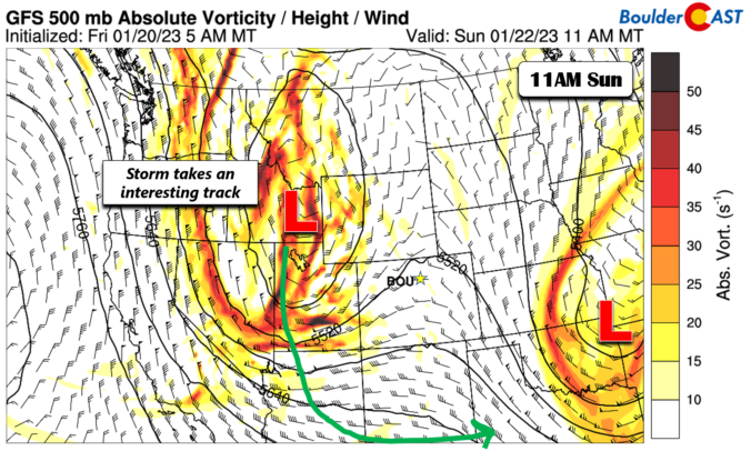
Unseasonably cold temperatures will be in place throughout the week ahead with little hope for any warmer weather in the near-term across Front Range Colorado. A southern-track storm system will bring light snow totals to the Front Range for our Monday. The chance of snow will returns Tuesday into early Thursday as northerly mid-level flow sends ripples of energy to combine with weak surface upslope. Temperatures may finally get out of the 30s by week’s end, but just barely!
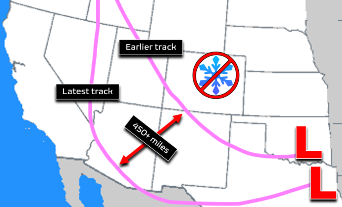
The chance of substantial snow in the Front Range Sunday night into Monday has largely vanished into thin air. We discuss why this happened and the now lighter potential snowfall totals to begin the work week.
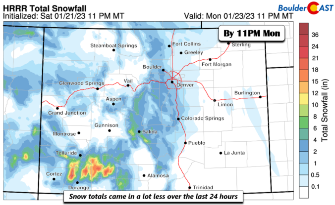


There was a lot of complaining this week about the poor snow forecast, but it actually turned out pretty okay — not amazing, but definitely okay. Let’s take a quick look at the totals from across the area for what was a rather impressive winter storm by January standards. We also peek ahead to the cold and snowy stretch of weather to come.

Live View of Boulder

Current Conditions

Live Radar

Latest Smoke Forecast

Recent Premium Posts

BoulderCAST Daily – Tue 10/06/26 | October Heatwave Keeps Its Grip on the Front Range All Week Long
🔥 Record October heat — Boulder hit 89°F yesterday (just shy of the …
BoulderCAST Daily – Sun 10/04/26 | The Persistent 80s and Continuation of Summer-Like Temperatures
🌡️August-like temperatures: Temperatures hover in the 80s throughout the upcoming week, prolonging the …
BoulderCAST Daily – Sat 10/03/26 | Quiet and Mild in Colorado but Active in the Tropics
☀️ Quiet and dry weather: Highs in the 80s continue through nearly the …
3-Day Forecast

Trending Content



© 2026 Front Range Weather, LLC