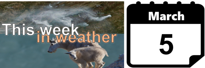
We begin the week with windy conditions, followed by a gradual warming trend into the 60’s to end the week. There may be a chance of snow by Saturday, but current model indications look meager at best.
Category: Winter Weather (Page 111 of 139)
These posts contain some discussion of the white stuff, whether it be mountain snow pack or a Front Range snowstorm.
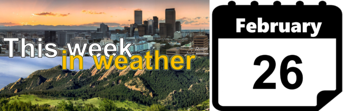
Despite a generally troughy pattern remaining across the western United States this week, things in Colorado will be relatively quiet. Snow chances will be next to zero for the lower elevations, with only one brief period of light snow expected in the Mountains. Temperatures will also be much warmer this week compared to last.
Don’t let the sunny skies Friday morning fool you. Similar to the snowfall event on President’s Day, atmospheric components will briefly align this evening for banded snowfall to once again form across the Front Range. The Northwest Metro area appears to be favored again by the models, including Boulder, Louisville, Longmont, and Broomfield.
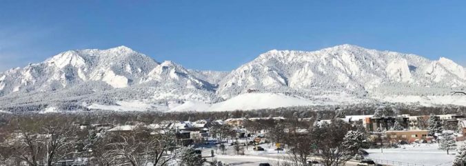
Just as forecast, the overhead jet stream delivered heavy banded snowfall to the Boulder area Monday evening. We review the evolution of the storm and discuss the snow totals from across the region.
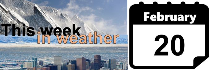
In the wake of last night’s snow, we start out the shortened work week on the nippy side with an Arctic airmass entrenched across the Front Range. Temperatures may not get above freezing until Friday. We are also watching three (yes three!) more chances for snow this week, especially on Friday, with the approach of another potent trough.
Happy President’s Day! A winter storm is impacting northern Colorado with snow and much colder temperatures today through Wednesday. Models are latching onto a track the will produce a sharp gradient in snow amounts across the Denver Metro area. Read on for our full forecast.

Our forecast for the holiday weekend covers two separate wind storms, very warm weather across the Plains, and President’s Day snowfall.
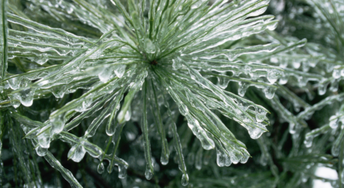
This winter has slowly become the “Winter of Freezing Drizzle” for the Front Range. Many of you have reached out to us wondering why there has been so many occurrences this year in particular. In short, the finger can be pointed at La Niña. However, the true answer is a little more complex.

Live View of Boulder

Current Conditions

Live Radar

Recent Premium Posts

BoulderCAST Daily – Sat 06/06/26 | Isolated afternoon storms as the heat continues
🥵 Middle 90s dominate today and Sunday 🌩️ Front Range storms each afternoon/evening …
BoulderCAST Daily – Fri 06/05/26 | A streak of 90s set in through the weekend
🥵 A streak of 90s today through the weekend with low to middle …
This Weekend in Colorado Weather: Early-Season Heat Ramps Up — First 90s of the Year on the Horizon
🌬️ West–northwest flow Thursday supports high‑based convection with gusts to 35 MPH; virga …
3-Day Forecast

Trending Content

© 2026 Front Range Weather, LLC