


Everything is on-track with our spring (winter?) storm. We provide a few last details, potential bust scenarios, and our final snowfall forecast map.
Category: Winter Weather (Page 112 of 161)
These posts contain some discussion of the white stuff, whether it be mountain snow pack or a Front Range snowstorm.
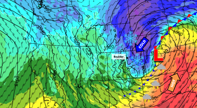
Over the last day or so, the majority of the weather models have shifted the track of the approaching Pacific storm system further south. This now provides us with high confidence that our entire region will see accumulating snow Wednesday afternoon, evening, and night. Read on for more details and our preliminary snowfall forecast map.
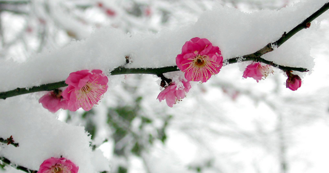
From record-setting heat to potential blizzard conditions, this week has it all for northeast Colorado. The extent of wintry impacts Wednesday into Thursday will hinge on the track of the incoming storm, which as of now, remains shrouded in uncertainty. Either way, summer will shift to winter in the blink of a eye mid-week.
All in all, we start out the first week of April on the mild side. With the exception of Wednesday, we’ll see an increasing trend towards spring-like temperatures. A few systems will be tracking through during the week which will also lead to our first chances for April showers. We detail this and more in our week ahead!
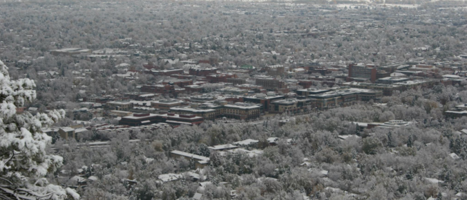
Let’s take a look at the snow totals across the Front Range from Friday night’s quick-moving, late-March snow event.
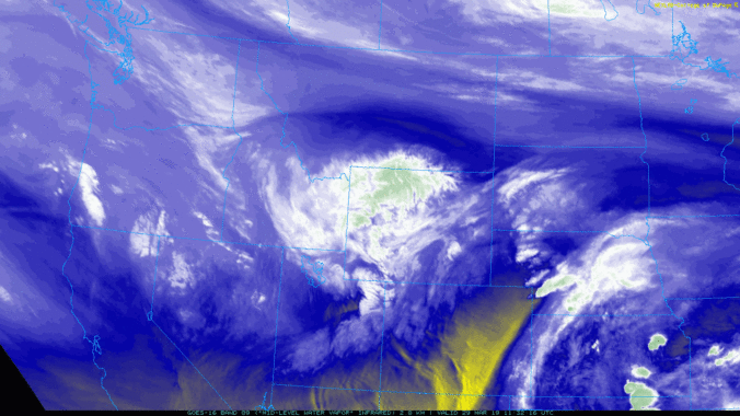
We provide a quick forecast update covering the threat of thundershowers Friday afternoon and accumulating snow Friday night. Read on for a discussion of the timeline and potential snow amounts.
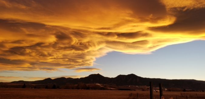
Enjoy the warmth these next couple days. A pattern shift will bring cooler, unsettled weather to the Front Range beginning Thursday night and continuing through the upcoming weekend.
Live Radar

Trending Content


Recent Premium Posts

BoulderCAST Daily – Tue 11/10/26 | Clouds Increase Today, But Colorado’s Dry Pattern Rolls On
🌤️ A Few More Clouds Today – Mountain wave clouds are developing along …
BoulderCAST Daily – Sun 11/08/26 | Mild November Weather Continues, Even With A Cold Front Midweek
☀️ Sunny and warm for early November – Temperatures in the middle to …
BoulderCAST Daily – Sat 11/07/26 | A Pleasant Weekend With Dry Weather For a While…
☀️ Sunny and Pleasant – Highs in the lower 60s this afternoon trend …
© 2026 Front Range Weather, LLC