February begins on a cold and wintry note! Read our complete forecast.
Category: Winter Weather (Page 113 of 139)
These posts contain some discussion of the white stuff, whether it be mountain snow pack or a Front Range snowstorm.
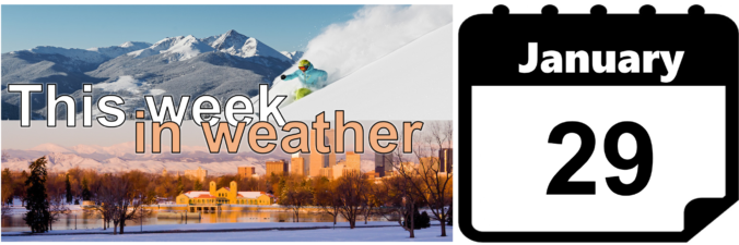
The first few days this week will be quite warm…potentially record setting. Colder air follows midweek with the possibility of snowfall for the Mountains and Plains. We detail this, as well as the extended range forecast through the weekend in which we are tracking Arctic air.
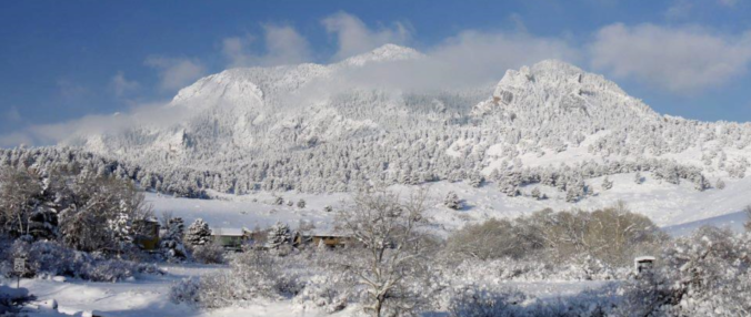
Following yesterday’s impressive winter storm, quieter weather is on tap for the week ahead. The sunshine and warmer temperatures will be welcomed. Our next chance of snow comes late in the week…
STORM UPDATE (Sunday 9:00 AM): Totals through 9:00AM are 3-5″ across the Plains and 4-6″ in the Foothills. Everything looks on track. Snowfall rates will be heaviest before noon today (up to 3/4″ per hour), with snow tapering off this afternoon from northwest to southeast as winds shift to downslope. Additional accumulations of 1-4″ are possible.
The impending winter storm is tracking slightly slower than the weather models were advertising yesterday. The impacts are good, if you like snow that is! We provide our final forecast, including timing, impacts, and our snowfall forecast map!
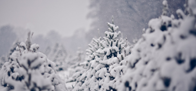
Warm weather has been the story over the last few days for the Front Range, but that headline is about to change with the arrival of a potent winter storm Saturday night. We explain the atmospheric set-up and detail what will likely be our biggest snow event so far this winter across the lower elevations.
We review the light snow and freezing drizzle that fell on Martin Luther King Junior Day across the Metro area and detail when we will see our next round of snow.
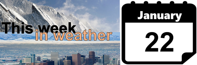
The week ahead starts out on the cold and wintry side on this M.L.K. day. The Arctic air doesn’t last long however, as warm air spreads back into the area by Wednesday. We are watching the potential for a more potent winter storm late in the week and coming weekend. Read on for more details.

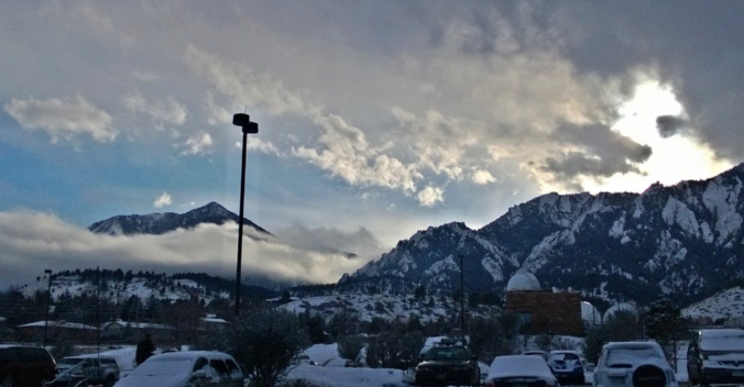
Live View of Boulder

Current Conditions

Live Radar

Recent Premium Posts

BoulderCAST Daily – Sat 06/06/26 | Isolated afternoon storms as the heat continues
🥵 Middle 90s dominate today and Sunday 🌩️ Front Range storms each afternoon/evening …
BoulderCAST Daily – Fri 06/05/26 | A streak of 90s set in through the weekend
🥵 A streak of 90s today through the weekend with low to middle …
This Weekend in Colorado Weather: Early-Season Heat Ramps Up — First 90s of the Year on the Horizon
🌬️ West–northwest flow Thursday supports high‑based convection with gusts to 35 MPH; virga …
3-Day Forecast

Trending Content

© 2026 Front Range Weather, LLC