Category: Winter Weather (Page 103 of 139)
These posts contain some discussion of the white stuff, whether it be mountain snow pack or a Front Range snowstorm.
For the second weekend in a row, a winter storm will be impacting the Front Range with very cold temperatures, freezing drizzle, and snow. We discuss when the cold air will arrive, potential ice and snow amounts, and when temperatures will return to normal again.
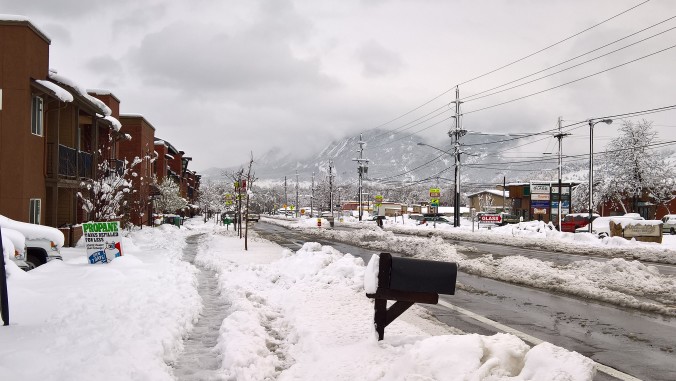
The Veterans Day 2018 snowstorm delivered a bigger punch than forecast across portions of the Denver Metro area. We review the evolution of the storm and discuss why snow totals came in so unexpectedly high.
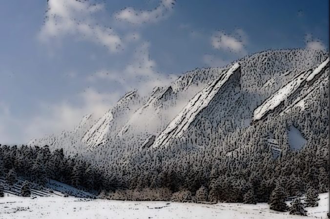
Following yesterday’s dumping of snow, especially in Boulder and the Foothills, a large ridge of high pressure takes over for the upcoming week, with temperatures gradually warming back up. We’re watching a weak cold front later in the week, but overall the week remains dry with near to slightly above average temperatures to end the week.
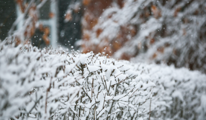
We hope you were able to make it outside to enjoy what was a beautiful Saturday! Unfortunately, winter is only a handful of hours away. We discuss a few changes that will ultimately lead to a boost in snow totals across the Front Range. Read on for details.
The monotony of quiet weather will be interrupted this weekend as a quick-moving storm system brings much colder temperature and light snow to the Metro area on Sunday. We discuss the timing and amounts of our first snow of the month of November.
Following a weekend of pleasant weather across the lower elevations and heavy snow in the Mountains, northwest flow will linger this week leading to temperatures remaining on the cool side.
Welp….you were probably disappointed with your snow amount waking up on Halloween this year. We sure were! We review the snow totals from across the Front Range, discuss why many locations saw less snow than expected, and talk Mountain snow heading to Colorado.

Live View of Boulder

Current Conditions

Live Radar

Recent Premium Posts

BoulderCAST Daily – Fri 06/05/26 | A streak of 90s set in through the weekend
🥵 A streak of 90s today through the weekend with low to middle …
This Weekend in Colorado Weather: Early-Season Heat Ramps Up — First 90s of the Year on the Horizon
🌬️ West–northwest flow Thursday supports high‑based convection with gusts to 35 MPH; virga …
BoulderCAST Daily – Wed 06/03/26 | Scattered P.M. storms again as moisture peaks for the week
🌬️ Weak westerly flow aloft today with no major synoptic features nearby; only …
3-Day Forecast

Trending Content

© 2026 Front Range Weather, LLC
You must be logged in to post a comment.