


We begin the week under the protective influence of a mid-level ridge of high pressure. With this, the Front Range will be (mostly) dry and at times very warm through the week. Read on for our short and to-the-point weekly outlook.
Category: Verification (Page 50 of 61)
These posts take a look back at recent weather events, like snow storms or severe weather outbreaks, and evaluate how the forecast played out. We evaluate how well the models predicted what actually occurred, and offer insight into what can be learned and applied moving forward.
2017 got off to a quick start with multiple snow storms dumping on parts of northeast Colorado and the Mountains. However, we’re seeing strong indication in the models that things are about to quiet down significantly for the foreseeable future.
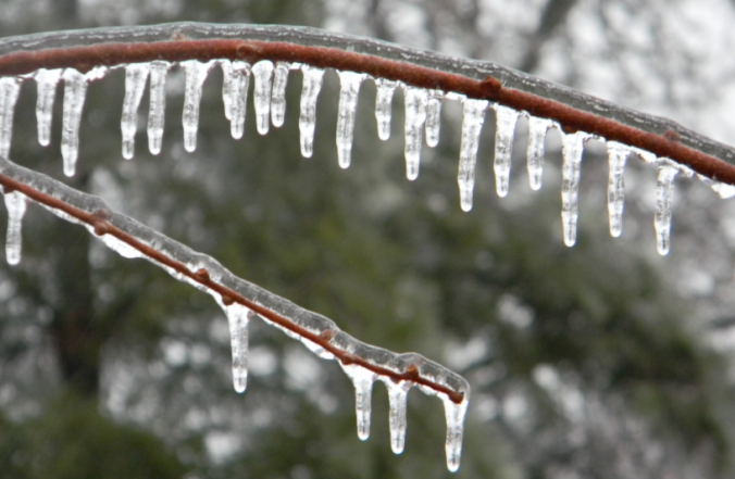
Yesterday saw a mix of wintry precipitation fall across the Denver Metro area. Snow pellets and snowflakes were observed in spots, but closer to the Foothills near Boulder, freezing drizzle produced a dangerous glaze of ice that was responsible for numerous car accidents (and probably many pedestrian slips and falls). We explain the rare weather set-up the led to the somewhat unexpected occurrence of ice in Boulder.
Snow that fell Sunday night into Monday continues to melt as warmer temperatures have taken hold the last few days across the Front Range. We review the totals from the event earlier in the week, check in on our Mountain snowpack, and detail what’s on-tap for Thursday night as another chance of snow arrives.
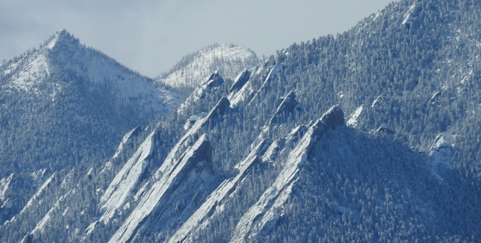
Heavy snow fell overnight across the Front Range, much more in some places than others. We review the storm totals, discuss how our forecast played out, and let you know when all of it will melt.

Following month after month of dry and warm weather, December finally turned the tide and brought colder and snowier conditions to the region. Will January continue the trend? Read on as we examine Boulder’s climatology and consider the current state of the atmosphere to give our outlook for the next month.
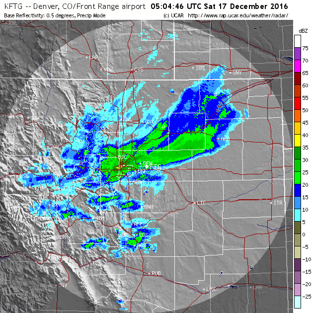
Thanks to a stationary band of heavy snow Friday night, many of you may have awoken to more snow than expected. We explain what happened overnight to produce 5-10″ of snow in parts of the Denver Metro area and also detail when we expect the Arctic chill to retreat.
Live Radar

Trending Content


Recent Premium Posts

BoulderCAST Daily – Wed 11/11/26 | Mild Days Ahead, But There Are Signs of a More Active November Soon
☀️ Warm & Quiet — Sunshine dominates through Thursday with highs rising from …
BoulderCAST Daily – Tue 11/10/26 | Clouds Increase Today, But Colorado’s Dry Pattern Rolls On
🌤️ A Few More Clouds Today – Mountain wave clouds are developing along …
BoulderCAST Daily – Sun 11/08/26 | Mild November Weather Continues, Even With A Cold Front Midweek
☀️ Sunny and warm for early November – Temperatures in the middle to …
© 2026 Front Range Weather, LLC