
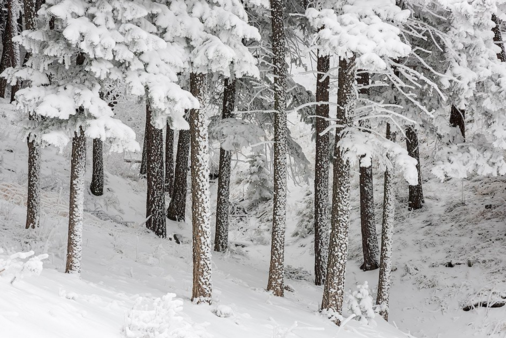
We hope you had a cozy, joyous. and relaxing holiday with your family and friends. Mother Nature delivered the best gift of all, a White Christmas, our second in as many years. We quickly recap storm totals across the region.
Category: Verification (Page 49 of 53)
These posts take a look back at recent weather events, like snow storms or severe weather outbreaks, and evaluate how the forecast played out. We evaluate how well the models predicted what actually occurred, and offer insight into what can be learned and applied moving forward.
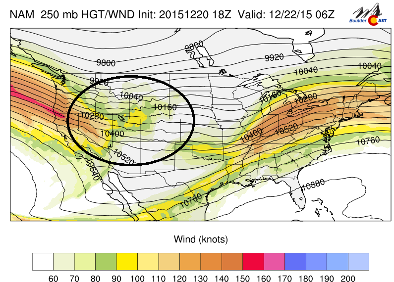
This week will feature a series of snow events across the High Country, with several ski resorts likely accumulating more than a foot of snow by midweek. This is all thanks to a large Pacific jet stream tracking into the western United States. There are also hints Boulder may see some snow on Christmas. Continue to find out more.
More than thirty-six hours after the snow has settled on the surprise storm of the year (and quite possibly the decade?) for the Denver Metro area, we explain what went through the minds of the forecasters in the hours leading up to the storm, what likely led to the storm’s deviation from initial forecasts, and recap snowfall totals from across the Front Range.
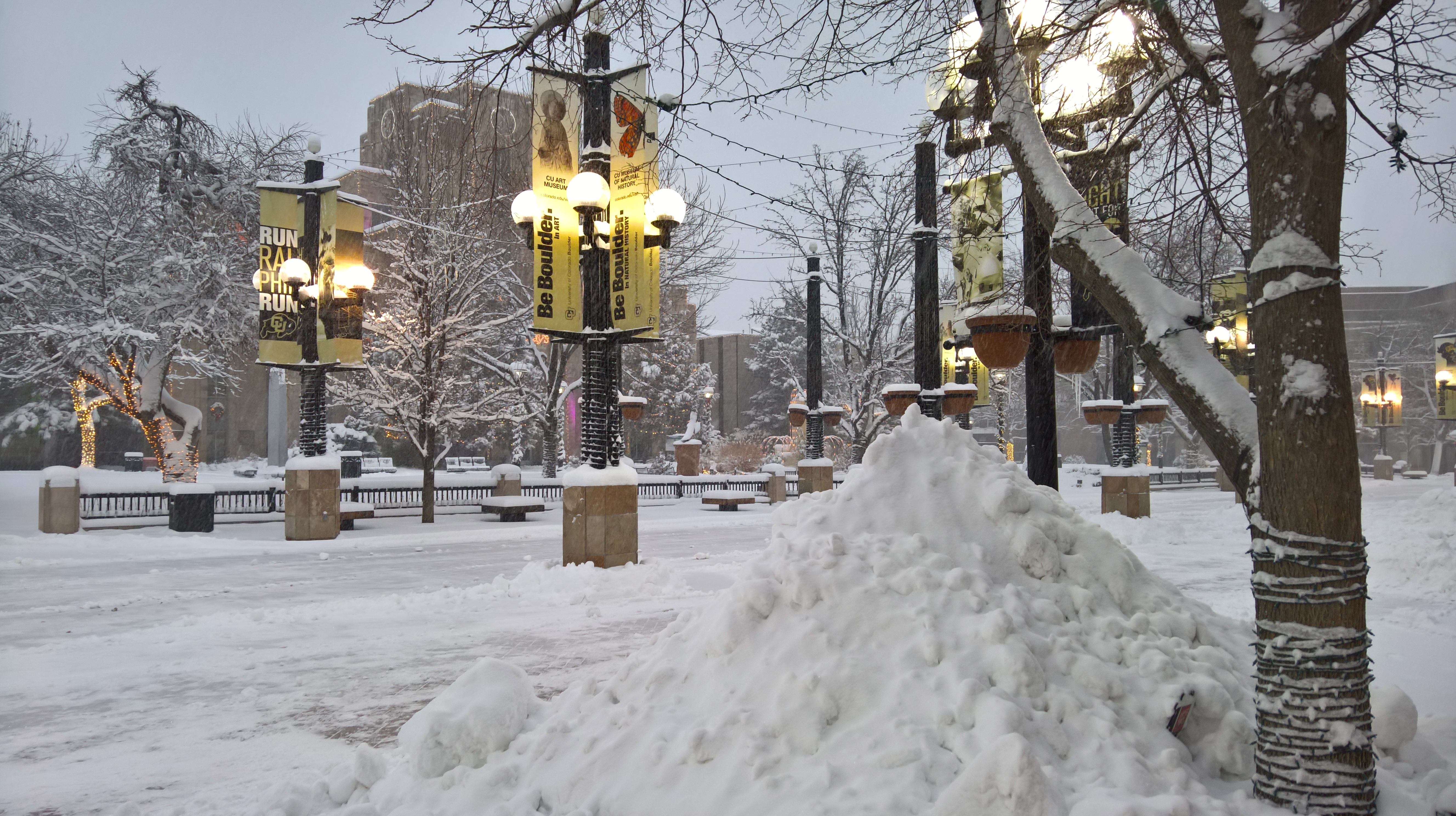
Many of you likely awoke to considerably more snow than expected! Most schools and public offerings are shut down, and there is currently a snow plow upside down in Boulder Creek. Don’t worry, the driver is doing fine. Snow totals thus far are in the 7-10″ range over then entire Denver Metro area. We measured 8.5″ at BoulderCAST around 7:00am, which was equal to the official measurement taken by the National Weather Service at 8:30am. By the time the snow wraps up this afternoon, we are likely to exceed 10 inches. Let us know in the comments below how much snow is in your neighborhood!
It wasn’t until late last night that it became clear Boulder and the entire Denver area may be in for our first significant snow of the year. There are a lot of reasons for this, including a little good fortune. We will discuss this in a post later today or tomorrow (found here). Stay tuned and drive safe (if you must!).
After several 60+ degree days, Saturday’s snow storm brought an end to the unseasonably warm and dry start to December across northeast Colorado. We briefly recap the storm totals and discuss the good and bad of our forecast.

After nearly a week of below freezing temperatures, including a frigid and snowy Thanksgiving, the weather will make a turn for the better during the upcoming week with temperatures rising into the 50’s. Read on to find out when the warm-up arrives!
The Arctic air and a prolonged period of light snow arrived as projected for America’s day of thanks. And whether you like it or not, it is here to stay for at least a few more days. We briefly recap the storm and discuss how our Thanksgiving forecast played out. We also give you the details on tonight’s snow event.
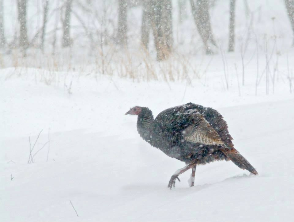
With Turkey Day nearly upon us, this week’s forecast will feature another chance of snow and our first dose of Arctic cold air. We have high confidence that just about all of Boulder County is in store for a white Thanksgiving. Read on for all the frigid details!

Live View of Boulder

Current Conditions

Live Radar

Recent Premium Posts

BoulderCAST Daily – Wed 06/03/26 | Scattered P.M. storms again as moisture peaks for the week
🌬️ Weak westerly flow aloft today with no major synoptic features nearby; only …
BoulderCAST Daily – Tue 06/02/26 | Storms Reload This Afternoon, But With Noticeably Less Bite
❄️ Monday delivered lots of hail to northeast Colorado, with one supercell tracking …
BoulderCAST Daily – Sun 05/31/26 | Dry and warm today but rain chances increase this week
🌦️ Overall dry and warm Sunday, though cannot rule out a very widely …
3-Day Forecast

Trending Content

© 2026 Front Range Weather, LLC
You must be logged in to post a comment.