Category: Verification (Page 15 of 53)
These posts take a look back at recent weather events, like snow storms or severe weather outbreaks, and evaluate how the forecast played out. We evaluate how well the models predicted what actually occurred, and offer insight into what can be learned and applied moving forward.

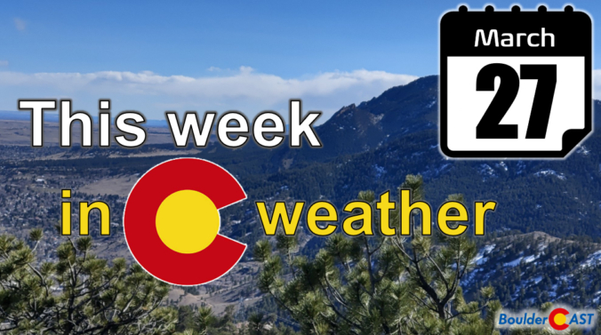
After widespread snow and unseasonably cold weather on Monday, things quiet down for the midweek period with a nice warm-up headed to the Front Range. A secondary storm system will reach the area Thursday into Friday with Mountain snowfall ramping up again along with another chance of snow in the Denver area to close out the month of March. Read on for all the details.
February 2023 was a chilly exclamation point on what was ultimately Boulder’s 2nd coldest winter in 30 years and the coldest since 2010. This very icy status was solidified by one of the most pronounced late February cold snaps on record. Here’s a quick and colorful graphical recap of our weather during February and how it relates to climatology.
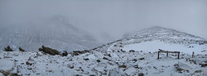
The sun is out but temperatures are way below zero this Thursday morning! Here’s a few highlights from the ongoing Arctic blast as snow wraps up and a slow warming trend begins across the Front Range.
January 2023 was our third consecutive anomalously cold and wet month in the Front Range with drought significantly improving during this time as a result. The month closed out with a bitter cold Arctic outbreak solidifying this January as the coldest since 2007 — something that will be felt in everyone’s wallet when the heating bill arrives. Here’s a quick and colorful graphical recap of our weather during January and how it relates to climatology.

Live View of Boulder

Current Conditions

Live Radar

Recent Premium Posts

BoulderCAST Daily – Sun 05/31/26 | Dry and warm today but rain chances increase this week
🌦️ Overall dry and warm Sunday, though cannot rule out a very widely …
BoulderCAST Daily – Sat 05/30/26 | A stray shower today as most activity resides well east of Denver
🌦️ Spotty showers today, mainly well east of the Denver Metro area, where …
BoulderCAST Daily – Fri 05/29/26 | A Marginal Risk of Severe Isolated Storms
🌦️ Spotty showers this afternoon, mainly noon and 4 PM, with highs in …
3-Day Forecast

Trending Content

© 2026 Front Range Weather, LLC