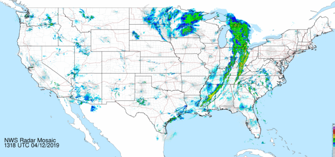
A persistent and slow-moving cutoff low pressure system will lead to scattered daytime thunderstorms through Wednesday, with gradual drier and summer temperatures taking hold by the end of the week. Read on for more details.
Category: This Week in Colorado Weather (Page 43 of 68)
These weekly forecast posts are published EVERY Monday morning and provide a general overview of the atmosphere and the weather conditions for the week ahead in Front Range Colorado. We give you a heads-up on the major short-term weather features and anything looming down the road.
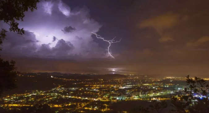
This week’s Front Range weather headline is yet another late-season spring storm system moving directly across Colorado on Tuesday. This will lead to a couple of very chilly days and more widespread rainfall and clouds for the Metro area. We’re even still talking about snow in the Foothills just west of Boulder. While conditions will improve as the week progresses, the chance of rain remains each day. Read on for our complete forecast of the shortened work-week ahead.
This week continues right where the weekend left off….unsettled and chilly. Significant snow is likely in the Mountains and Foothills Monday into Tuesday as a strong spring storm moves across Colorado, with light snow possible in the Denver Metro area as well. Drier weather returns towards the end of the week along with warmer temperatures.
In stark contrast to what transpired last week, the next handful of days will be warm and pleasant across the region with only minor chances of late-day thunderstorms. However, late in the week, a Pacific storm system will slide into the area, though it’s not exactly clear what the impacts will be across the Front Range. Read on for our complete forecast of the week ahead.

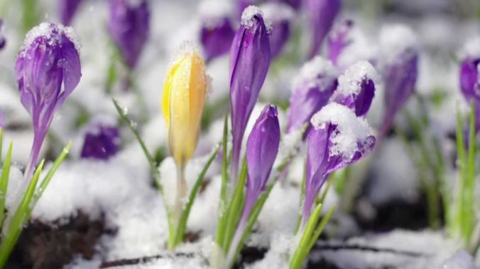
A wet and unsettled week is in store for the area as a slow-moving system moves across Colorado. There’s even have a chance of snowflakes Wednesday night into Thursday. We also detail the forecast for the CU commencement this Thursday. Read on for more details.

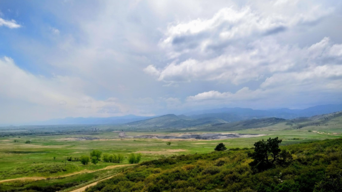
A cool and dreary Monday will give way to a generally pleasant rest of the week with warming temperatures. We also discuss the slim chance of seeing additional snowfall this season.

This week will feature generally warm weather, but there will be periods of cooler weather and some precipitation mixed in.
Rain and snow return to the forecast Friday and Saturday, but better weather lies ahead for Sunday. Read on for our updated forecast covering the entire weekend.

Live View of Boulder

Current Conditions

Live Radar

Recent Premium Posts

BoulderCAST Daily – Wed 01/14/26 | A gorgeous Wednesday ahead of increasing fire danger & a stronger cold front tomorrow
🌬️ Weak front overnight — A weak cold front slipped through around 9:30 …
BoulderCAST Daily – Tue 01/13/26 | A thick blanket of high clouds won’t stop us from reaching the 60s again
☁️ Thick cloud deck overhead — Moisture streaming in aloft brings widespread mid‑ …
BoulderCAST Daily – Sun 01/11/26 | A mild Sunday with readings reaching the 50s
🌤️ Mild & Melty Sunday: Light winds and patchy clouds, with lingering snowpack …
3-Day Forecast

Trending Content

© 2026 Front Range Weather, LLC