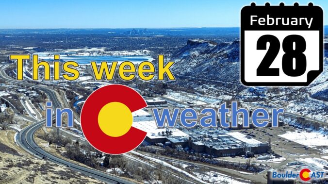
If last week was considered the winter deep freeze, this week shall be the spring thaw! The main story for the majority of the week ahead will be above normal high temperatures and dry conditions under a strong mid-level ridge of high pressure. A storm system moving onshore along the West Coast on Thursday will return our area to a more unsettled pattern late Friday into the weekend, along with a likelihood of snow and colder air filtering in. Read on for more details.
Category: This Week in Colorado Weather (Page 26 of 68)
These weekly forecast posts are published EVERY Monday morning and provide a general overview of the atmosphere and the weather conditions for the week ahead in Front Range Colorado. We give you a heads-up on the major short-term weather features and anything looming down the road.
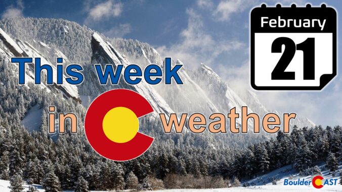
The upcoming week will feature a drastic change in our weather as a late-season Arctic airmass surges in on Monday and remains locked across the Front Range through at least Friday. Alongside the bitter cold temperatures will be a handful of light snow chances from President’s Day Monday through Wednesday night that will bring a wide range in potential snowfall totals. We’re expecting the highest amounts in and near the Foothills, including Boulder. Read on for the full details on what is surely to be a frigid and snowy week ahead.
The upcoming week will begin and end rather quiet across the Front Range, but smack in the middle we’ve got an excellent chance of upslope snow on Wednesday. Models remain inconsistent with the specifics of this storm system, but it’s clear that everyone should see some accumulation alongside the markedly colder temperatures. Read on for our preliminary snowfall expectations and a complete outlook for the week ahead.

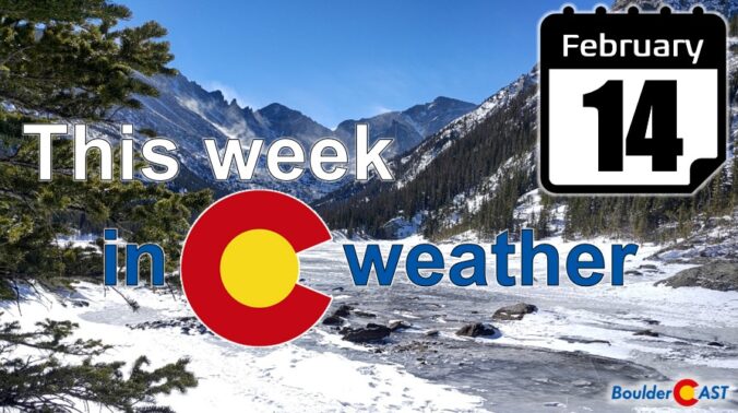
After one of the snowiest mid-winter stretches in Boulder’s history, it appears that things will quiet down somewhat for the week ahead. Temperatures will be fairly mild through the week. However, there will be several disturbances to watch which could produce snow across the Front Range — one Wednesday night with another to follow late Friday. Read on for our complete outlook for the week ahead.
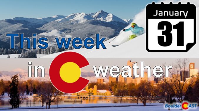
The final day of what has been a snowy January will be quiet across the Front Range, but that all changes for the start of February as a significant winter storm takes aim on the region. Upslope favored areas like Boulder could very well see close to a foot of snow this week while parts of Denver will see much less. Some of the coldest air of the season will be moving in as well. We give our current thoughts on the incoming storm and our preliminary snowfall expectations. Quiet weather returns late in the week and for the upcoming weekend.
The week begins quiet on Monday, but things turn notably snowy and much colder by Tuesday. We’re tracking a winter storm that will bring accumulating snow to all of eastern Colorado Tuesday morning into the afternoon hours with a dicey morning commute all but guaranteed. We discuss the timing of the storm and expected snowfall amounts across the region. Further out, another round of snow could accompany a weak system on Thursday, but that is still evolving. Read on for all the details.
Premium Storm Update (1/25/22 6:00AM): We do a final check of the latest model runs and how they compare to what is actively occurring across northeast Colorado early Tuesday morning. We give our final thoughts on the storm and discuss the next chance of light snow waiting in the wings for Thursday. READ HERE
The week starts out above average with 60-degree temperatures possible over the Denver Metro area on Monday. That all comes to a halt late Tuesday as two strong cold fronts move into the region ushering in a colder and more unsettled weather pattern for mid to late-week. At the moment, we are tracking two wintry systems. Read on to find out more.
An unsettled weather pattern the last few weeks has brought heavy snow to the Mountains and a couple of decent snow events to the Denver Metro area as well. We’re now starting to get back on-track for snow. However, the week ahead will be mild and sunny for the most part, but we are watching a system set to move in on Friday for cooler temperatures and a chance of light snow.

Live View of Boulder

Current Conditions

Live Radar

Recent Premium Posts

BoulderCAST Daily – Tue 01/13/26 | A thick blanket of high clouds won’t stop us from reaching the 60s again
☁️ Thick cloud deck overhead — Moisture streaming in aloft brings widespread mid‑ …
BoulderCAST Daily – Sun 01/11/26 | A mild Sunday with readings reaching the 50s
🌤️ Mild & Melty Sunday: Light winds and patchy clouds, with lingering snowpack …
BoulderCAST Daily – Sat 01/10/26| Widespread sunshine and moderating temperatures this weekend as our recent snow melts off
🌤️ Calm Saturday: Winter storm systems have departed the state, leaving behind a …
3-Day Forecast

Trending Content

© 2026 Front Range Weather, LLC