The week starts off mild but slowly turns colder along with a chance of late-week snow. We discuss all of this, as well as the continued snow for the Mountains to our west.
Category: Powdercast (Page 8 of 22)
Forecasts focused on the many ski resorts of NE Colorado.
This week will end with a bang! A potent Pacific storm system will blast through the Front Range during the day Friday bringing possible damaging winds, a slight chance of rain/snow, and fresh powder to the High Country.
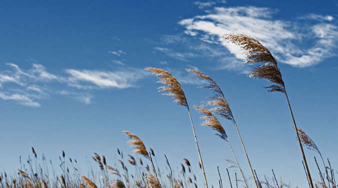
The pipeline remains active for quick-moving disturbances to trek across Colorado. Mountain snow is the main story this week, though gusty downslope winds across the lower elevations come in as a close second.
After a cold start to our week to end the month of December, the weather turns milder as we ring in the New Year. Don’t get too cozy…a return to winter-like temperatures will ensue during the latter part of the week. We also discuss the little bit of snow over the weekend which produced just enough to bump 2019 into Boulder’s top 5 snowiest calendar years.
Unseasonably warm conditions will continue for the next few days before cooler and unsettled weather arrives later in the week. We’re also watching a potential winter storm but the track remains uncertain at this time.
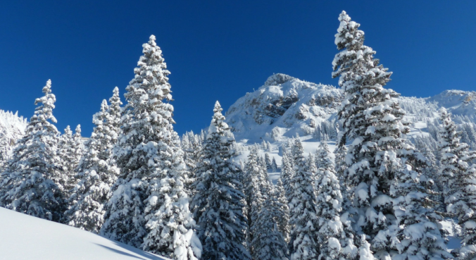
Skiers rejoice! A persistent influx of sub-tropical moisture associated with a developing atmospheric river event will bring a prolonged period of light to moderate snow to the Mountains in the coming days.
In the absence of any major storm systems approaching Colorado, this week will remain fairly quiet with primarily dry conditions. Temperatures will vary day-to-day however from the 30’s to the 50’s. We’re also watching a powerful jet that is expected to move overhead late in the week bringing widespread snowfall and blustery conditions to the Mountains.
A milder week is expected, but there is still plenty of snow on the ground to hamper our warm-up. We detail how warm we may get, along with the threat of gusty winds, light snow/rain showers, and what skiers can expect for the week ahead. Read on for more details.
© 2025 Front Range Weather, LLC
