


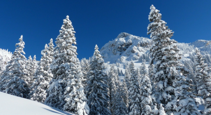
Skiers rejoice! A persistent influx of sub-tropical moisture associated with a developing atmospheric river event will bring a prolonged period of light to moderate snow to the Mountains in the coming days.
Category: Powdercast (Page 10 of 23)
Forecasts focused on the many ski resorts of NE Colorado.

In the absence of any major storm systems approaching Colorado, this week will remain fairly quiet with primarily dry conditions. Temperatures will vary day-to-day however from the 30’s to the 50’s. We’re also watching a powerful jet that is expected to move overhead late in the week bringing widespread snowfall and blustery conditions to the Mountains.

A milder week is expected, but there is still plenty of snow on the ground to hamper our warm-up. We detail how warm we may get, along with the threat of gusty winds, light snow/rain showers, and what skiers can expect for the week ahead. Read on for more details.
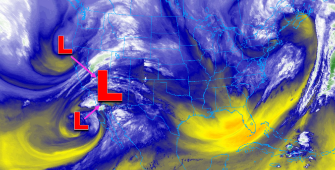
One thing is for sure, a prolonged period of cold and unsettled weather will take hold of the Front Range Wednesday morning into Friday. A mash-up of rain, snow, and freezing drizzle will intermittently impact the area during this timeframe. Overall precipitation rates will be light, but the long duration could lead to light snow accumulations by Friday morning. In this update, we talk tumbling temperatures, rain/snow/ice timing, and potential snow accumulations.
*PREMIUM* STORM UPDATE (7:00 AM Thu 11/21): Don’t be fooled by the lull in the action… There is still more light snow to come! READ HERE
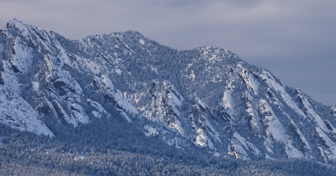
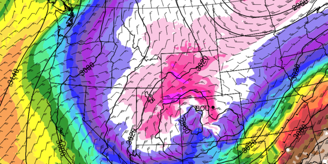
After a warm and breezy start to the week, the weather turns colder and very active as a series of cut-off low pressure systems merge over the western United States. This will bring the threat of rain and snow to the Front Range Wednesday through Friday. Read on for more details.
Enjoy the beautiful weather Sunday while you can! We are watching an approaching trough and Arctic cold front that will bring winter back to the area tonight and early Monday. In this forecast update, we discuss when you can expect the front and the change-over from freezing drizzle to snow. We also provide our snowfall forecast map.
Continue reading
There’s no rest for snow-lovers these days! Just as one snowstorm comes to an end, another one is already taking shape to impact the Front Range Tuesday into Wednesday. We take a look at snow totals from the first wave and discuss the evolving forecast for part deux!
UPDATE (7:00 PM Mon 10/28/19): Added our official snowfall forecast map to the end of the post!
PREMIUM UPDATE (7:00 AM Tue 10/29/19): We do a quick check on how the forecast looks this morning as snow begins to fall and bitter cold temperatures push in from the north. Click HERE to read.
The week ahead will be mainly dry, but temperatures will be up one day and down the next. We’re also watching a series of Pacific storm systems late in the week that will bring snow to the Mountains and possibly the Plains as well over the weekend.

Live View of Boulder

Current Conditions

Live Radar
Latest Smoke Forecast

Recent Premium Posts

BoulderCAST Daily – Sat 07/11/26 | Here comes the heat!
🥵 Heat start today: Upper 90s start today and continue well into next …
BoulderCAST Daily – Fri 07/10/26 | The heat builds into the weekend
⛈️ Storms around today: A weak impulse of energy favors some isolated storms …
BoulderCAST Daily – Wed 07/08/26 | The Front Range Has Broken Out of the Haze — Storms Fire After Noon
🌬️ Smoke has (mostly) cleared out: Westerly flow pushed the thick plume south/east, …
3-Day Forecast

Trending Content



© 2026 Front Range Weather, LLC