


A series of subtle weather shifts will shape the upcoming week along the Front Range, beginning with a return to warmer temperatures and a brief interruption of monsoonal moisture. A midweek frontal passage then reintroduces instability, moisture transport, and an uptick in storm coverage — including the potential for some severe cells. Heat will rebuild late week as the ridge re-strengthens over the area, before another likely resurgence of monsoonal flow enters the discussion for next week. Read on for all the details.
Category: Monsoon (Page 4 of 20)
After weeks of sizzling heat and hydrological disappointment, a deep surge of monsoon moisture is pushing into the Front Range today, with precipitable water values approaching 200% of normal and a highly efficient rainfall environment already in place. Satellite imagery and overnight boundary interactions are signaling an active convective day ahead, with both severe and flooding hazards on the table Thursday. Monsoon storm chances will progressively decrease but ultimately stick around through the weekend alongside below normal temperatures. We dive into the forecast specifics, including the monsoon moisture transport, mesoscale boundaries, severe and flood risk, expected rainfall amounts, and how the weekend will play out as subtropical moisture slowly retreats.


As we kick off the week, the Front Range is staring down a few more days of stubborn August heat — but that pattern is about to crack. A midweek shift will pull cooler air, deeper monsoon moisture, and widespread storms back into Colorado, including a real shot at heavy rainfall. After weeks of haze, heat, and bone‑dry afternoons, the atmosphere finally looks ready to turn the page. We break down what this transition means for the Boulder-Denver area, and how long the cooler, wetter pattern is poised to stick around.
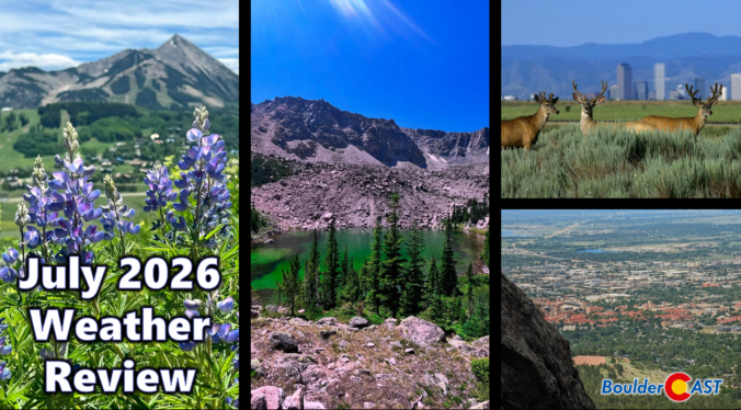
July 2026 along the Front Range was relentlessly hot, dry, and devoid of storms, dominated by stubborn upper‑level ridging that fueled long, punishing heatwaves and pushed Denver and Boulder into one of their hottest months on record. Occasional pulses of monsoonal moisture did break through, producing slow‑moving thunderstorms and localized flash flooding near vulnerable burn scars, while wildfire smoke from the West periodically dimmed skies and degraded air quality early in the month. With meaningful rainfall largely absent, Colorado’s severe drought deepened, cementing a July defined far more by heat and haze than by the usual rhythm of afternoon thunderstorms.
Here’s a graphical look at how July 2026 unfolded across Boulder, Denver, and the Front Range — and how it compared to climatology.
A blistering heat wave will end with one of the more dynamic forecast days we’ve seen all summer. From potentially record‑setting triple‑digit heat to a late‑day cold front, gusty virga showers, and a thick wall of wildfire smoke set to drop into the Front Range tonight, Monday packs an unusually busy mix of weather hazards and changes. We’ll walk you through the timing, the impacts, and the brief but welcome multi-day cooldown ahead — plus why the heat dome isn’t done with us yet. We also look ahead to when the monsoon could return.
Live Radar

Trending Content


Recent Premium Posts

BoulderCAST Daily – Wed 11/11/26 | Mild Days Ahead, But There Are Signs of a More Active November Soon
☀️ Warm & Quiet — Sunshine dominates through Thursday with highs rising from …
BoulderCAST Daily – Tue 11/10/26 | Clouds Increase Today, But Colorado’s Dry Pattern Rolls On
🌤️ A Few More Clouds Today – Mountain wave clouds are developing along …
BoulderCAST Daily – Sun 11/08/26 | Mild November Weather Continues, Even With A Cold Front Midweek
☀️ Sunny and warm for early November – Temperatures in the middle to …
© 2026 Front Range Weather, LLC