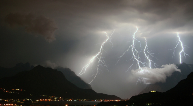
As you know, thunderstorms are usually a staple of summer in Colorado! Almost every day, monsoon moisture boils up into dark early afternoon clouds, some of which produce deadly cloud-to-ground lightning. We briefly review a few statistics and remind you that Colorado is ranked near the top of the list for lightning-related fatalities for a reason.
Category: Learn Front Range Weather (Page 2 of 3)
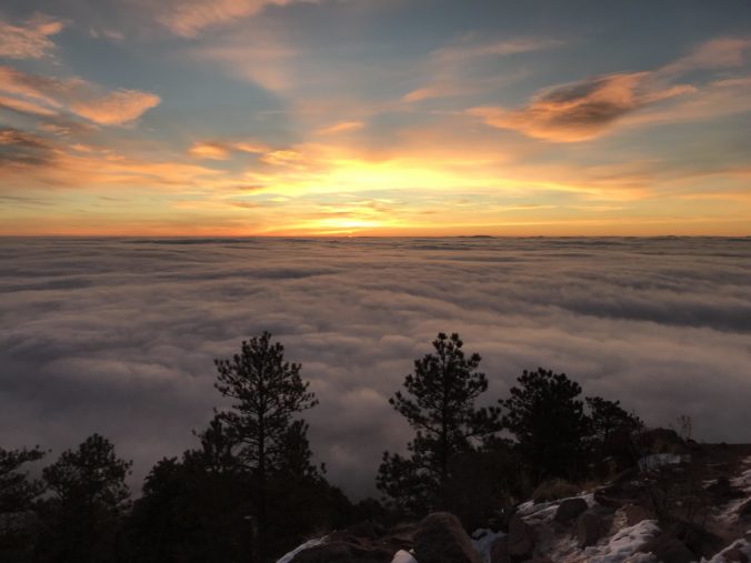
Not surprisingly, many of you are outdoor-oriented and we get asked this question a lot. If you look out the window and see low clouds or fog blanketing your area, there is a decent chance that some or all of the peaks just west of town are soaking in the sun, but not always. We walk you through the process of how to determine the elevation of the top of the cloud deck and how it relates to the hiking options near Boulder and Denver.
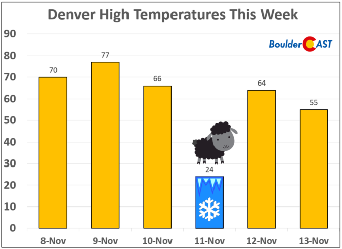
From record warmth over the weekend, to snow and bitter cold on Veterans Day, to the rebound back into the 60’s just one day later…it’s been quite a wild week in Colorado weather. We explain why Monday’s cold temperatures have joined rare company in Denver’s historical record. The reason may surprise you.
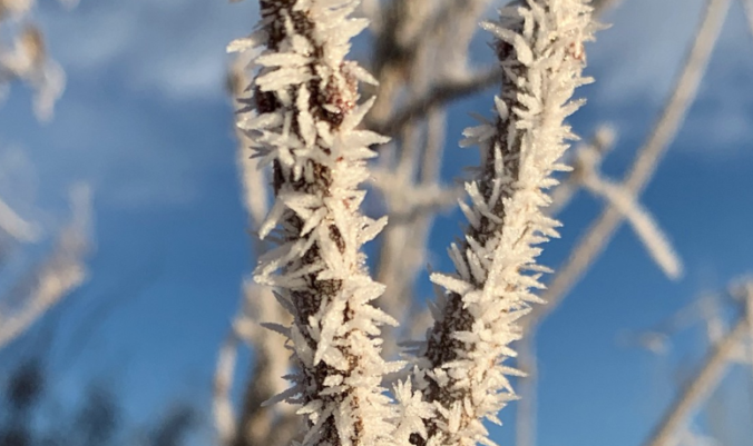
This week’s weather quiz topic examined the cause of the glaze of ice that formed on the trees on February 27th. Read on for some background information, the quiz results, and a deep dive into the answer.
This week’s weather quiz topic was snowfall forecasting. Read on for some background information, the quiz results, and a deep dive into the answer. Continue reading
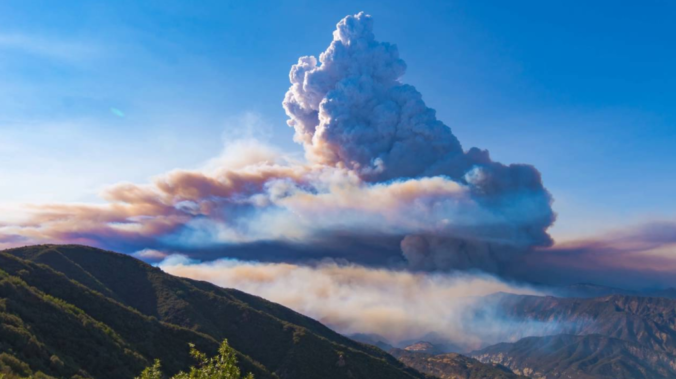
There has been a dramatic drop in visibility and air quality across Colorado as smoke from several large wildfires burning in California and Oregon moved in on Wednesday. We discuss the smoke’s path to get here, how many acres have burned so far in 2018, and the potential weather impacts wildfire smoke can have.
© 2026 Front Range Weather, LLC

