
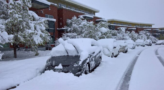
A slow-moving winter storm will impact the Front Range Tuesday through Thursday bringing accumulating snow and bitter cold temperatures to the entire area. We expect the most snow to fall in the city of Boulder and nearby Foothills with lower amounts in Denver. Nonetheless, travel impacts will be widespread and temperatures will bottom out below zero as the storm pulls away on Thursday. Let’s talk timing and look at our snowfall forecast map.
Premium Storm Update (2/1/22 7:00AM): Overnight model runs have increased our confidence that higher-end snow totals will occur with this system. Thus we are bumping up snow amounts a tad across the area. We discuss the model changes and some things that still need to be watched closely as the snow begins Tuesday afternoon. READ HERE