Category: Forecast (Page 51 of 169)
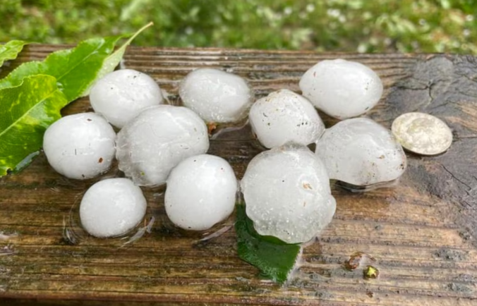
June 2023 dropped more than 5″ of rain on Boulder for the second straight month, concluding as the 4th wettest June since the late 1800s. Temperatures ended up nearly 4°F below normal as well, including a monthly minimum temperature of 42°F which occurred in the middle of the afternoon on June 12th as several inches of small hailstones lay melting on the ground. Other Front Range headlines in June included minimal Canadian wildfire smoke, the Highlands Ranch EF1 tornado, and the pummeling of giant hail at Red Rocks. Here’s a quick and colorful graphical recap of our weather during June and how it relates to climatology.
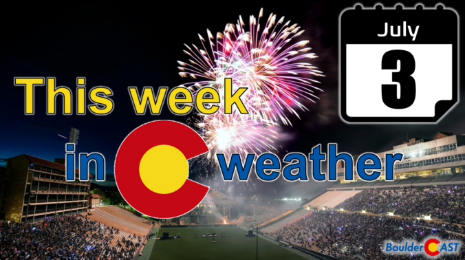
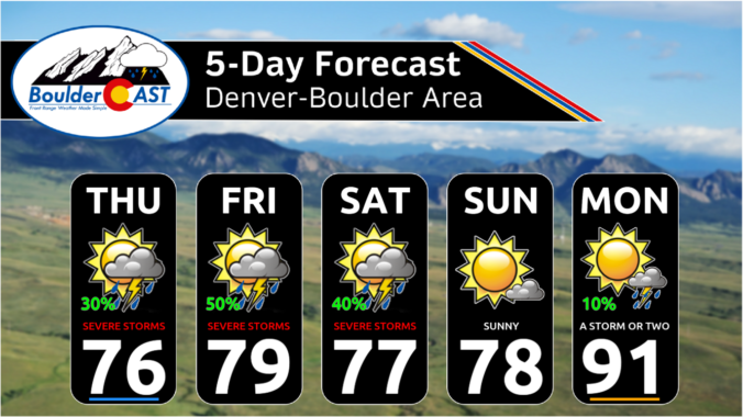
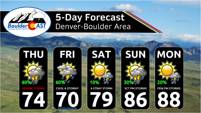
After a hot and dry Monday, the rest of the week ahead will see cooler and stormy conditions unfold across the Front Range, the the focus centered on another damaging hail outbreak on the Fourth of July holiday. Much cooler weather arrives Wednesday with at least one cold-related historical record up for grabs. The Southwest monsoon remains delayed with little hope of it arriving anytime soon. Let’s take a look at yet another active week in Colorado weather!
This last full week of June will feature hot temperatures to start followed by a cooldown late-week along with increasing chances of showers and storms. Ridging will largely be in place early on, but an approaching low pressure system and cold front will return us to more unsettled conditions by week’s end. There will also be some gusty winds Tuesday for raising marginal fire concerns. Read on for all the details.
Yesterday was absolutely wild across essentially all of eastern Colorado as dozens of supercell thunderstorms slammed the region with widespread damaging hail and flooding rains, while up to a dozen tornadoes touched down on the far eastern Plains. Fortunately, Mother Nature’s encore performance of severe weather on Thursday isn’t expect to be quite as bad, but the risk remains relatively high again for damaging hail and locally flooding downpours in the Front Range. Let’s dive in! (yes, that was a pun)
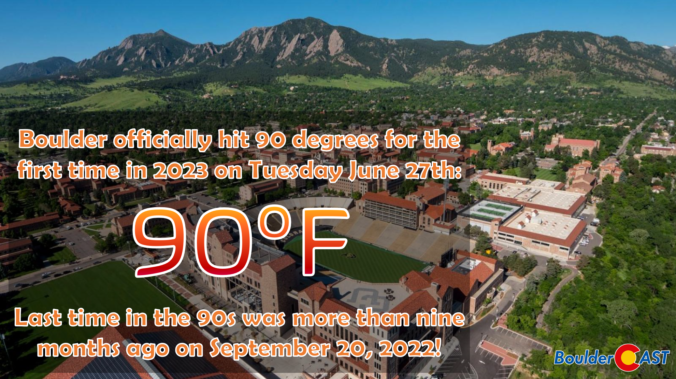
Whether you like it or not, Front Range Colorado has finally turned a corner on the cool and soggy weather lingering across the area the last few months — just in time for the first day of summer on Wednesday! While the week ahead will offer a few chances for rain, and even some severe storms at times, the overall trend heading into the end of June will be towards drier and hotter weather. Let’s take a look!

Live View of Boulder

Current Conditions

Live Radar

Latest Smoke Forecast

Recent Premium Posts

BoulderCAST Daily – Tue 07/14/26 | The Front Range Continues to Bake Under Expansive Ridge
🔥 Heat streak continues — Boulder hit 97°F for the third time in …
BoulderCAST Daily – Sun 07/12/26 | Hot weather for a good chunk of the coming week
🥵 🔥 Heat for a good chunk of the week: Upper 90s through …
BoulderCAST Daily – Sat 07/11/26 | Here comes the heat!
🥵 Heat start today: Upper 90s start today and continue well into next …
3-Day Forecast

Trending Content

© 2026 Front Range Weather, LLC