


We often include at least some discussion in our wintry forecasts about snow-to-liquid ratios. In this post, we explain what they are, why they matter, and examine the historical snow ratio record for Front Range Colorado.
Category: Forecast (Page 151 of 198)
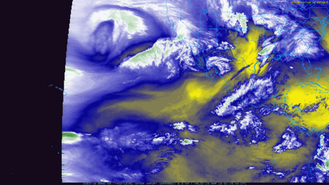
As we mentioned in our weekly outlook, a true atmospheric river event is underway, pumping deep tropical moisture into the southwestern United States right now! The moisture influx will mainly be impacting California and Nevada, but Colorado won’t escape totally unscathed. Plus we take a look ahead to a soggy/snowy forecast for early next week.
Following yesterday evening’s rain and snow, the week ahead will turn much quieter, including another warming trend with highs pushing back into the 70’s later in the week. We detail the week ahead, as well as the time-frame when our next snowstorm may occur.
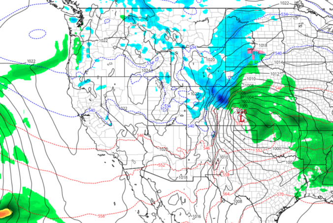
Another spring storm will be impacting the entire state of Colorado Sunday afternoon into Monday. For the Front Range, the forecast over the next 24 hours includes thunderstorms, soaking rain, and accumulating snow. Read on to find out when we expect rain to change-over in your location and for our snowfall forecast map with potential amounts.
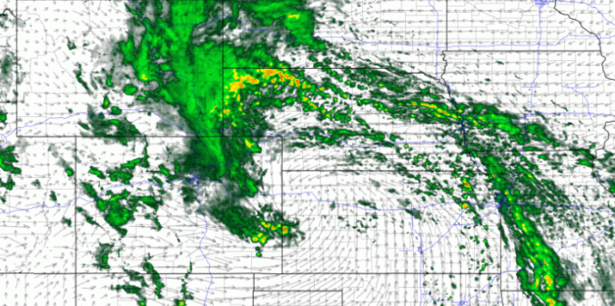
Read our brief recap of Thursday’s rain, snow and lightning. We also discuss our thoughts on a potential wintry event Sunday into Monday.
Premium Storm Update (Thu Mar 15 at 12:30 PM) A wetter evening than expected? We provide a brief storm update as the latest round of models bring heavier precipitation slightly further south.. READ NOW
—
A quick-hitting storm system will provide the brief chance of rain, snow, and thunder to the region Thursday afternoon and evening. Read on as we detail the storm specifics.
Live Radar

Trending Content


Recent Premium Posts

BoulderCAST Daily – Tue 11/10/26 | Clouds Increase Today, But Colorado’s Dry Pattern Rolls On
🌤️ A Few More Clouds Today – Mountain wave clouds are developing along …
BoulderCAST Daily – Sun 11/08/26 | Mild November Weather Continues, Even With A Cold Front Midweek
☀️ Sunny and warm for early November – Temperatures in the middle to …
BoulderCAST Daily – Sat 11/07/26 | A Pleasant Weekend With Dry Weather For a While…
☀️ Sunny and Pleasant – Highs in the lower 60s this afternoon trend …
© 2026 Front Range Weather, LLC