


Category: Forecast (Page 114 of 169)
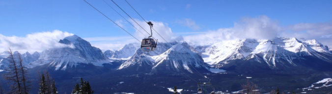
Though MLK Day will begin rather mild and pleasant, a storm is heading this way! Rain and snow showers will develop later this evening across the Front Range and continue overnight into early Tuesday. We discuss the timeline for the storm, potential snow amounts, and where blizzard conditions will be possible Monday night.
PREMIUM STORM UPDATE (Monday Jan 21 at 3:00 PM): A quick check on the latest models runs and what it means for the forecast. Read HERE.

Overall mild temperatures will be present this week across the Plains under a mixture of clouds and sunshine. The Mountains will see more snow starting Tuesday night and continuing off and on through Friday. We also detail a return to cold and a chance of snow come Friday.
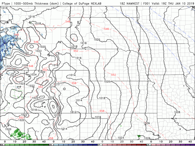
Mother Nature never disappoints us! Just when it looks like another quiet weather-week in Colorado, snow is on the horizon! We talk timing, amounts, and model uncertainty for wet snow beginning Friday morning. Read on for details.
UPDATE (FRIDAY 6AM): We are seeing better agreement among the models this morning. Better, but still not great. We have increased snow totals slightly and that is reflected in our included snowfall map.
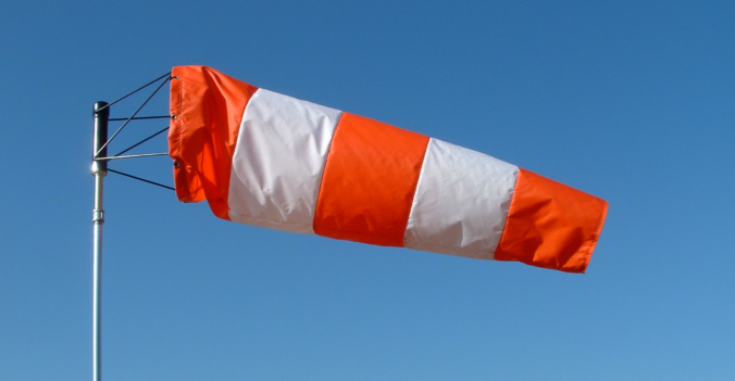
While the upcoming week will feature dry conditions and warm temperatures by January’s standards, the primary concern will be the very strong bora wind event making for dangerous travel at times on Monday west of Interstate 25. Read on for our full outlook of the upcoming week.
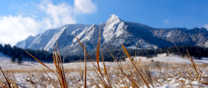
This shortened first work-week of 2019 will feature a return to mild temperatures along with lots of sunshine. You won’t believe how warm it is going to be on Friday and Saturday! Only over the weekend do clouds and the next chance of snow return to Colorado.
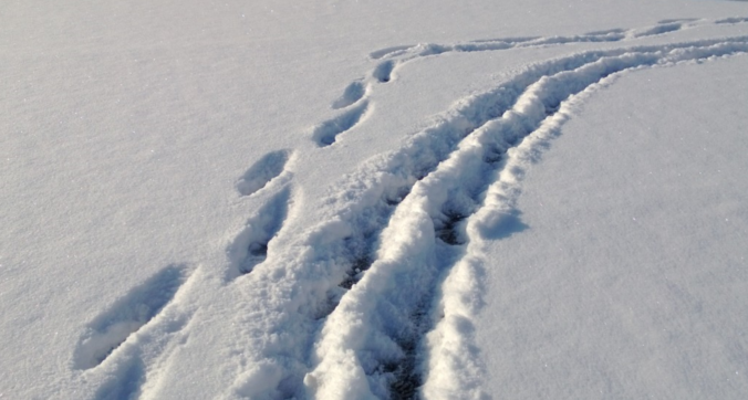
We hope you had a great New Year’s Eve and managed to stay warm! Despite snow falling for more than eightteen hours straight in many locations, it didn’t add up to all that much, or overly impact holiday travel. We review the snow totals from across the Front Range and when the bitter cold will break.

Live View of Boulder

Current Conditions

Live Radar
Latest Smoke Forecast

Recent Premium Posts

BoulderCAST Daily – Fri 07/17/26 | Hot and dry continues through the weekend
🥵 Heat tightens its grip this weekend — Ridge strengthens slightly over the …
This Weekend in Colorado Weather: Several More Scorching Days Ahead Before the Long‑Awaited Monsoon Pattern Arrives
☀️ Persistent heat continues — Low to mid‑90s through Saturday, spiking towards the …
BoulderCAST Daily – Wed 07/15/26 | The Ridge Rules the Rockies as Hot, Dry Pattern Holds Firm
🔥 Heat dome setup continues — A strong, stationary 500 mb ridge keeps …
3-Day Forecast

Trending Content



© 2026 Front Range Weather, LLC