


Category: Fire Weather (Page 22 of 38)


The story since late last week has been the infiltration of smoke into the Front Range from distant but numerous Canadian wildfires. That trend will unfortunately continue early in the week with light to moderate smoke sticking around through at least Tuesday or Wednesday leading to degraded air quality. Fortunately, the pattern will shift midweek whisking away the smoke and changing the headlines to rain and thunderstorms for a few days. Let’s take a look at what is sure to be another interesting week in Colorado weather!
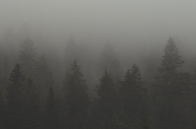
Wildfire smoke roared into the Front Range late Thursday night like a freight train — well if those were somehow silent and made up of tiny cancer-causing particles! Air quality and visibility have both tanked across the entire Denver Metro area as a result. Yuck! We discuss where all this smoke is coming from and when it may actually clear out.
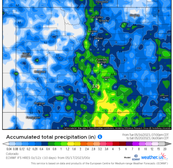
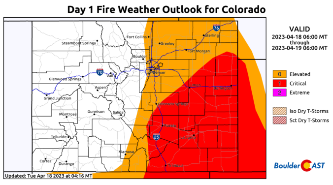
The week starts off rather warm under increasingly strong southwest flow aloft. This will culminate in elevated fire danger on Tuesday with dry and gusty winds in place. The mid to late week period will turn unsettled and much colder with a series of low pressure systems and cold fronts lining up that will bring at least two chances for Front Range rain and snow during the period. Read on for more details.
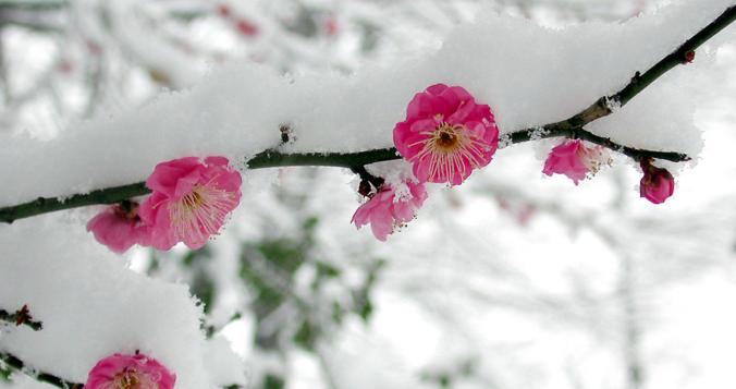
We hope you enjoyed the taste of summer as temperatures soared into the 70s and 80s the last several days because we will be paying for that warmth in short order as much colder temperatures and snowflakes take over the Front Range to end the week. A tricky forecast is set to unfold over the area Friday into Saturday with rain changing to wet spring snow for everyone. Up to 10″ could fall in the higher Foothills communities with even slushy accumulations on the table for the Denver-Boulder area. Let’s discuss the latest on the approaching winter storm.


Live View of Boulder

Current Conditions

Live Radar

Latest Smoke Forecast

Recent Premium Posts

BoulderCAST Daily – Wed 08/26/26 | Front Range Braces for a Few Severe Storms with Large Hail Today
🌩️ Severe storms possible — We’re still looking at scattered thunderstorms developing later …
BoulderCAST Daily – Tue 08/25/26 | Cooler with More Run-of-the-Mill Storms Today, But Big Hail Could Be an Issue Tomorrow
🌤️ Monsoon flow persists under a record-strong New Mexico ridge, keeping moisture aimed …
BoulderCAST Daily – Sun 08/23/26 | Another day of scattered afternoon storms, but with better air quality
☀️ Temperatures hover in the lower 90s today and through much of the …
3-Day Forecast

Trending Content



© 2026 Front Range Weather, LLC