Category: BoulderCAST Daily (Page 56 of 465)

This page contains an index of our BoulderCAST Daily forecast updates. If you are NOT a Premium member, you will only see a tiny sample of this content below. Subscribe to BoulderCAST Premium to gain access to all of our daily forecasts which get published every morning.
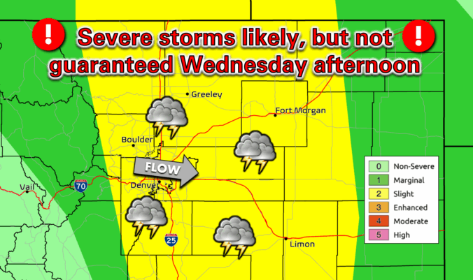
Premium BoulderCAST Daily – Wed 07/23/25 | Locally heavy rain expected as slow-moving storms bubble this afternoon and evening

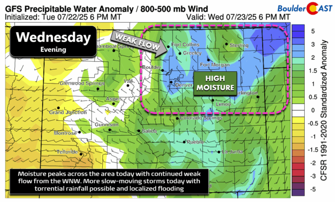
After yesterday’s underwhelming rainfall—just a trace to a few hundredths of an inch around Boulder—we’ve got another shot today and again tomorrow. Monsoon moisture is still elevated, and tonight we’ll see precipitable water values spike to nearly two standard deviations above average. With weak winds aloft from the west-northwest, the setup once again favors slow-moving storms that could drop heavy rain …

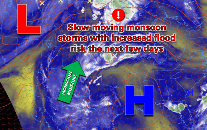
BoulderCAST Daily – Tue 07/22/25 | Slow-moving monsoon storms may cause localized flooding through midweek

Moisture from the subtropics—yep, the good ol’ summer monsoon—is surging north into Colorado this week. A favorable setup is taking shape: strong high pressure is parked over the Gulf Coast while a stubborn trough lingers in the Pacific Northwest. The flow between these two systems is coming straight up from the south, loaded with moisture and sprinkled with embedded shortwaves. …

Premium BoulderCAST Daily – Sun 07/20/25 | Rain chances lessen but pick up this coming week

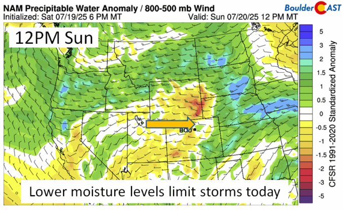
Very dry air at mid-levels builds in from the west today. That should favor less storm chances at about 10% or so, and also more sunshine with highs in the lower 90s. The storm chances today, although on the lower end, will creep back up this coming week. Each day from the GEFS model shows a storm chance, all from …

Premium BoulderCAST Daily – Sat 07/19/25 | Less smoky haze and a severe risk

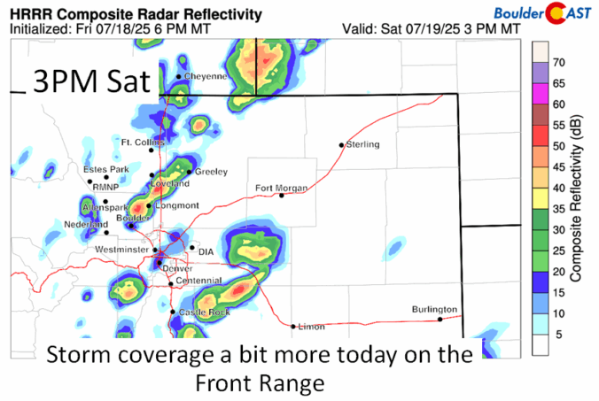
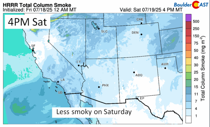
You should see a noticeable improvement in surface wildfire smoke from fires this afternoon. The HRRR shows ground-level smoke lessening today with more favorable flow to mix out and disperse the lingering smoke. The haze will still be around, but at much lower levels. Highs should once again be in the lower 90s, so another hot one. This will be …

Premium BoulderCAST Daily – Fri 07/18/25 | Monsoon moisture keeps storm chances in the forecast

Monsoon moisture will remain in place today through the weekend, keeping storm chances in the foreast. Although, if you look at the GEFS ensemble below, you'll notice not many members are in the "wet" category. That means that while storms will be in the forecast, much of us will stay dry. Storm chances today are around 20-30%, with best chances …

Premium This Weekend in Colorado Weather: Monsoon moisture keeps storm chances around as our temperatures inch upward

Today is starting out with a very similar look and feel to yesterday in the Front Range, but we promise, the eventual outcome of today will be quite different. Low clouds, fog, urban pollution and smoke are making for quite the gross scene across the lower elevations this morning. The view looking west from Boulder is not enjoyable in the …

Premium BoulderCAST Daily – Wed 07/16/25 | Severe weather outbreak likely across the Front Range today

Both anticipated weather changes for our area have arrived overnight and are conveniently visible from the same east-facing Eldora webcam timelapse this morning. Yes, we're of course talking about the moist cold front from the northeast that blew in around 3AM, which has spawned low clouds and patchy fog across the lower elevations, and the influx of lofted wildfire smoke …

« Older posts Newer posts »