Category: BoulderCAST Daily (Page 57 of 465)

This page contains an index of our BoulderCAST Daily forecast updates. If you are NOT a Premium member, you will only see a tiny sample of this content below. Subscribe to BoulderCAST Premium to gain access to all of our daily forecasts which get published every morning.
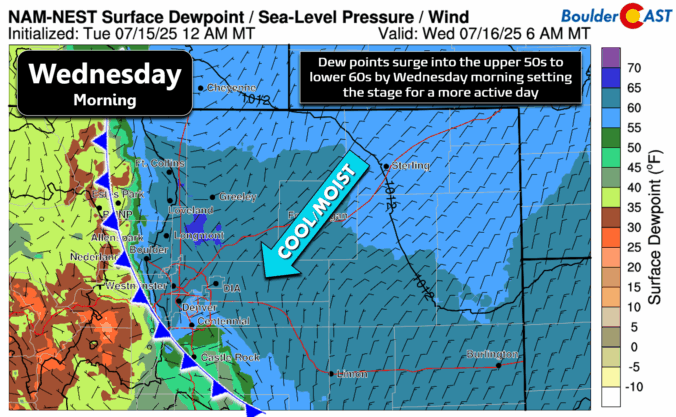
Premium BoulderCAST Daily – Tue 07/15/25 | Hot and mostly dry today, wildfire smoke and a cold front blow in tonight

We’re still sitting under the influence of high pressure to our west today, but a weather system moving in from the northwest is knocking on the northern Rockies’ door — and it's set to stir things up over the next few days. This morning, skies are crystal clear over the Front Range, thanks to a batch of dry air overhead. …

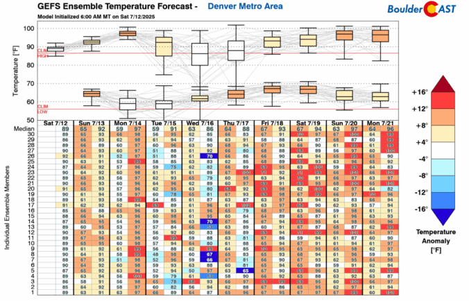
Premium BoulderCAST Daily – Sun 07/13/25 | Dry with mostly upper 80s

Rain and storm chances will again remain limited for this Sunday afternoon and evening. We will see warmer highs in the upper 80s to some locales touching 90 degrees. While we cannot rule out a stray storm, most activity will reside in the Foothills and High Country. That said, if you are planning to go hike, start early to avoid …

Premium BoulderCAST Daily – Sat 07/12/25 | Less rain chances this weekend

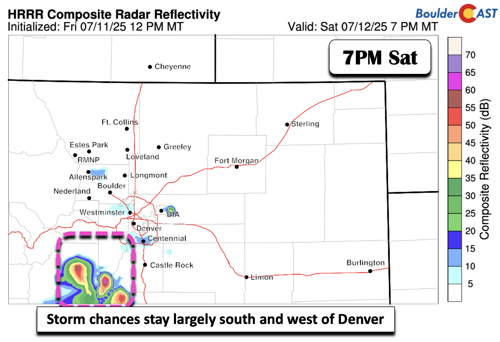
Storm chances lessen today and tomorrow as the mid-level flow turns northerly and shunts the deeper moisture to the south and west over the Four Corners area. As a result, the best chance of storms today and tomorrow will be south and west of Denver, as shown below in the HRRR. Easterly flow at the surface will favor highs in …

Premium BoulderCAST Daily – Fri 07/11/25 | Scattered to numerous showers and storms later today and this evening

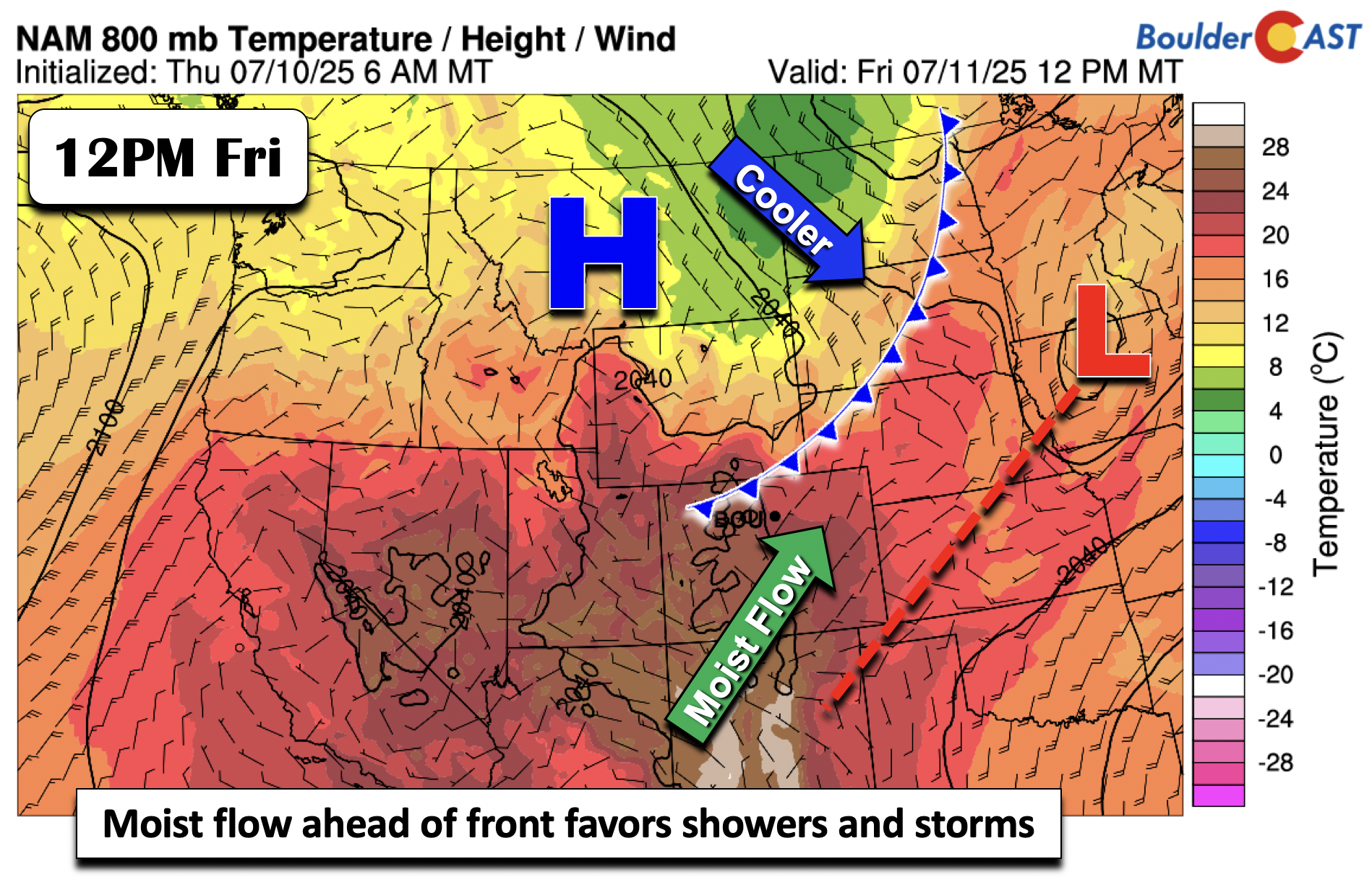
Anomalous moisture will be in place today ahead of a southeastward moving trough at the mid-levels of the atmosphere. Precipitable water values will approach values of 1.25", well above average for July. Our high temperatures will top out in the upper 80s ahead of a cold front that is slated to move through this afternoon and evening, shown below. As …

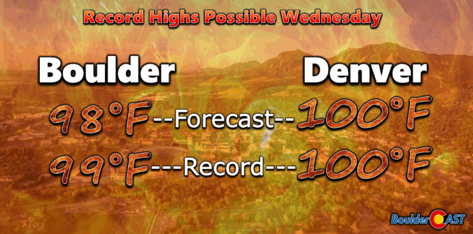
Premium BoulderCAST Daily – Wed 07/09/25 | Flirting with record heat on Wednesday, but the cooldown begins tomorrow

Astrong high-pressure ridge is dominating the Four Corners region this morning, centered over east-central Arizona. It's driving a very dry and subsident air mass across Colorado, setting the stage for near-record heat this afternoon and evening. Unlike our heatwave back in the middle of June, models have been remarkably consistent for several days, locking in today’s heat potential well in advance. …

Premium BoulderCAST Daily – Tue 07/08/25 | High pressure turns up the heat the next few days

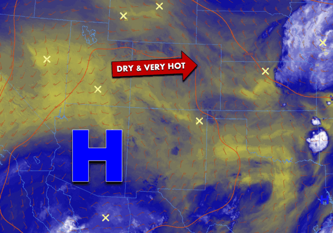
Astrong high-pressure system is gradually shifting northeast from the Desert Southwest, bringing with it a surge of hot, dry, and stable air. As of this morning, the core of the ridge is centered over southern Arizona, and that distinct dry pocket is clearly visible on the GOES-East satellite. As this system inches closer to Colorado, expect our temperatures to steadily …

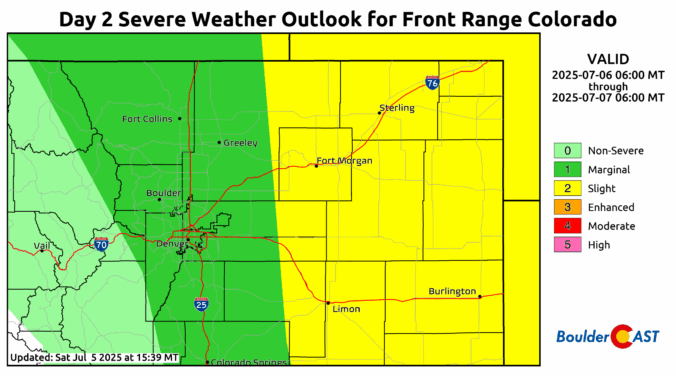
Premium BoulderCAST Daily – Sun 07/06/25 | Severe Risk Today, mainly east of Denver

Asevere risk is in place this afternoon and evening. Much of the guidance is indicating a strong bow echo developing across eastern Colorado and western Kansas/Nebraska. This is evident below from the HRRR model around 5 PM. The good news is that it appears the severe risk will be mainly to the east of Denver and Boulder. Certainly the storm …

« Older posts Newer posts »