Category: BoulderCAST Daily (Page 58 of 465)

This page contains an index of our BoulderCAST Daily forecast updates. If you are NOT a Premium member, you will only see a tiny sample of this content below. Subscribe to BoulderCAST Premium to gain access to all of our daily forecasts which get published every morning.
Premium BoulderCAST Daily – Sat 07/05/25 | More scattered activity this afternoon and evening

More scattered storm activity is expected this afternoon and early evening as a system to our north tracks east-northeast into the northern Great Plains. Activity will peak in the late afternoon and die down by mid to late evening. A few storms will be capable to strong gusty winds. High temperatures will reach the upper 80s prior to storm activity. …

Premium BoulderCAST Daily – Fri 07/04/25 | Morning pockets of showers give way to isolated storm activity later for the 4th

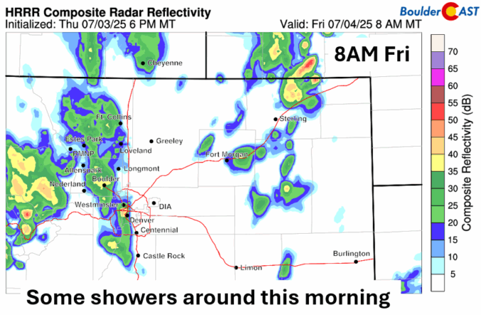
Apocket of showers will be around into mid-morning over the Front Range tied to a mid-level trough that will be tracking northeast towards Nebraska and Kansas later today. These showers will be moving out by late morning at the latest. High temperatures once sunshine breaks out should be in the upper 80s. As the trough shifts east this afternoon and …

Premium BoulderCAST Daily – Wed 07/02/25 | Driest day of the week with return of the 90s

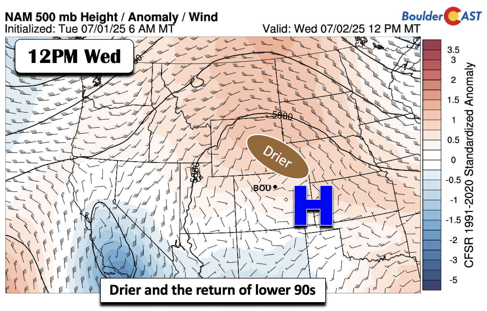
Drier air filters in today as high pressure slides westward. Easterly flow at the mid-levels will shunt the moisture across Utah and western Colorado. As such, we will be bone dry today, along with plentiful sunshine and the return of the 90s. Our highs will top out in the lower 90s in most locales. While today will be dry, storm …

Premium BoulderCAST Daily – Tue 07/01/25 | Monsoon moisture favors isolated storms today

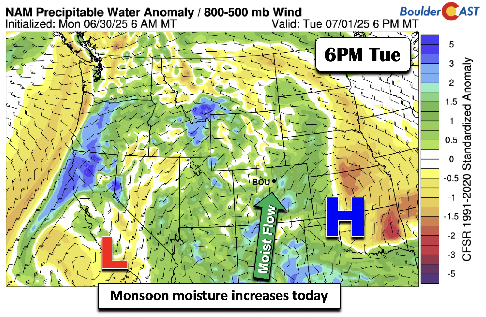
Monsoonal moisture will increase today with the combination of low pressure over southern California and high pressure over western Oklahoma. The result will be precipitable water values some 1 to 2 standard deviations above normal. However, the flow aloft is fairly weak, such that any storms that develop will be slow to materialize. Energy is also not that impressive, such …

Premium BoulderCAST Daily – Sun 06/29/25 | Severe storms may fire Sunday afternoon along an uncertain cold front

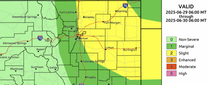
So, what’s the plan for today’s weather along the Front Range? Honestly—it’s a bit of a mixed bag. Forecast models aren’t exactly in sync right now, so we’re watching a few key ingredients that could shape how this afternoon and evening unfold. Top of that list: a cold front currently stalled out over northern Colorado. This front is expected to …

Premium BoulderCAST Daily – Sat 06/28/25 | Hot & dry Saturday, still some questions regarding tomorrow’s cold front

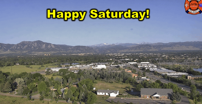
It's a beautiful Saturday morning in Boulder out there! Today’s weather will stick pretty closely to what we saw yesterday—hot and mostly dry. A strong ridge of high pressure remains locked in over the Four Corners region, keeping our skies relatively quiet through Sunday morning. But farther north, near the Canadian border, a disturbance is on the move. As it …

Premium BoulderCAST Daily – Fri 06/27/25 | Near 90 with patchy high-based convection late in the day

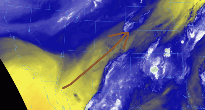
The warm and dry pattern holds steady today as a ridge of high pressure continues nudging into the region from the south and west. Water vapor satellite imagery from GOES-East paints a clear picture: a band of dry air is streaming into Colorado from the Southwest, with even drier air queued up over Baja and the surrounding deserts there. That …

« Older posts Newer posts »