Category: BoulderCAST Daily (Page 55 of 465)

This page contains an index of our BoulderCAST Daily forecast updates. If you are NOT a Premium member, you will only see a tiny sample of this content below. Subscribe to BoulderCAST Premium to gain access to all of our daily forecasts which get published every morning.
Premium BoulderCAST Daily – Fri 08/01/25 | Smoky skies and less storms

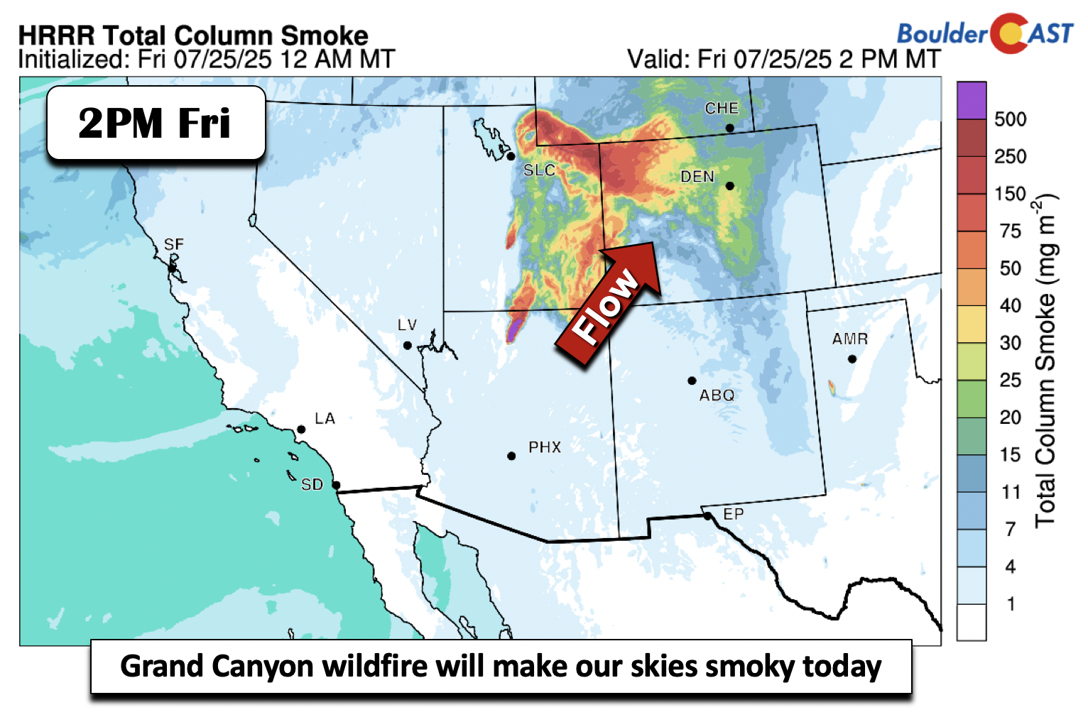
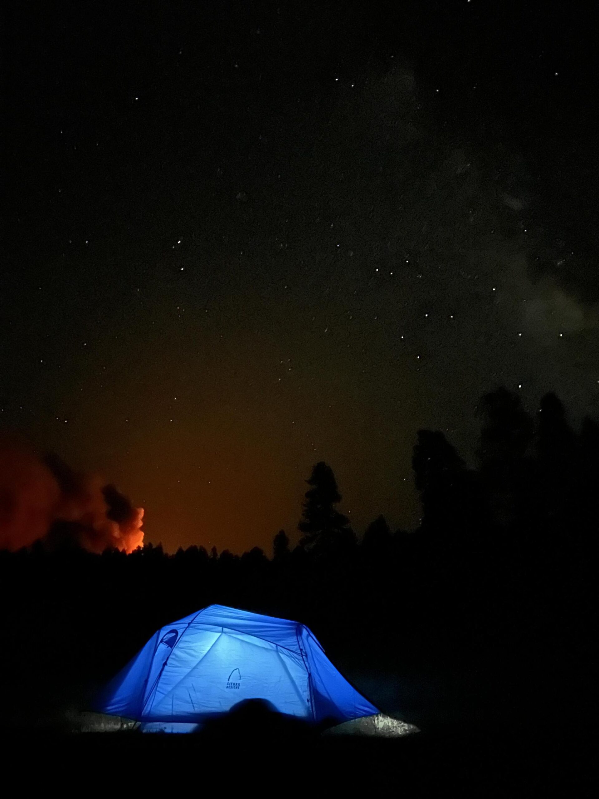
Smoky skies will persist and get worse today as wildfire smoke from Utah and Arizona rages northeast into the state. The total column smoke values, above at least 50 mg/m2, cover nearly all of Colorado today. Don't expect any improvement in air quality unfortunately. Below shows a picture of the fire in the distance at night, courtesy of InciWeb, from …

Premium This Weekend in Colorado Weather: Severe storms Thursday give way to a drier and hotter weekend ahead with lingering smoke

Patchy low clouds and wildfire smoke have settled across much of Colorado this morning. Checking the latest visible satellite imagery below you’ll notice just how widespread that smoke is—yep, it’s covering the entire state. Even with the smoke overhead, we're expecting plenty of sunshine to break through, bumping up temps a few degrees. Highs should hit the low 80s, which …

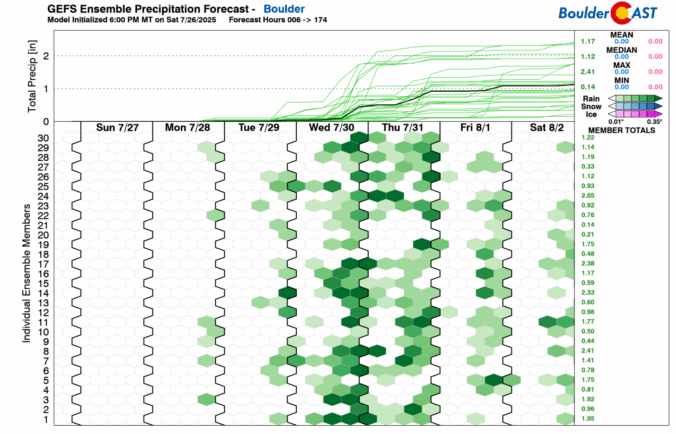
Premium BoulderCAST Daily – Tue 07/29/25 | Much cooler today with extensive clouds and a chance of storms

Boulder baked under the sun Monday, hitting 99°F—just one degree shy of breaking a record that’s been standing since the 1940s. Most spots along the Front Range's lower elevations landed in the upper 90s, while the Foothills managed slightly cooler temps in the 80s. A few northeastern communities even cracked the triple digits. Thankfully, the intense heatwave is already behind …

Premium BoulderCAST Daily – Sun 07/27/25 | It’s a Hot One

Today starts a string of hot weather in the upper 90s over the Front Range. A strong and anomalous ridge of high pressure at mid-levels will gradually spill westward from the East Coast and Midwest. These conditions will also be met with little or no chance of rain. The heat will not be prolonged as we have a frontal boundary …

Premium BoulderCAST Daily – Sat 07/26/25 | Turning hot

Atrough to our northwest will track into Wyoming later tonight. Normally, a trough with energy overhead will bring a good chance of unsettled weather. However, a fairly decent southwest flow of 20-35 mph at mid-levels will promote downslope drying and warming over the Plains. Not only will that limit overall storms, but will turn us hot in the 92-94 degree …

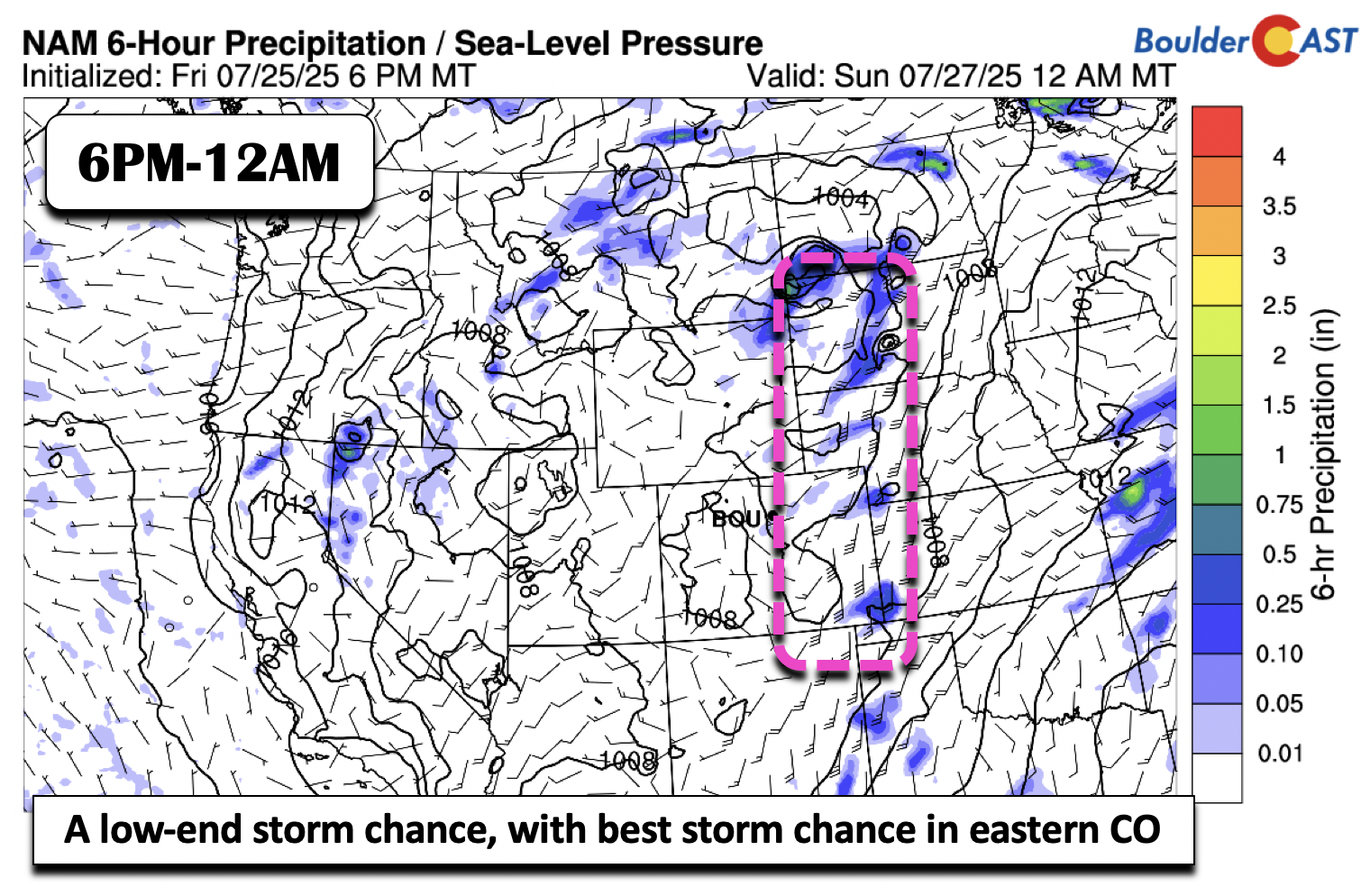
Premium BoulderCAST Daily – Fri 07/25/25 | Smoky skies end the week

Smoky skies will return to the Front Range today as a Grand Canyon wildfire brings its smoke to the region. While the flow is not directly from the southwest, it is just enough of a favorable pattern to bring these hazy and reduced air quality conditions to the Front Range. These smoky conditions could last into part of the weekend …

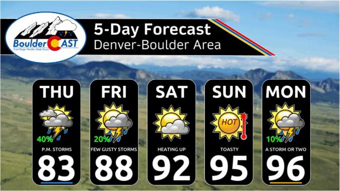
Premium This Weekend in Colorado Weather: One final chance at soaking monsoon storms on Thursday before a heat dome takes over this weekend

Today’s our last real shot this week to squeeze some action out of that juicy monsoon plume that’s been draped over Colorado since Tuesday. Unfortunately, the Boulder–Denver corridor hasn’t gotten much out of it—just enough rain in some spots to smudge the dust. On the other hand, southeast Denver, the Palmer Divide, east Greeley, and Fort Collins managed decent totals …

« Older posts Newer posts »