Category: BoulderCAST Daily (Page 22 of 465)

This page contains an index of our BoulderCAST Daily forecast updates. If you are NOT a Premium member, you will only see a tiny sample of this content below. Subscribe to BoulderCAST Premium to gain access to all of our daily forecasts which get published every morning.

Premium BoulderCAST Daily – Wed 05/20/26 | The Front Range stays soggy as a trough lingers over the Rockies

Asoggy, slow‑moving pattern remains locked in over the Rockies today and through the remainder of the work‑week as a broad trough of low pressure lingers overhead. Embedded within that larger‑scale cyclonic flow, a weak shortwave will slide west‑to‑east across northern Colorado this afternoon and evening, providing just enough mid‑level lift to spark another round of widely scattered showers and a …

Premium Storm Update – Mon 05/18/26 8:00AM | Rain and higher elevation snow ramp up through the day, freezing temperatures unlikely tonight

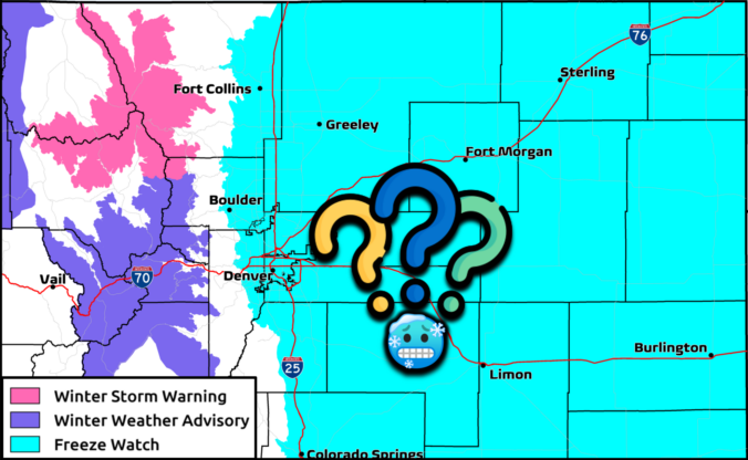
A fresh surge of moisture, lift and colder air are flowing into the Front Range today, with rain, high‑elevation snow, and even a few rumbles of thunder unfolding before the storm finally winds down Monday evening. The highest terrain could quietly overachieve on snow, while the Boulder-Denver area stays mostly just rainy. We also check in on the declining chance for sub-freezing temperatures Monday night.

Continue reading

Premium BoulderCAST Daily – Sun 05/17/26 | Severe weather chances this afternoon, followed by widespread precipitation tonight

The Front Range will see two waves of precipitation today and tonight. As we have discussed over the past few days, a vigorous storm system will take aim on the region through Monday night. The system today is still to our west over eastern Nevada. However, the storm is large enough such that it will an initial surge of energy …

Premium BoulderCAST Daily – Sat 05/16/26 | Severe threat this weekend, followed by snow Monday?

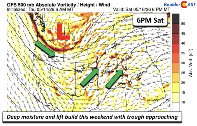
The active pattern is about to begin as a strong and rather impressive trough slowly approaches this weekend, not moving out until late Monday or Tuesday. As the system slowly tracks east-southeast, we'll see a variety of active weather, from severe weather, to widespread rain, and maybe even snow. For today and Sunday, with the system to our west, we'll …

Premium BoulderCAST Daily – Fri 05/15/26 | Sunny and 80s to close the week, but unsettled weather on the horizon

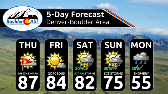
The week ends relatively quiet, but still mild. We are sunny with middle 80s across the Front Range to end our work week. I would not be surprised if a stray shower develops later this afternoon and evening, but that chance will be much greater this weekend into early next week. A large trough presently over the Pacific Northwest will …

Premium This Weekend in Colorado Weather: From dry heat to chilly rain as a new pattern targets the West

Good Thurdsay morning, everyone. If you slept poorly last night, you weren’t alone. Temperatures stayed very warm here near the base of the Foothills, and actually apparently rose overnight at our station. Definitely was not prepared for full-on summer-like sleeping conditions last night. Even with the house fan blasting, it didn't help cool things off much. Thursday: Shortwave Grazes the …

Premium BoulderCAST Daily – Wed 05/13/26 | Thickening afternoon clouds could spoil Boulder’s bid for earliest 90° day on record

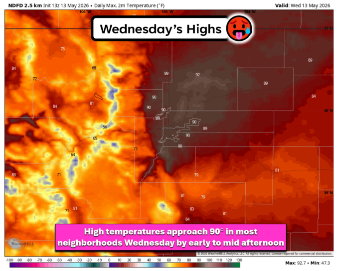
The big mid‑level ridge driving this week’s warmth will park itself directly over the Front Range through the first half of our Wednesday, giving us full sun and a rapid climb toward 90°. If Boulder hits that 90° reading, this will become our earliest 90° reading on record, narrowly beating May 15, 1978 for the honor. The atmosphere is primed …

« Older posts Newer posts »