Category: BoulderCAST Daily (Page 162 of 465)

This page contains an index of our BoulderCAST Daily forecast updates. If you are NOT a Premium member, you will only see a tiny sample of this content below. Subscribe to BoulderCAST Premium to gain access to all of our daily forecasts which get published every morning.
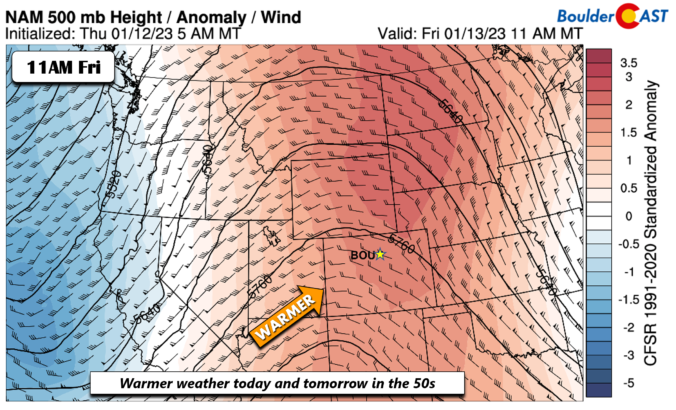
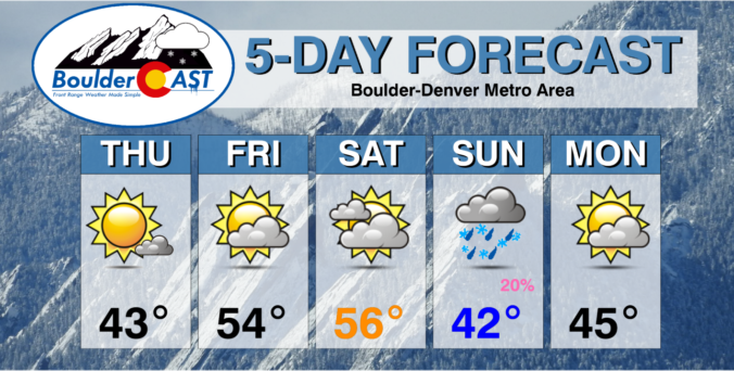
BoulderCAST Daily – Fri 01/13/23 | Warming into the 50s today and tomorrow

Apleasant ridge ends our week with highs in the low to middle 50s today and mid to upper 50s on Saturday. A large trough will pummel the west coast today and this weekend. But all is quiet here today. We will see intermittent high clouds from time to time today spreading in from the south and west. That should not …

This Weekend in Colorado Weather: January 12, 2023

Areas of patchy dense fog have developed this morning across the northern Front Range. It doesn't appear to be foggy at all here in Boulder at the moment, but parts of the Metro area are under a Dense Fog Advisory for this travel hinderance. Visibility observations indicate the fog may be worse out towards Longmont and into parts of Weld …

BoulderCAST Daily – Wed 01/11/23 | Spotty wet snow showers through early afternoon, but they won’t amount to much

The Pacific trough axis is already entering western Colorado this morning with an area of decent lift moving across the state --- this is just beginning to work into the Front Range and Denver Metro area as of sunrise. Current radar shows a narrow band of wet snow coming down off the Foothills around Boulder. This will produce a brief …

BoulderCAST Daily – Tue 01/10/23 | Windy & warm today, colder with a chance of snow Wednesday

⦁❶⦁ A mountain wave will lead to widespread gusty winds today, strongest in and near the Foothills in excess of 50 MPH

⦁❷⦁ Mostly sunny on Tuesday with highs in the middle 50s

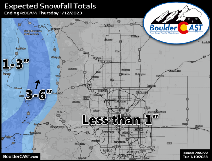
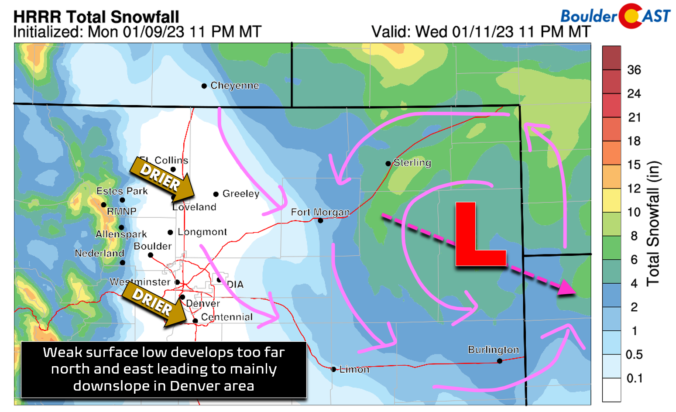
⦁❸⦁ A storm system races across the state on Wednesday, but develops in an unfavorable location too far north and east for Denver — snow chances are not great

⦁❹⦁ Much cooler on Wednesday in the 30s with a slight chance of snow showers — 0 to 1″ of accumulation possible on the grassy surfaces
Continue reading

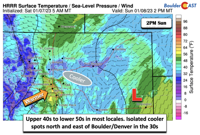
BoulderCAST Daily – Sun 01/08/23 | Our warmest day of the weekend is today

Mid and high clouds will be overspreading much of our state this morning into the evening with a large system impacting the northwest United States. We will be dry but there will at times be a milky appearance to the sky. Even with the high clouds, temperatures will reach the upper 40s in most locations. Some lower 50s are possible …

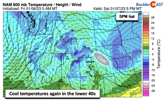
BoulderCAST Daily – Sat 01/07/23 | Quiet weather with temps in the lower 40s

Aridge of high pressure builds into the area today from Utah, spelling out clouds on the decrease. A large area of low pressure, though, is poised to bring another round of precipitation across the west coast of California. At the surface today, weak flow and an airmass similar to Friday will spell out another day in the lower 40s. Look …

BoulderCAST Daily – Fri 01/06/23 | Mostly Cloudy and overall dry with upper 30s/lower 40s

An upper-low will track from west to east across the state this afternoon and into the early evening. This system will be responsible for bringing widespread light to at times moderate snow to the High Country. Usually the upslope in the mountains happens when an area of low pressure moves east of the Divide, and this situation is no different. …

« Older posts Newer posts »