Category: BoulderCAST Daily (Page 13 of 465)

This page contains an index of our BoulderCAST Daily forecast updates. If you are NOT a Premium member, you will only see a tiny sample of this content below. Subscribe to BoulderCAST Premium to gain access to all of our daily forecasts which get published every morning.
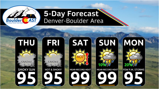
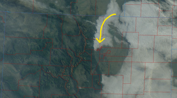
Premium This Weekend in Colorado Weather: As the Heat Dome Reloads, Thickening Smoke Might Be the Only Thing Keeping Us Below 100°

ARebuilding Heat Dome & Stagnant Pattern fter our quick two‑day breather, the sprawling heat dome across the Southwest is already rebuilding and will anchor itself over the Four Corners today through the weekend. Model guidance keeps this ridge nearly stationary—barely wobbling but 100 miles between now and Monday. That’s a locked‑in pattern, and it certainly will affect our weather day …

Premium BoulderCAST Daily – Wed 08/05/26 | Mid‑80s Today, Near‑100° by the Weekend — Plus More Smoke
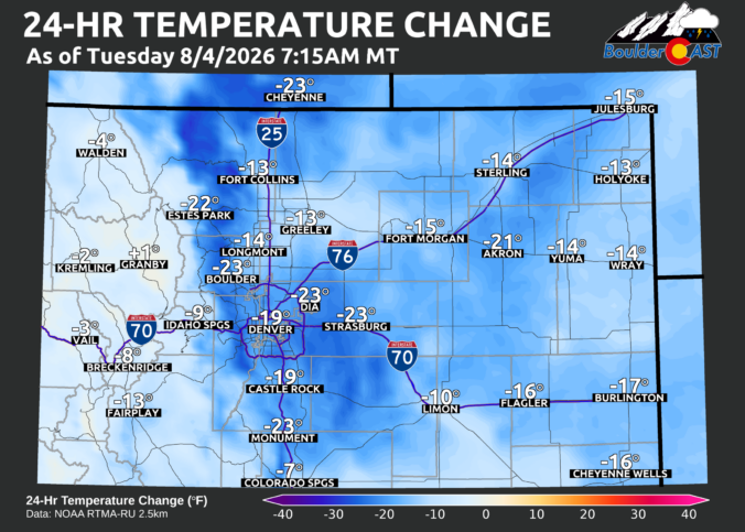
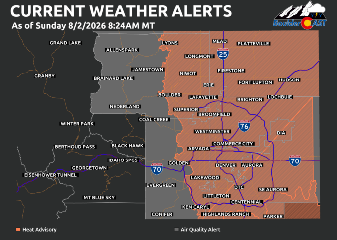
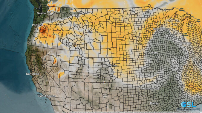
Highs finally dipped out of the relentless heat on Tuesday — our first sub‑80° day in seven weeks across the Denver Metro area. Boulder even struggled to escape the upper 60s! Even with elevated smoke, it was one of those rare midsummer days where you could step outside at any hour without getting blasted by the climate change furnace. That …

Premium BoulderCAST Daily – Tue 08/04/26 | The Extreme Heat Breaks at Last, but the Smoke Holds Its Ground

Monday delivered exactly what the synoptic setup had been telegraphing for days: a final sweltering day across the Front Range. Temperatures surged into the lower 100s, making it the hottest day of the summer in several spots. Denver’s record fell with a high of 102°F, a new daily mark for August 3rd. https://twitter.com/NWSBoulder/status/2084408062048366711 Boulder went even further, topping out at …

Premium BoulderCAST Daily – Sun 08/02/26 | The Front Range Braces for a 100° Doubleheader

GRecord Heat Sunday & Monday OES-East water vapor imagery early this morning shows the core of the upper ridge centered over central Arizona, with a broad clockwise circulation funneling hot, desiccated air directly into Colorado. This is classic mid‑summer ridge behavior for the region: strong mid‑level warming, suppressed cloud cover, and efficient boundary‑layer mixing. A fast-moving Pacific Northwest trough will …

Premium BoulderCAST Daily – Sat 08/01/26 | Hot Temperatures Build This Weekend

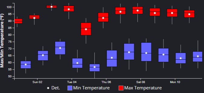
Hot temperatures build today and peak Sunday and Monday as a very strong and highly anomalous ridge sets over the region. The NBM forecast high temperatures are indicated below for Denver. This afternoon, we should top out in the middle 90s. But the real heat comes Sunday and Monday when triple digit readings will be quite common. There is a …

Premium BoulderCAST Daily – Fri 07/31/26 | Marginal Risk of Severe Storms with Smoke and Haze

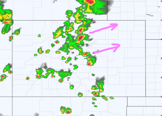
Isolated afternoon storms will be around into the early evening across the Front Range of Colorado, but that percent chance of storms reaching your area is about 20%. However, with a nearby trough in the east, there is enough energy in the atmosphere to favor a risk of some locally damaging winds with the strongest cells. SPC currently has a …

Premium BoulderCAST Daily – Wed 07/29/26 | Final Storm‑Filled Afternoon Before an Expanding Desert Southwest Heat Dome Takes Over

Monsoon moisture is still hanging on across the Front Range this morning, giving us one more solid shot at beneficial rainfall before the pattern dries out heading into the weekend. GOES‑East imagery continues to show deep subtropical moisture draped over all of Colorado, though the first hints of change are showing up to our south where that tap is beginning …

« Older posts Newer posts »