


Author: Ben Castellani (Page 139 of 358)
Ben grew up in southwestern Pennsylvania and holds both a bachelor's and a master's degree in Meteorology, the latter being from CU Boulder. His hometown received nearly three feet of snow from the Storm of the Century back in March of 1993, sparking his initial interest in impactful weather. Ben currently works on remote sensing and data analysis software at NV5 Geospatial Software in Boulder.
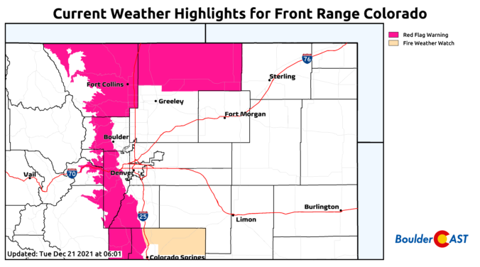
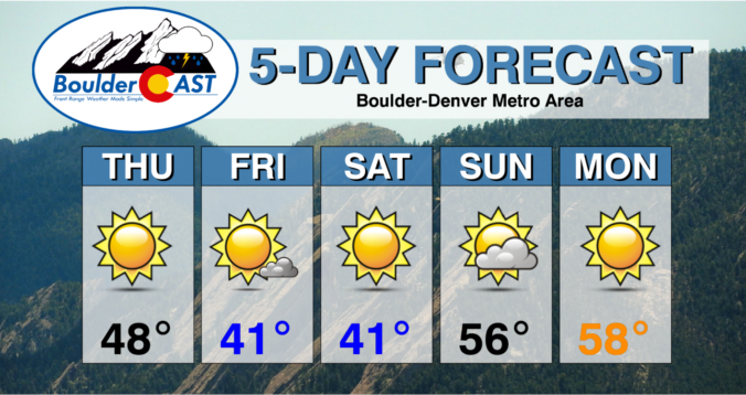

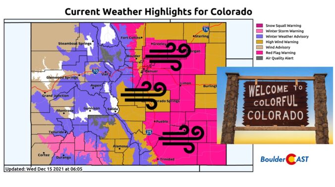
Things are about to start rocking and rolling across the Front Range as a potent storm system rapidly races across Colorado early this morning. Here’s the latest update on the timing of everything, where the snow squall is headed, potential snow amounts, and the all-important wind speed outlook.
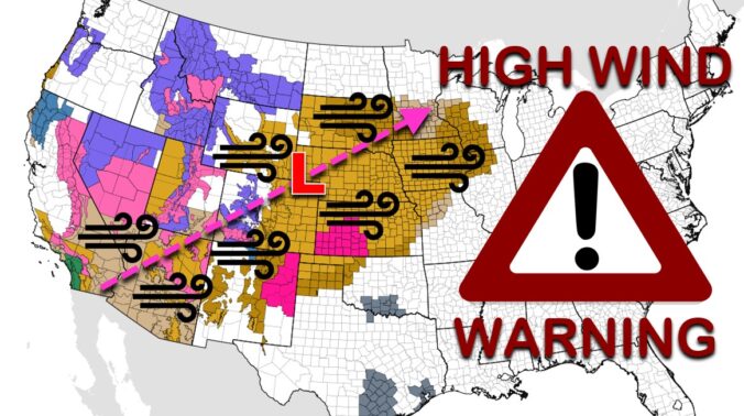
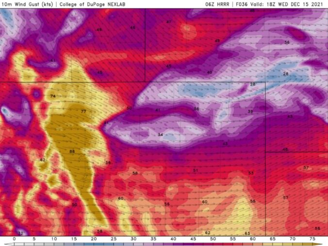
Batten down the hatches! A significant and potentially historic wind event is about to unfold across the Front Range on Wednesday with gusts reaching up to 100 MPH. A band of heavy snow will also race across the state during the morning hours creating dangerous travel, especially in the Mountains. Let’s review the setup, the timing of the snow and strongest winds, and the potential snow amounts and impacts across the area.

Well, Denver’s snowless streak finally came to an end as a dusting of frozen precipitation was reported at Denver International Airport this past Friday morning. Unfortunately, the week ahead will not continue the trend with a largely dry week expected. We are closely watching a quick-moving storm set to race across the area on Wednesday which could bring white-out conditions to the Mountains and very strong winds to the Denver Metro area. The meager chance of rain/snow with this mid-week system will offer little reprieve for the extreme drought which now encompasses the entire area.
Live Radar

Trending Content


Recent Premium Posts

This Weekend in Colorado Weather: The Quiet Pattern Ends as Storm Activity Picks Up Across the West
After weeks of sunshine, mild afternoons, and storm systems repeatedly missing Colorado to …
BoulderCAST Daily – Wed 11/11/26 | Mild Days Ahead, But There Are Signs of a More Active November Soon
☀️ Warm & Quiet — Sunshine dominates through Thursday with highs rising from …
BoulderCAST Daily – Tue 11/10/26 | Clouds Increase Today, But Colorado’s Dry Pattern Rolls On
🌤️ A Few More Clouds Today – Mountain wave clouds are developing along …
© 2026 Front Range Weather, LLC