



Author: Ben Castellani (Page 138 of 358)
Ben grew up in southwestern Pennsylvania and holds both a bachelor's and a master's degree in Meteorology, the latter being from CU Boulder. His hometown received nearly three feet of snow from the Storm of the Century back in March of 1993, sparking his initial interest in impactful weather. Ben currently works on remote sensing and data analysis software at NV5 Geospatial Software in Boulder.
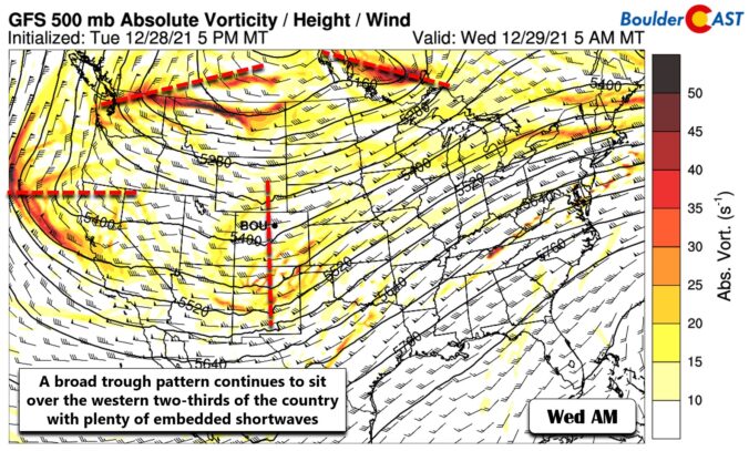
⦁❶⦁ Falling and blowing snow will continue at various intensities in the Mountains through the rest of the week causing travel impacts
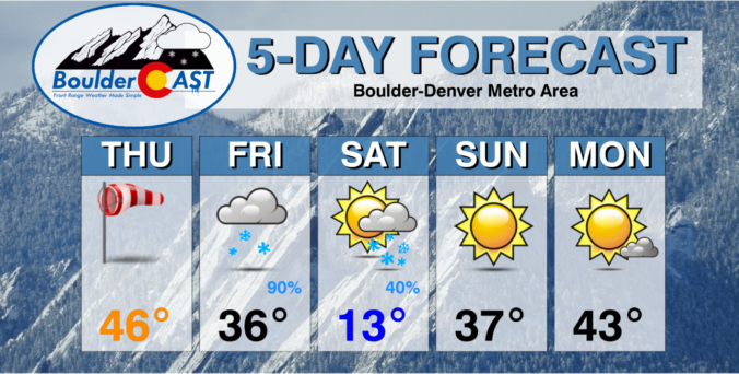
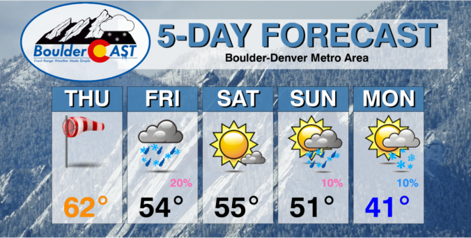
⦁❷⦁ Very quiet today across the Denver Metro area with highs in the 30’s under partly cloudy skies
⦁❸⦁ Warmer tomorrow, but high winds are possible in and near the Foothills — this will create elevated fire danger
⦁❹⦁ New Year’s Eve snowfall is all but guaranteed (woo!), but models still disagree on how much snow will fall


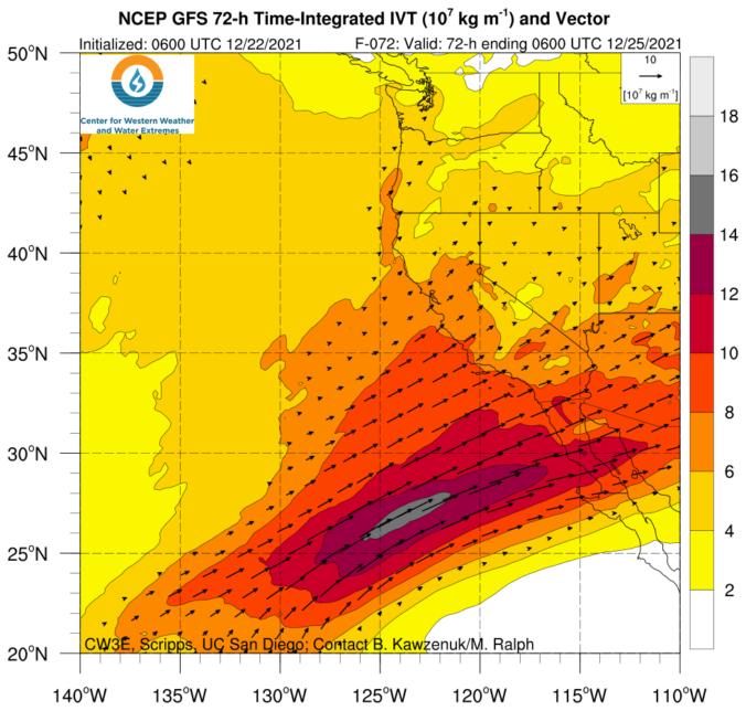
Our state has benefited greatly from the recent atmospheric river event with snowpack thankfully getting back close to normal for now. However, things remain dreadfully dry east of the Continental Divide. The week ahead will offer generally cooler than normal temperatures across the Denver area with continued Mountain snowfall really piling up. We are also tracking a potential Arctic outbreak and some snow just in time to ring in the New Year. Here’s the latest.
Live Radar

Trending Content


Recent Premium Posts

This Weekend in Colorado Weather: The Quiet Pattern Ends as Storm Activity Picks Up Across the West
After weeks of sunshine, mild afternoons, and storm systems repeatedly missing Colorado to …
BoulderCAST Daily – Wed 11/11/26 | Mild Days Ahead, But There Are Signs of a More Active November Soon
☀️ Warm & Quiet — Sunshine dominates through Thursday with highs rising from …
BoulderCAST Daily – Tue 11/10/26 | Clouds Increase Today, But Colorado’s Dry Pattern Rolls On
🌤️ A Few More Clouds Today – Mountain wave clouds are developing along …
© 2026 Front Range Weather, LLC
You must be logged in to post a comment.