


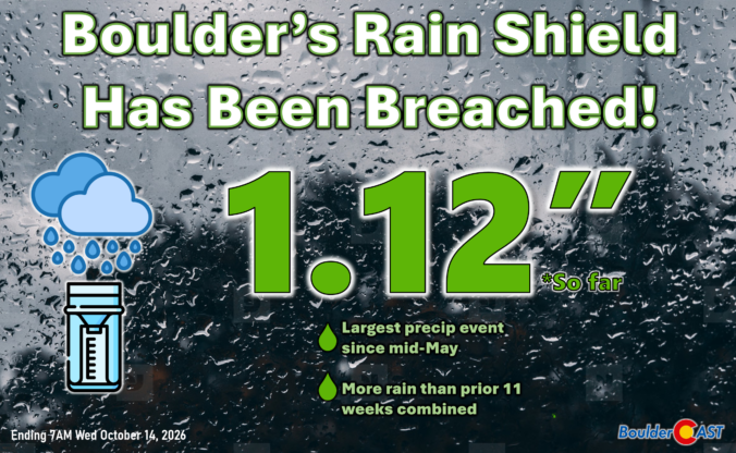
After months of drought, the Front Range is finally cashing in on a meaningful storm, with Boulder already topping an inch of rain and more moisture still to come. But are the best rains already behind us? A closer look at the storm’s evolving track suggests the answer may be yes, while a hard freeze waits on the other side of this long-overdue autumn gloom.
This content is for BoulderCAST Premium members only. Join Premium now to get access to our detailed forecast discussions for Boulder and Denver every single day, plus a bunch of other cool perks!

Go Premium, get all the perks.
Daily Forecast Updates
Get our daily forecast discussion every morning delivered to your inbox.
All Our Model Data
Access to all our Colorado-centric high-resolution weather model graphics. Seriously — every one!
Ski & Hiking Forecasts
6-day forecasts for all the Colorado ski resorts, plus more than 120 hiking trails, including every 14er.
Smoke Forecasts
Wildfire smoke concentration predictions up to 84 hours into the future.
Exclusive Content
Weekend outlooks every Thursday, bonus storm updates, historical data and much more!
No Advertisements
Enjoy ad-free viewing on the entire site.











Leave a Reply
You must be logged in to post a comment.