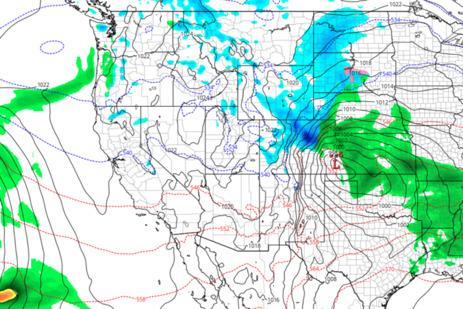
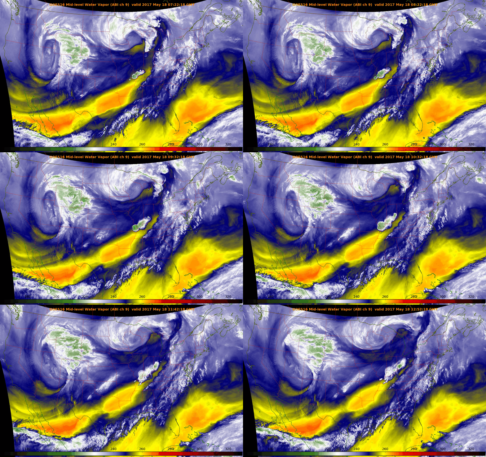
Monday evening’s wet snow brings us closer to normal precipitation for the month of March. We review the snow totals from across the region and discuss our next chance of snow.
Tag: Spring (Page 3 of 5)
Despite the warm weather of late, snow is once again headed to our region Monday evening and night. We provide details on the timing and potential snowfall amounts for this quick-moving spring storm.
Premium Storm Update (Mon Mar 26 at 7:00 AM) Minor northward adjustments for tonight’s rain/snow: READ NOW
Another spring storm will be impacting the entire state of Colorado Sunday afternoon into Monday. For the Front Range, the forecast over the next 24 hours includes thunderstorms, soaking rain, and accumulating snow. Read on to find out when we expect rain to change-over in your location and for our snowfall forecast map with potential amounts.
We provide an updated forecast for the powerful spring storm currently impacting the region. Slightly colder temperatures have bumped up our snowfall forecasts in some locations. Read on for details.
The next few days will solidify the rest of the country’s belief that our weather here is pure insanity. We provide an update on what is shaping-up to be an historic late-season winter storm for the Front Range Foothills. The potential for accumulating snow across the lower elevations is much more uncertain at this time. Read on for the latest details…
Our weather turned quite warm to end the week, with Friday, Saturday and Sunday well above average in the 80’s across much of the Metro area. Unfortunately, this week will see a gradual drop in temperatures all thanks to a large cut-off low pressure system churning slowly across the Desert Southwest. It also looks to be a wet week overall, especially Tuesday and Wednesday. All the details can be found in our week ahead outlook, so read on…
Happy First of May! Last week’s wintry weather will indeed be a tough act to follow. The week ahead will be quieter for sure, but the threat of rain and higher elevation snow is still a concern. We also see 80-degree temperatures and a stellar weekend on the horizon. Read on for our complete forecast of the upcoming week.
As we have been relaying to you all week, another spring snow storm is on the way this evening and will linger into Saturday afternoon. Read on as we detail our final thoughts on the storm and snow amounts for the Foothills and Plains.
© 2026 Front Range Weather, LLC


You must be logged in to post a comment.