We begin the week under the protective influence of a mid-level ridge of high pressure. With this, the Front Range will be (mostly) dry and at times very warm through the week. Read on for our short and to-the-point weekly outlook.
Tag: Boulder (Page 17 of 37)
2017 got off to a quick start with multiple snow storms dumping on parts of northeast Colorado and the Mountains. However, we’re seeing strong indication in the models that things are about to quiet down significantly for the foreseeable future.
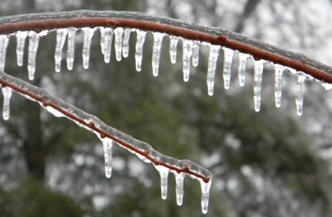
Yesterday saw a mix of wintry precipitation fall across the Denver Metro area. Snow pellets and snowflakes were observed in spots, but closer to the Foothills near Boulder, freezing drizzle produced a dangerous glaze of ice that was responsible for numerous car accidents (and probably many pedestrian slips and falls). We explain the rare weather set-up the led to the somewhat unexpected occurrence of ice in Boulder.
As one would expect during the month of January, our driest month of the year, this week will be relatively quiet across the Front Range. We’re tracking continued Mountain snowfall early in the week, and with a large trough moving in, cooler temperatures will linger statewide through the weekend. Continue reading for our complete weekly outlook.
We start this week on the cold and snowy side with an area of low pressure off to our east in Kansas. However, a welcomed ridge of high pressure will take over through much of the remainder of the week and lead to a really nice warm-up. We’re also tracking the potential for a more active weather pattern towards the weekend. Read on for all the details of the weather week ahead.
A quick update on today’s weather as a cold front arrives later this morning bringing snow to the region. Model disagreements, even in this final hour, leave some uncertainty into how much snow may fall. Read on for all the details.
Compared to last week, the week ahead will feel like spring has sprung, at least if you stay below about 9,000 feet! Southwesterly flow will produce heavy mountain snow through Wednesday, alongside moderating temperatures for the lower elevations. We’re also tracking the potential for a couple nasty wind storms. Read on for our complete outlook of the upcoming week.
This Live Blog has concluded.
© 2025 Front Range Weather, LLC
